painting, watercolor
#
dutch-golden-age
#
painting
#
watercolor
#
cityscape
#
history-painting
Dimensions: height 104 mm, width 150 mm, height 532 mm, width 320 mm
Copyright: Rijks Museum: Open Domain
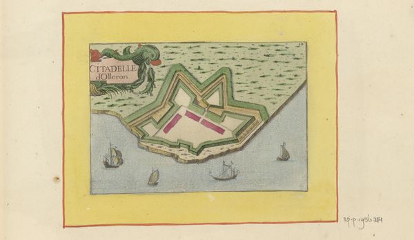
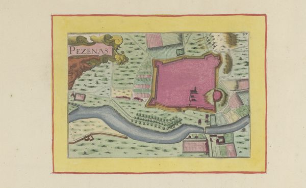
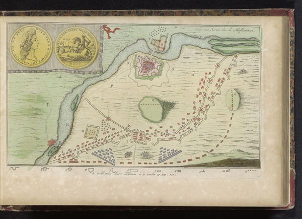
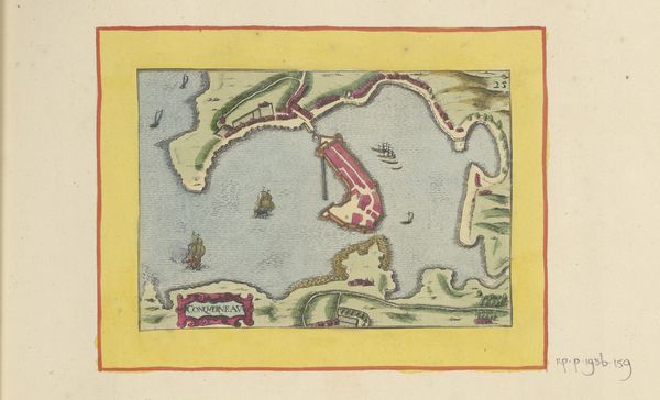
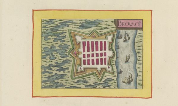
This is an anonymous map of the citadel at Port-Louis, made at an unknown date by an unknown author. It shows us Fort de Blavet, a military structure on the coast of Brittany in France. Looking at this map, it’s worth considering what kind of cultural work is being performed. A map like this is more than a neutral record. It’s about the politics of imagery and the projection of power. It emphasizes the geometrical layout of the fort, making it look orderly and impenetrable. The ships that surround the fort imply maritime power and a strong trading presence. As art historians, our job is to investigate the social conditions that shape this type of artistic production. Who was this map for, and what did they want to get out of it? What did it mean to control and survey territory in this period? Accessing historical resources such as maritime records, trade statistics, and military reports can help us understand the role of images in their original context.
Comments
No comments
Be the first to comment and join the conversation on the ultimate creative platform.
More like this