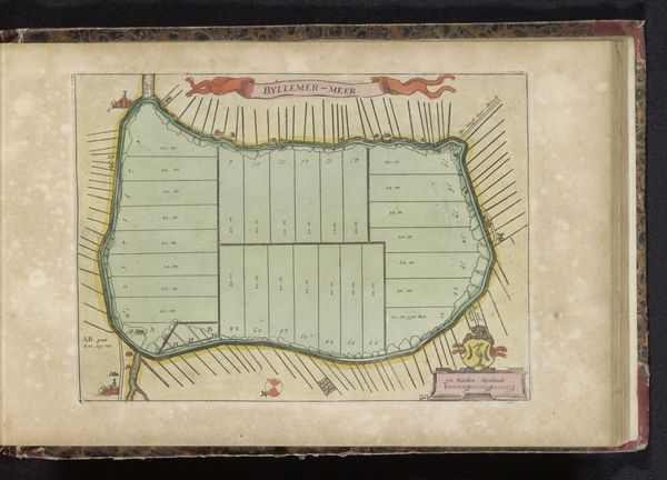
drawing, print, etching, paper, watercolor
#
drawing
#
water colours
# print
#
etching
#
paper
#
watercolor
#
coloured pencil
#
cityscape
#
watercolour illustration
#
history-painting
#
watercolor
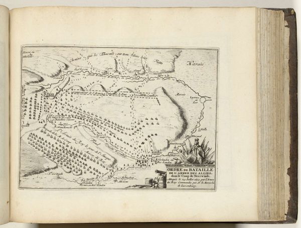
Dimensions: height 170 mm, width 270 mm
Copyright: Rijks Museum: Open Domain
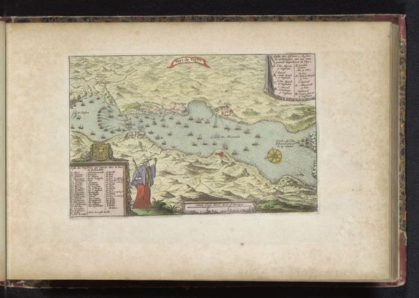
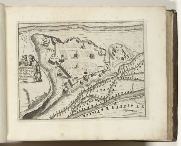
This is an anonymous map from 1700, depicting the siege of Narva, a key moment in the Great Northern War. The map provides a bird's-eye view of the siege, detailing troop placements and fortifications. Cartography at this time was not just about geography; it was deeply intertwined with power, strategy, and national identity. These maps were tools of war, influencing military decisions. Embedded within the visual language of the map are the faces of leadership and the notion of territory. Note the symbols used to demarcate the opposing forces. How do these choices reflect contemporary attitudes toward warfare and national identity? While seemingly objective, maps are never neutral. This detailed rendering of Narva's siege subtly reinforces the authority of the Swedish Empire. Consider the human cost obscured by this representation. What stories remain untold in this carefully constructed image of war?
Comments
No comments
Be the first to comment and join the conversation on the ultimate creative platform.
More like this