drawing, paper, watercolor, ink
#
drawing
#
dutch-golden-age
#
perspective
#
paper
#
watercolor
#
ink
#
history-painting
Dimensions: height 103 mm, width 150 mm, height 532 mm, width 320 mm
Copyright: Rijks Museum: Open Domain
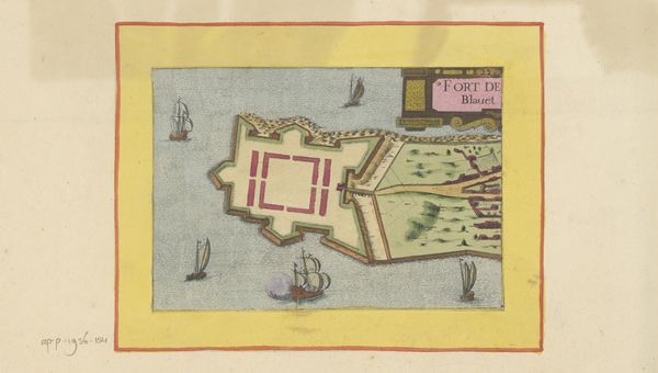
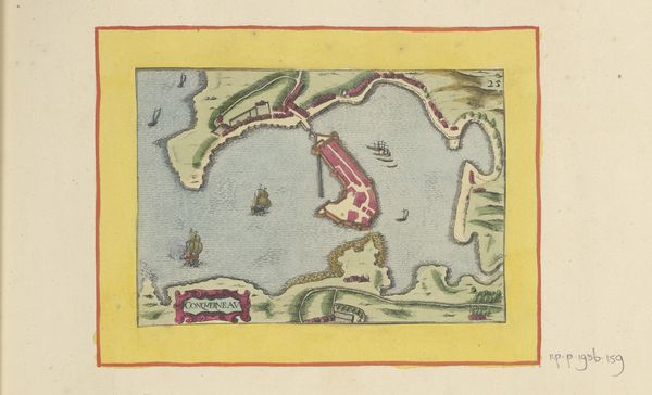
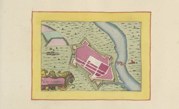
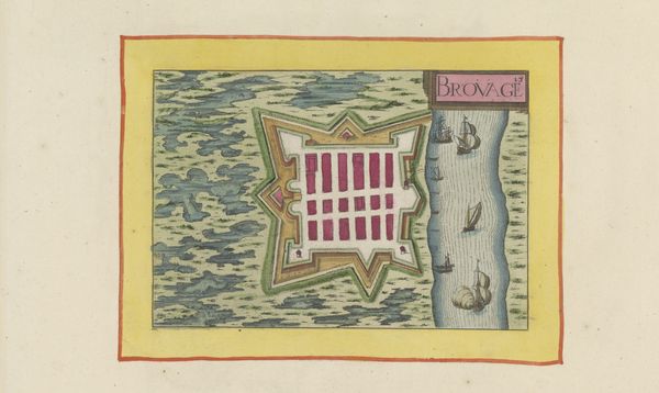
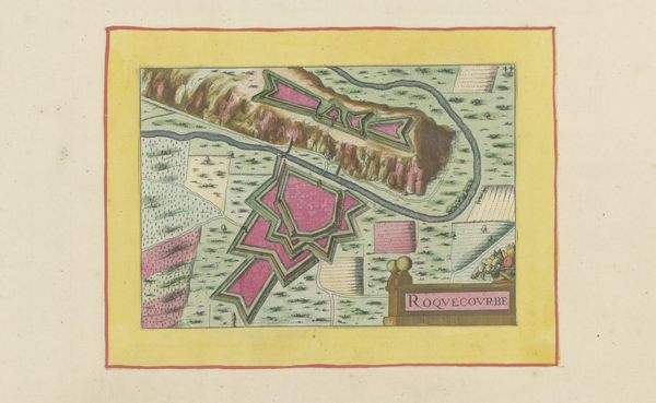
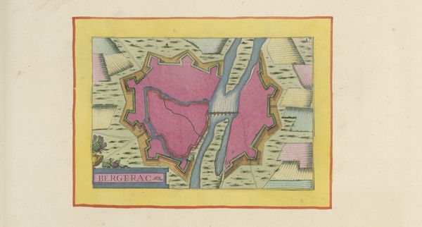
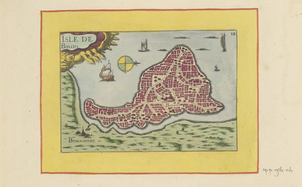
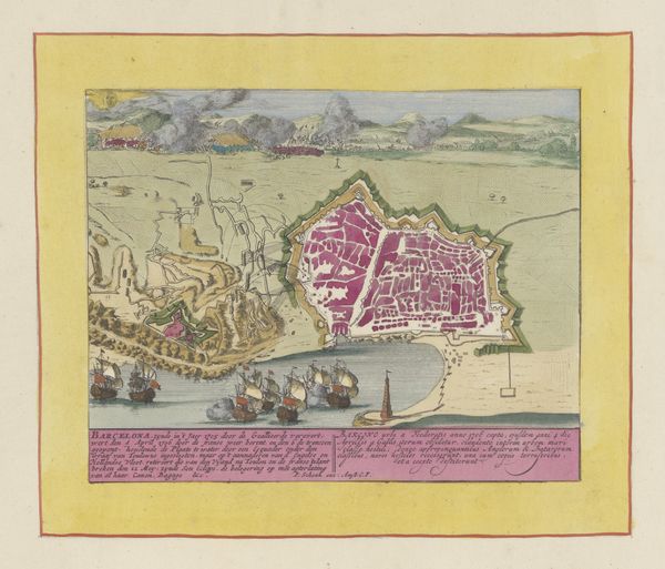
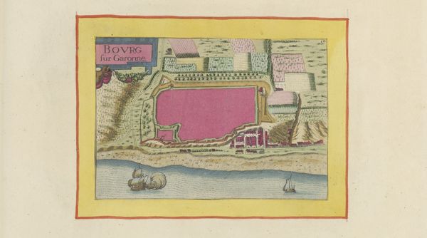
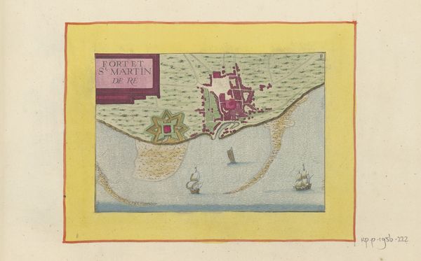
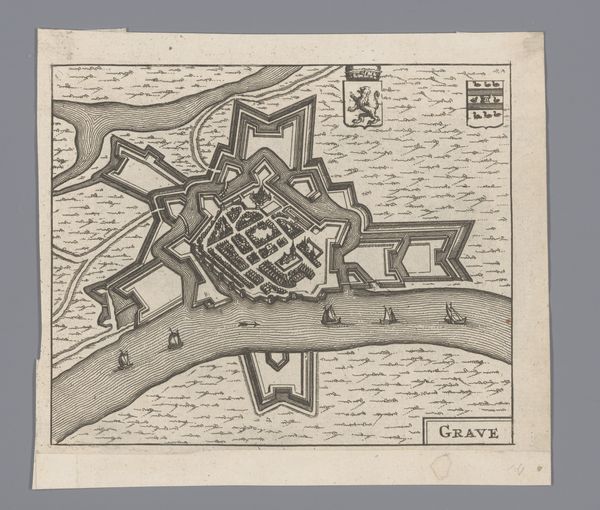
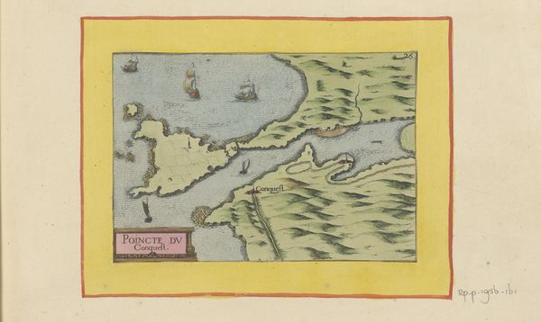
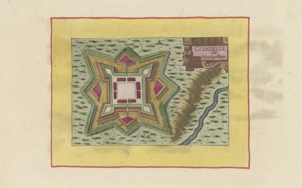
This detailed map of the fortification on Île d'Oléron was created by an anonymous artist using ink and watercolor on paper. The linear precision and vibrant colors emphasize the strategic significance of the island's defense architecture. The fortifications's layered, geometric shapes and their relationship to the surrounding landscape of water and land are meticulously rendered. The artist likely employed techniques such as fine brushwork, layering, and controlled application of pigments to achieve the map's detail. Mapping, as an applied art, has a fascinating social context because it is entwined with military and political power. Such maps played a crucial role in visualizing and asserting control over territories, reflecting broader issues of governance and defense. The materials and making of this map underscore the intersection of artistry, practical knowledge, and political strategy. The map challenges the traditional divide between fine art and functional design by highlighting the skill and artistry involved in visualizing space and power.
Comments
No comments
Be the first to comment and join the conversation on the ultimate creative platform.
More like this