painting, watercolor
#
painting
#
landscape
#
watercolor
#
history-painting
#
miniature
#
watercolor
Dimensions: height 104 mm, width 149 mm, height 532 mm, width 320 mm
Copyright: Rijks Museum: Open Domain
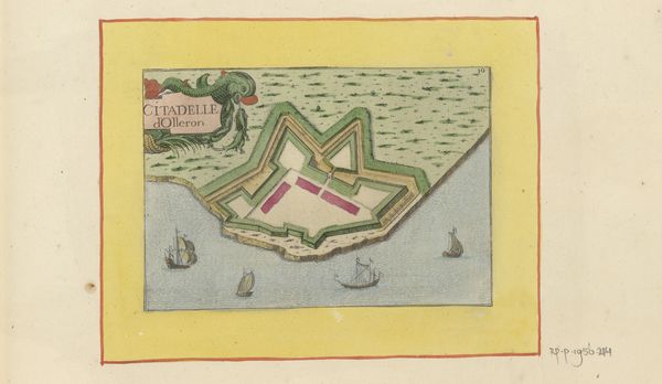
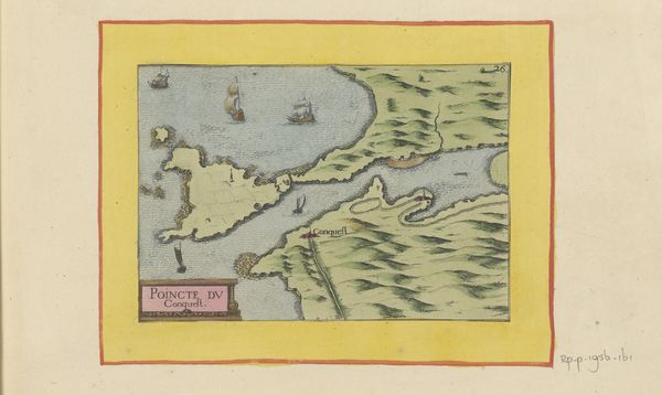
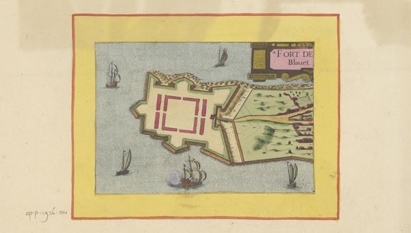
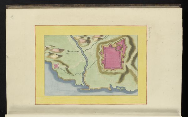
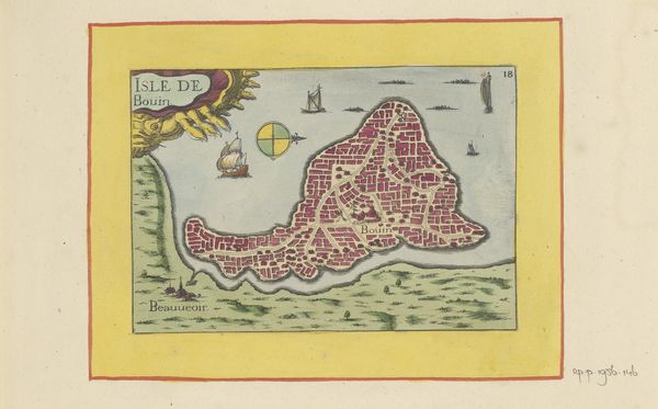
Curator: Let's take a closer look at "Kaart van Concarneau en omgeving," a watercolor from 1638, made by an anonymous artist. Editor: It's strikingly delicate! I am drawn to the details rendered at this miniature scale. You feel the vastness of the sea but also the vulnerability, with little ships against an encompassing open sea. Curator: Exactly! It's history and craft rolled into one. Look at the coloring process. What are the social structures behind a painter tasked to illustrate this strategic, crucial harbor location? The very production tells its own story. Editor: A harbor does signify shelter and a portal. But to map and render, as well as name "Concarneau," points to control. It is also the color scheme; the land represented in earthly green and brown tones stands in opposition to that vast, cool, airy openness implied by the dominating presence of light-blue and cool gray tones of the ocean itself. This speaks to freedom vs safety and belonging. Curator: The use of watercolor allows such detail while remaining portable. Imagine this map travelling across borders, facilitating trade or even war strategies! Think about the economic forces implied. What level of material, pigment or labour practices supported the commissioning of such work, its travel and storage? Editor: You are completely right to call out its utility. Beyond military gains or commodity exchange it evokes power but also fear of loss. Visually I keep landing on the fortification with this strong magenta; It visually suggests how it may signal the presence of human dominance—but also, paradoxically, smallness. The vast ocean minimizes humanity even within a safehold, and I keep contemplating those dual forces here! Curator: Thank you. Considering these details reveals much of the artist’s working process as well as its political moment. Editor: A confluence that changes how one can view it now.
Comments
No comments
Be the first to comment and join the conversation on the ultimate creative platform.
More like this