drawing, print, paper, ink
#
drawing
#
baroque
#
dutch-golden-age
# print
#
paper
#
ink
#
geometric
#
cityscape
#
history-painting
Dimensions: height 103 mm, width 150 mm, height 532 mm, width 320 mm
Copyright: Rijks Museum: Open Domain
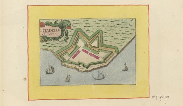
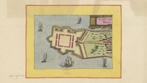
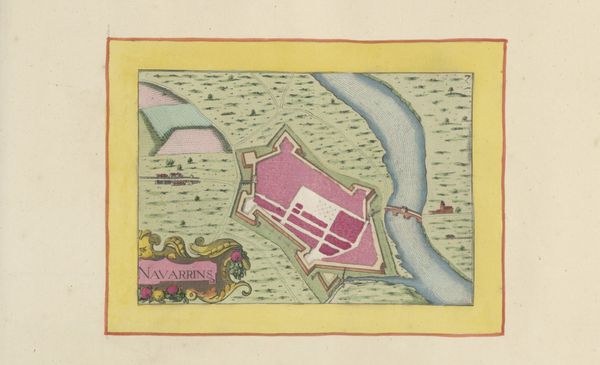
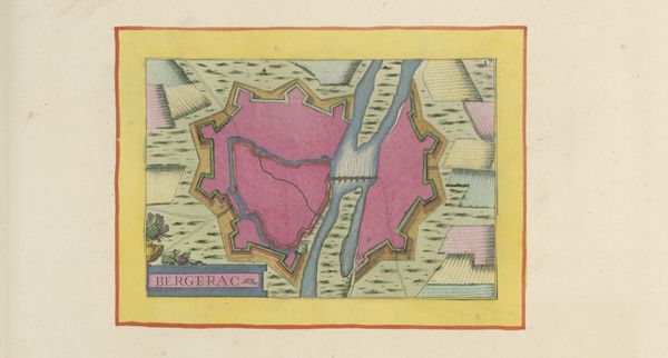
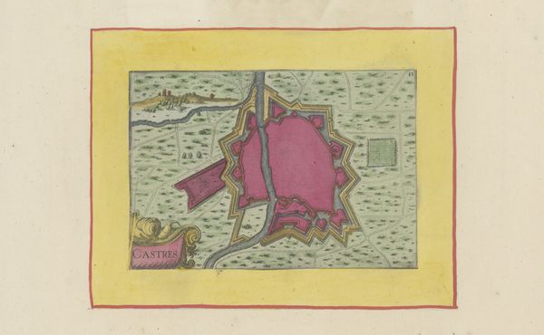
This anonymous map shows a bird's-eye view of Brouage, its waterways and fortifications. It presents a compelling interplay of geometric forms set against organic patterns. The rigid lines of the bastion contrasts with the fluid rendering of water. These formal choices may reflect a tension between human attempts to control and order nature. The vividness of the map is created by the stark juxtaposition of colours: the pink of the buildings inside the fort and the yellow border stand out against the greens and blues of the surrounding landscape. Semiotically, the contrast between the colours could highlight the oppositions of the natural and artificial. The map, therefore, serves not only as a record of place, but as an ideological statement about power and control. Ultimately, the Vestingplattegrond van Brouage challenges us to consider how visual representation can function both as documentation and interpretation.
Comments
No comments
Be the first to comment and join the conversation on the ultimate creative platform.
More like this