drawing, print, etching, paper, ink
#
drawing
#
baroque
# print
#
etching
#
landscape
#
paper
#
ink
#
geometric
#
cityscape
#
history-painting
#
watercolor
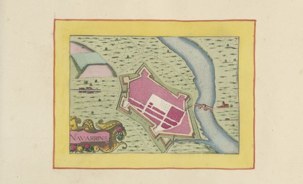
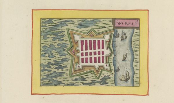
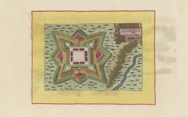
Dimensions: height 103 mm, width 153 mm, height 532 mm, width 320 mm
Copyright: Rijks Museum: Open Domain
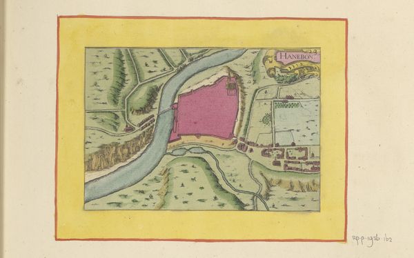
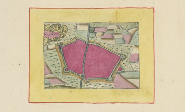
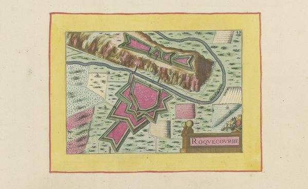
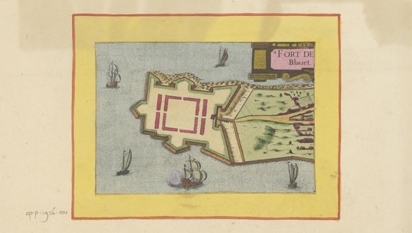
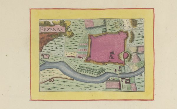
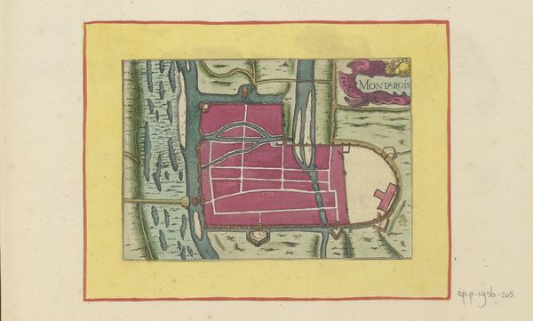
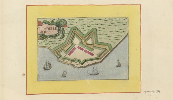
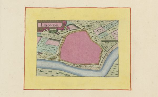
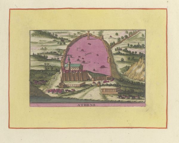
This map of Bergerac was made by an anonymous hand, using ink and watercolor on paper. The process of creating such a map involved careful surveying and draughtsmanship, transforming physical space into a two-dimensional representation. The use of watercolor allowed for nuanced depiction of terrain, water, and built structures. Notice the way the city's fortifications are rendered in pink, contrasting with the surrounding landscape. This map signifies an early modern impulse to understand and control territory, which connects with the rising power of European states. It likely served a practical function, guiding military strategy and urban planning. The detailed rendering shows the work involved in the production process. Considering the materials, making, and context of this map allows us to appreciate its significance as more than just a document, challenging traditional distinctions between fine art and craft.
Comments
No comments
Be the first to comment and join the conversation on the ultimate creative platform.
More like this