drawing, print, paper, ink
#
drawing
# print
#
landscape
#
paper
#
ink
#
geometric
#
cityscape
#
history-painting
Dimensions: height 103 mm, width 149 mm, height 532 mm, width 320 mm
Copyright: Rijks Museum: Open Domain
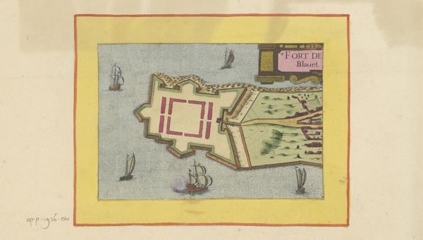
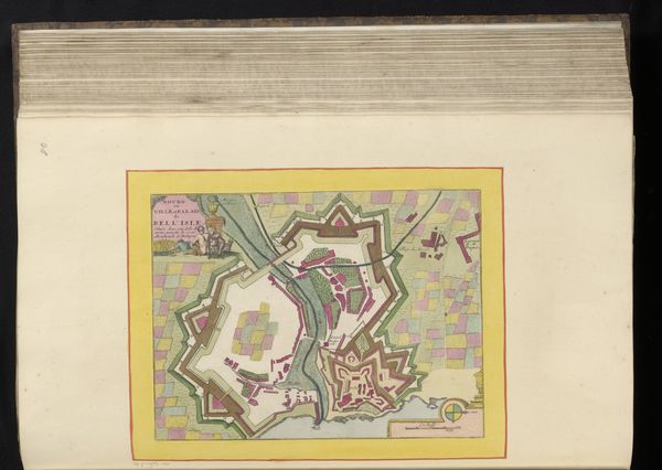
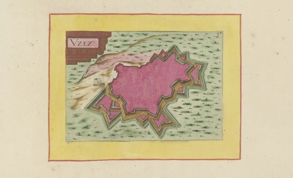
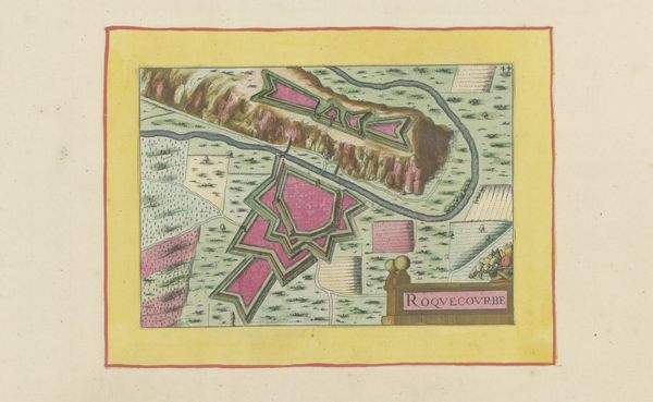
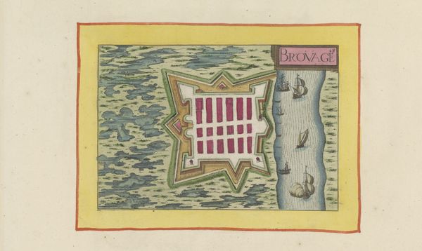
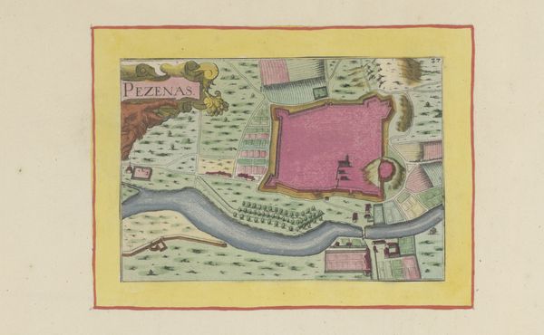
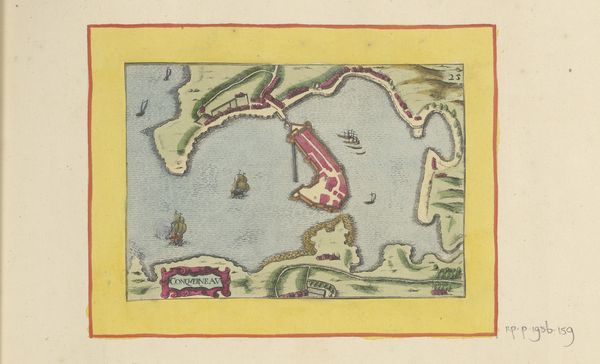
Editor: This is an interesting bird’s eye view! It’s entitled "Plattegrond van de vesting bij Montpellier," a print made in 1638 by an anonymous artist. The geometry of the fort is striking and very planned out. What can you tell me about its historical context? Curator: Well, consider what’s happening in Europe in the 17th century. This isn't just a picture, but a political and military document. The star fort design was cutting-edge military technology, emerging in response to advancements in artillery. These fortifications were status symbols, proclaiming a city's power and its ruler's ability to protect it. Editor: So, the map is not just informative but also propagandistic? How would this kind of image function in society? Curator: Precisely! It served to reassure citizens, deter enemies, and project the image of an organized, controlled space, particularly valuable given the internal religious conflicts of the era in France. Also, the "anonymous" attribution is interesting. Why is this knowledge potentially dangerous? What would happen if people knew details of fort structure and defenses? Editor: It makes sense now. If this map were to get into the wrong hands, it would provide key information for enemies of Montpellier! Today, that feels far removed from our usual art viewing experience. I've definitely gained a new perspective on the image! Curator: Absolutely, looking at art this way reminds us that images are never neutral. They always have social, political, and sometimes military roles. What did you learn? Editor: Definitely how maps of citadels can act as social performance of power in art form. Curator: And a warning to be wary of whose perspectives they truly served!
Comments
No comments
Be the first to comment and join the conversation on the ultimate creative platform.
More like this