About this artwork
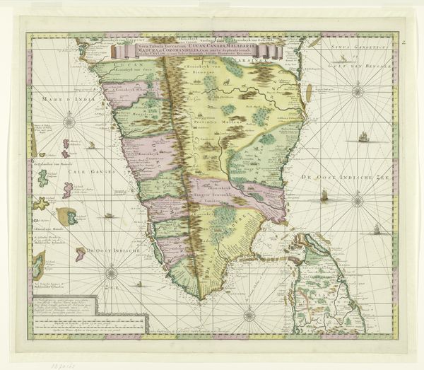
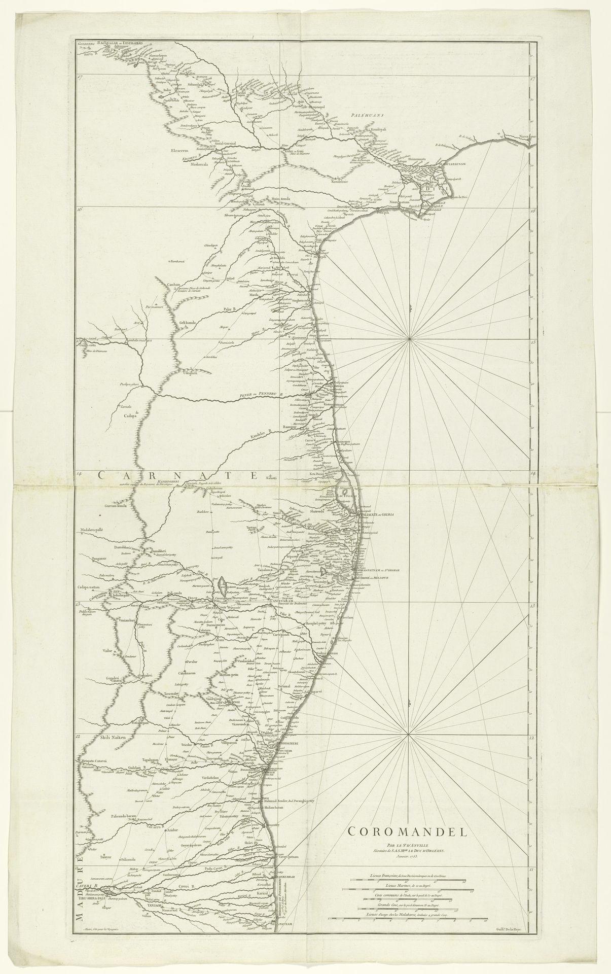
Jean Baptiste Bourguignon d'Anville, a prominent French geographer and cartographer, created this map of Coromandel. The map provides insight into the European exploration and the colonial mindset of the 18th century. D'Anville's meticulous depiction of geographical features and settlements reflects the era's growing interest in global exploration and trade. However, the map also embodies the power dynamics inherent in colonial projects. These maps were tools for asserting control over distant lands and resources, shaping perceptions of foreign territories and their inhabitants. Consider how maps can subtly influence our understanding of the world, often prioritizing certain perspectives and interests. How do they shape our perceptions of belonging, identity and power in a global context?
Artwork details
- Medium
- print, etching, paper
- Dimensions
- height 960 mm, width 500 mm
- Copyright
- Rijks Museum: Open Domain
Tags
Comments
Share your thoughts
About this artwork
Jean Baptiste Bourguignon d'Anville, a prominent French geographer and cartographer, created this map of Coromandel. The map provides insight into the European exploration and the colonial mindset of the 18th century. D'Anville's meticulous depiction of geographical features and settlements reflects the era's growing interest in global exploration and trade. However, the map also embodies the power dynamics inherent in colonial projects. These maps were tools for asserting control over distant lands and resources, shaping perceptions of foreign territories and their inhabitants. Consider how maps can subtly influence our understanding of the world, often prioritizing certain perspectives and interests. How do they shape our perceptions of belonging, identity and power in a global context?
Comments
Share your thoughts