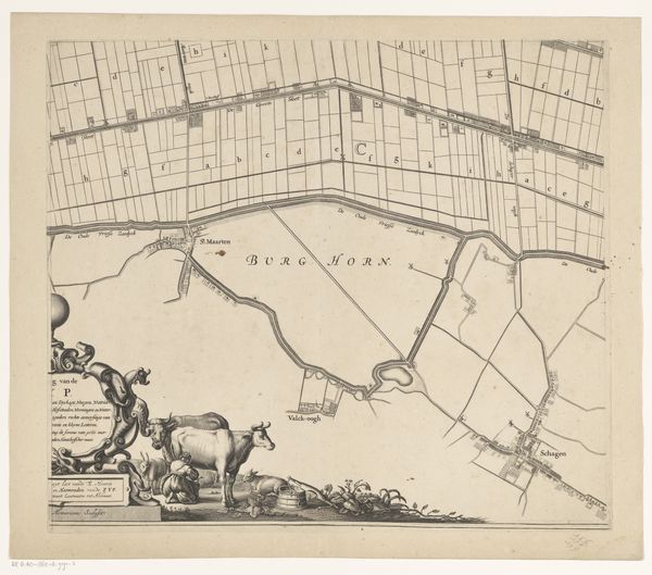
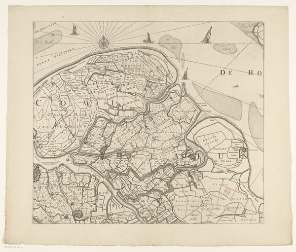
Kaart van Kennemerland en West-Friesland (deel rechtsonder) 1682 - 1811
0:00
0:00
coenraetdecker
Rijksmuseum
drawing, print, etching, ink, engraving
#
drawing
#
baroque
#
dutch-golden-age
# print
#
pen illustration
#
pen sketch
#
etching
#
landscape
#
ink
#
geometric
#
cityscape
#
engraving
Dimensions: height 442 mm, width 575 mm
Copyright: Rijks Museum: Open Domain
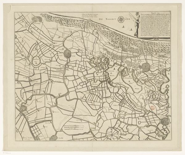
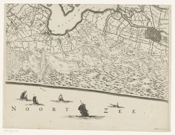
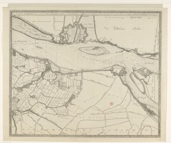
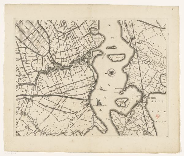
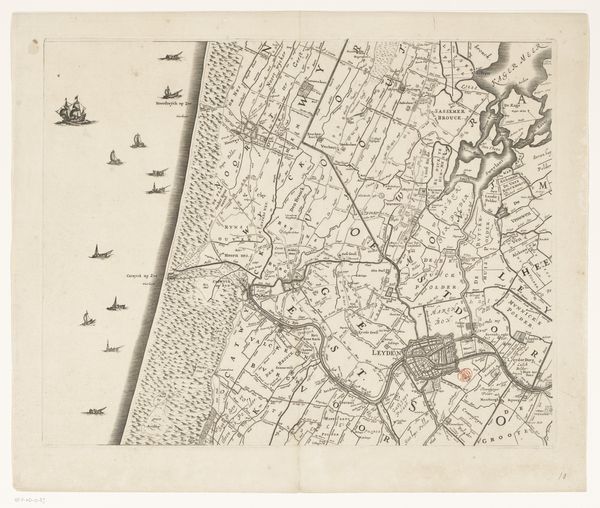
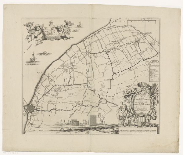
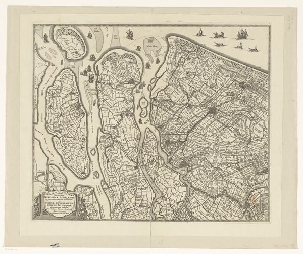
Coenraet Decker created this segment of a map of Kennemerland and West-Friesland in the Netherlands sometime around 1680. It shows us not only the geography of the area, but the degree to which the Dutch had mastered their environment. Look at the gridded landscape, created by an extensive system of canals. Land reclamation was a major preoccupation of the Dutch Republic at this time. This map celebrates the cultural and economic achievement that it represented. Cartography was, after all, a political tool. The Dutch used their advanced mapping skills to consolidate power. Note the cherubic figure in the lower left corner, seemingly an endorsement from the Gods, and how the sea is populated with Dutch trading ships. Today, historical geographers and art historians continue to explore archives and collections, piecing together the story of how maps like this shaped the world.
Comments
No comments
Be the first to comment and join the conversation on the ultimate creative platform.
More like this