#
comic strip sketch
#
pen sketch
#
river
#
etching
#
personal sketchbook
#
ink drawing experimentation
#
pen-ink sketch
#
pen work
#
sketchbook drawing
#
storyboard and sketchbook work
#
sketchbook art
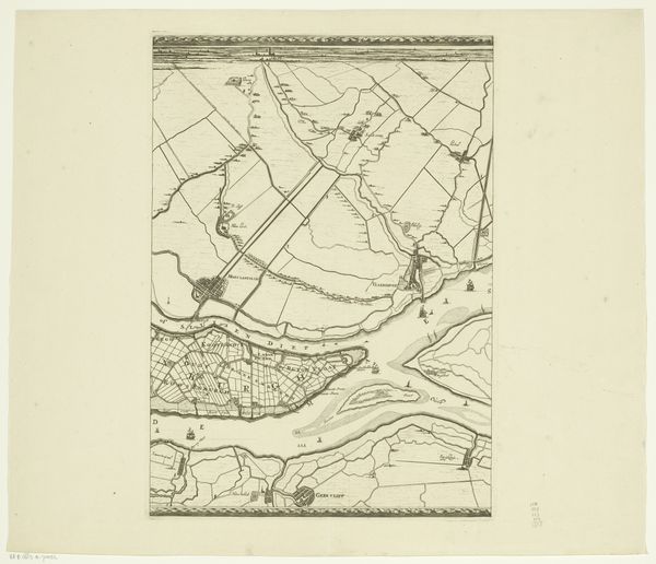
Dimensions: height 555 mm, width 655 mm
Copyright: Rijks Museum: Open Domain
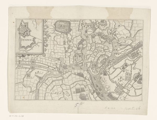
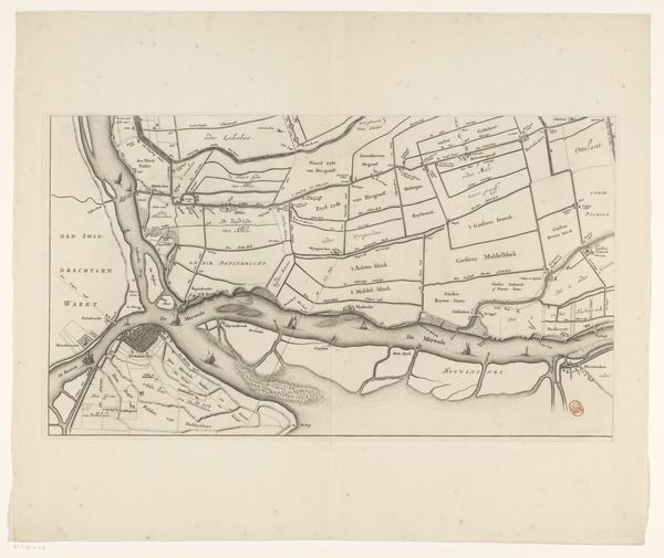
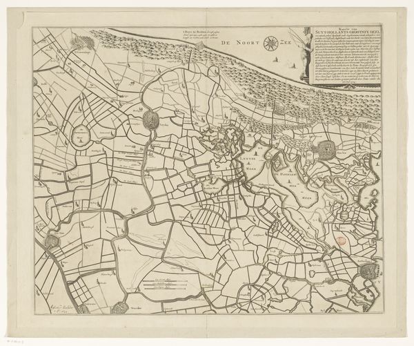
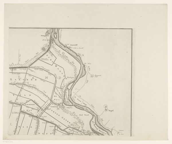
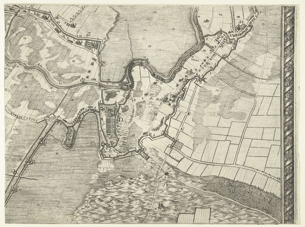
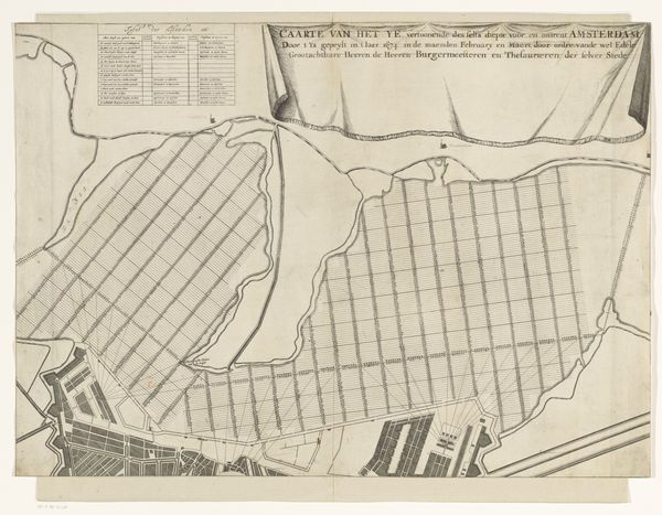
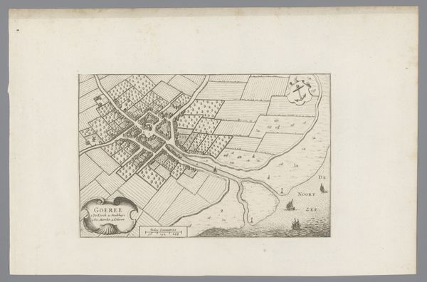
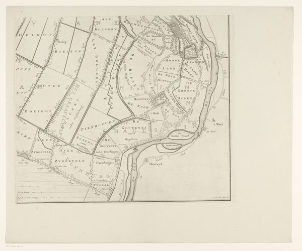
David Coster's "Map of the Merwede River," likely made in the early 18th century, meticulously charts the Dutch waterway and its surrounding fortifications. But it's more than just a geographical record. This image speaks to the Netherlands' strategic concerns and technological prowess of the time. The detailed depiction of fortresses underscores the country's vulnerability and its commitment to defense in an era of frequent European conflicts. Note how this map turns land into an object of military and political strategy. The map also highlights the Dutch mastery of hydraulic engineering, evidenced by the careful mapping of polders – land reclaimed from water. This was a period when the Netherlands' economic strength was closely tied to its ability to control water resources. To fully understand Coster’s map, historians would need to consult military archives, engineering treatises, and economic records. Art like this is a reminder that any image is as much a product of social needs as aesthetic choices.
Comments
No comments
Be the first to comment and join the conversation on the ultimate creative platform.
More like this