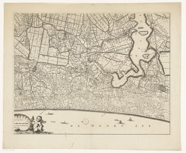
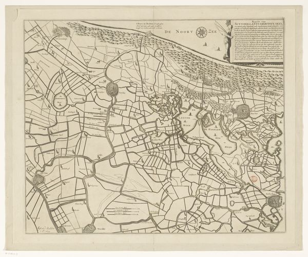
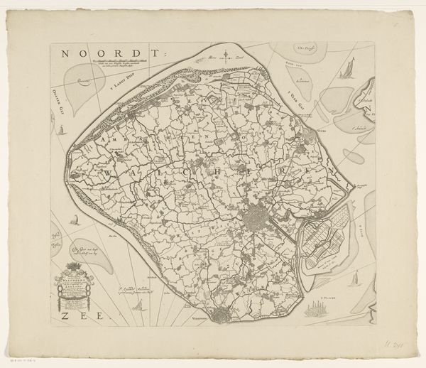
Kaart van Haarlem en omstreken en een gedeelte van de provincie Noord-Holland en een stuk van de Noordzee 1680 - 1811
0:00
0:00
coenraetdecker
Rijksmuseum
print, engraving
#
baroque
# print
#
landscape
#
engraving
Dimensions: height 439 mm, width 580 mm
Copyright: Rijks Museum: Open Domain
Editor: This is "Kaart van Haarlem en omstreken en een gedeelte van de provincie Noord-Holland en een stuk van de Noordzee," a print created by Coenraet Decker between 1680 and 1811. It depicts a landscape, a baroque styled engraving, showing Haarlem and surrounding areas, and part of the North Sea. What strikes me most is how the landscape seems to dominate the scene, almost swallowing the sea. What do you see in this piece? Curator: Well, first notice how water dominates the space – from the ‘Noort Zee’ at the bottom, with ships upon it. Notice the lines and patterns etched to suggest water currents and wind. How do those symbolic depictions make you feel? Do you feel the power of the sea? Consider its historical resonance. Editor: I get a sense of the vastness, like these tiny boats are fighting against a force of nature. The sea looks almost turbulent with the engravings. Curator: Precisely. This representation, while geographically informative, is also laden with cultural symbolism. Water here can represent change, the passage of time, the subconscious, or even chaos, depending on the reading. Also note that Haarlem is marked and boxed – does that carry meaning? Editor: I suppose so! A means to emphasize Haarlem as a crucial, and possibly controlled, epicenter amidst all this "natural" turmoil? Like it's both a part of, and separate from the world it inhabits. Curator: Exactly. Maps weren’t just navigational tools; they were declarations of dominion. How do those ships influence the meaning of this piece to you? Are they merchant vessels or warships? Editor: Hmm, they appear more for show, adding drama and a human presence to this otherwise somewhat severe mapping exercise. I didn't realize that a simple map could reveal such deep cultural ideas. Curator: Every mark carries memory and intent. Thinking of maps beyond their simple utilitarian role reveals historical thoughtscapes, letting us interpret cultural anxieties of the age.
Comments
No comments
Be the first to comment and join the conversation on the ultimate creative platform.
More like this