drawing, print, ink, engraving
#
drawing
#
pen drawing
#
dutch-golden-age
# print
#
landscape
#
ink
#
engraving
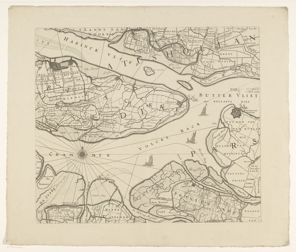
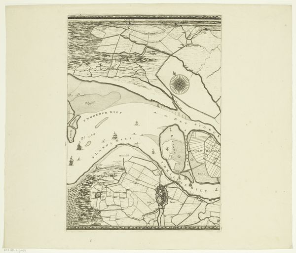
Dimensions: height 446 mm, width 581 mm
Copyright: Rijks Museum: Open Domain
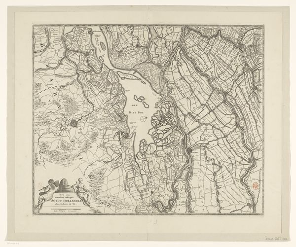
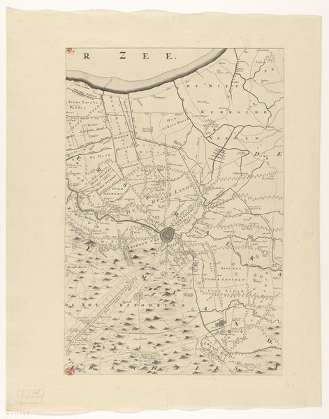
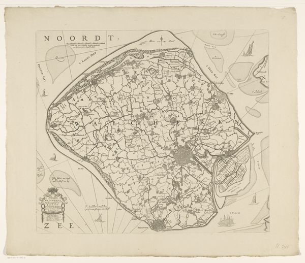
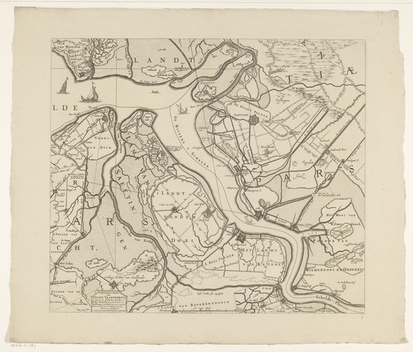
Curator: So, here we have "Kaart van Kennemerland en West-Friesland," created around 1680 by Coenraet Decker. It's part of a series of regional maps and manifests itself as a detailed engraving in ink. Quite something, isn't it? Editor: Immediately, I'm struck by the intricacy and the level of precision. It feels very ordered, almost clinical, yet also a little dreamlike, as if seen through a dusty pane of glass. A structured kind of nostalgia, perhaps? Curator: I find your sense of nostalgia particularly interesting given the context. These maps, especially during the Dutch Golden Age, represented control and understanding, really quite a bold claiming of space through line and lettering. Editor: True! But look closer; there's an underlying rhythm in how the land is divided, those rectilinear shapes. They’re balanced by the fluid lines of the waterways and coastline, creating a constant visual dialogue. And notice that tiny compass rose placed there—it's not just functional, it gives the piece a certain elegance. Curator: I hadn't considered it elegant, per se. However, I do see it as incredibly demonstrative of the era's focus on empirical observation meeting burgeoning trade. This isn't just pretty—it's powerful information packaged for navigation and dominion. Editor: Precisely. What fascinates me is that, though factual, the artist’s hand infuses this with personality. Look at the quality of line—it’s confident but never rigid, allowing light to flow through, and the water details are beautifully rendered, making them appear almost animated! Curator: Agreed. There is an artistic spirit underlying the apparent practicality of it all, especially as it moves through generations as not only data, but artifact. What stories lie beneath the surface now! Editor: Definitely, so while the modern viewer might immediately classify this image as strictly cartographic, it transcends that label with elements of narrative intrigue—it’s a visual document hinting at myriad other invisible dimensions. And like a well-composed song, it leaves one wondering how to decipher the unwritten verses. Curator: Perfectly put!
Comments
No comments
Be the first to comment and join the conversation on the ultimate creative platform.
More like this