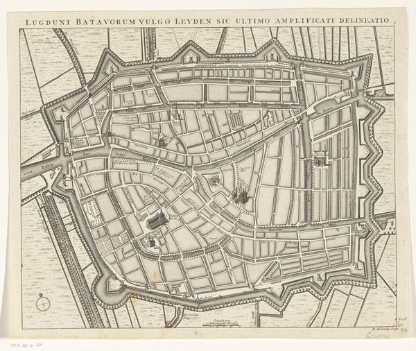
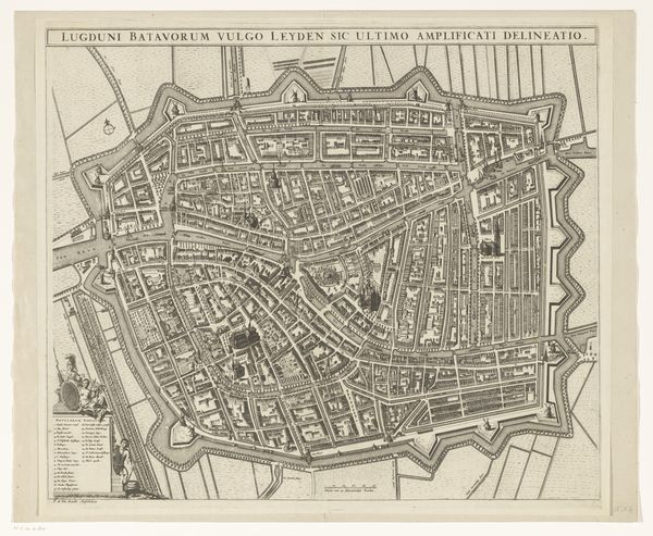
print, etching
dutch-golden-age
etching
etching
cityscape
history-painting
Dimensions: height 480 mm, width 607 mm
Copyright: Rijks Museum: Open Domain
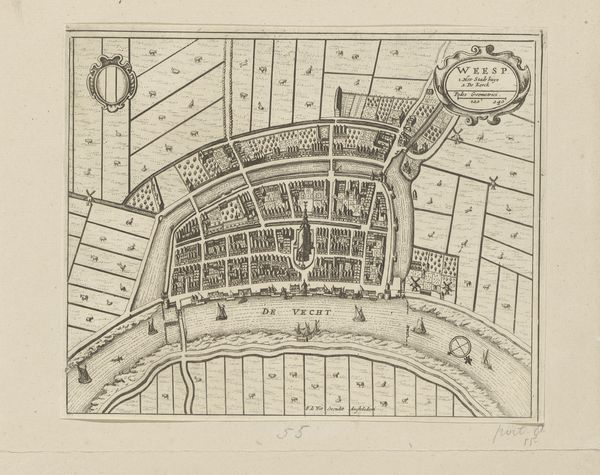
Editor: So, this is “Plattegrond van Leiden (deel rechtsboven),” an etching from after 1675, now at the Rijksmuseum. Looking at this section of Leiden, it seems so ordered and intentional, but also rigid, I'm wondering, what stories do you see in this city plan? Curator: This city plan speaks volumes about power, control, and societal structures of the Dutch Golden Age. Look at the precise delineation of the canals and fortifications. They are not just about defense or trade; they are visual statements of a society determined to maintain order, both internally and against external threats. Editor: How so? I see just a regular map. Curator: Think about the perspective. Who is this "for"? Elites or the commoners? Also, what isn't being shown here? The focus on infrastructure overshadows the daily lives of the people living there. Where are their voices? Whose narratives are missing in this seemingly objective representation? The Golden Age had great inequalities. Editor: I never thought about it that way. What looks like a functional map can really reveal what a society valued, and, perhaps more importantly, who it valued. Curator: Precisely. Art isn’t created in a vacuum, it reflects, reinforces, and sometimes even challenges the dominant ideologies of its time. Editor: It really is more than meets the eye, this map really provokes questions on the elites of that time and social order, even today. Thank you. Curator: My pleasure, this image reminds us that even seemingly neutral documents reflect a particular point of view and reveal deeper societal dynamics when critically examined.
Comments
No comments
Be the first to comment and join the conversation on the ultimate creative platform.