print, engraving
#
baroque
# print
#
geometric
#
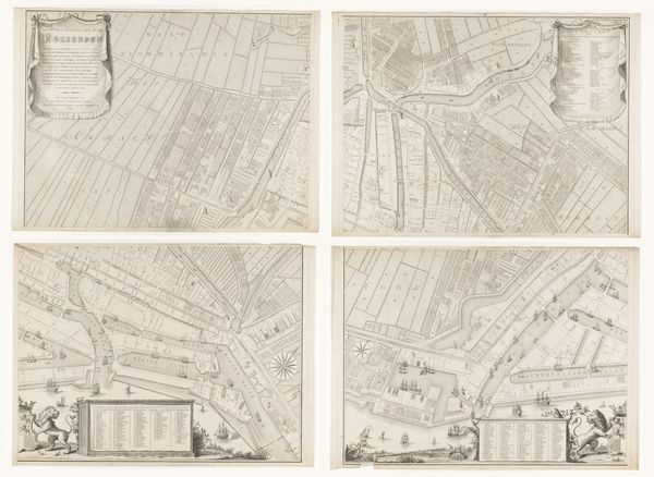
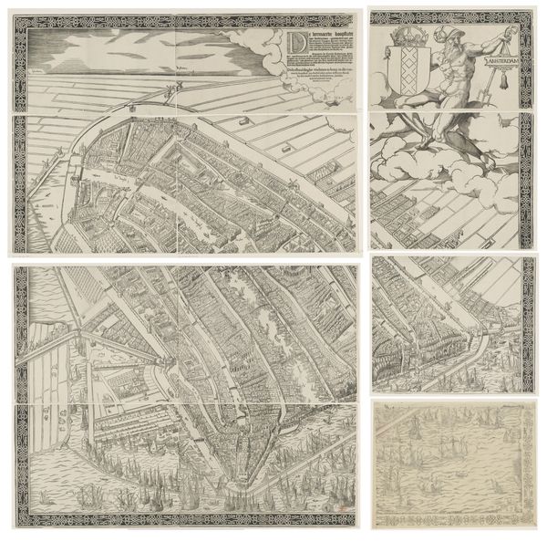
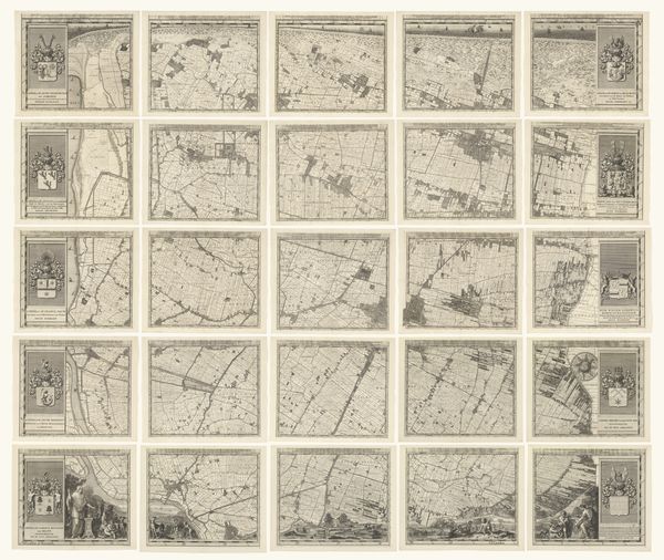
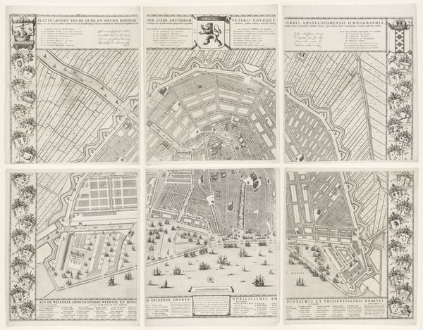
cityscape
#
engraving
Dimensions: height 1050 mm, width 1230 mm
Copyright: Rijks Museum: Open Domain
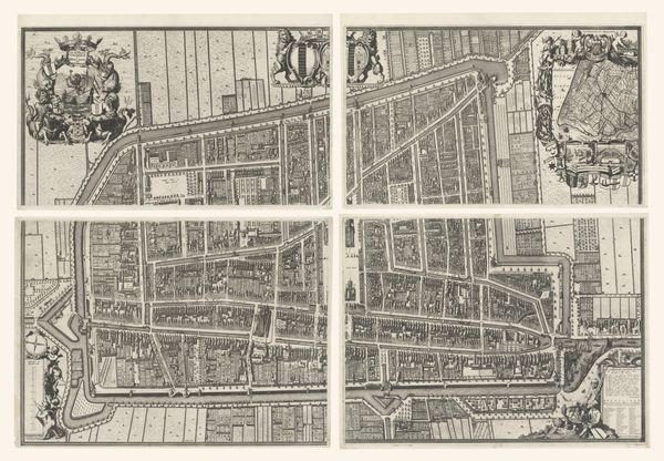
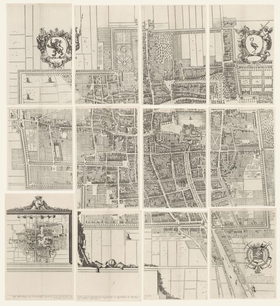
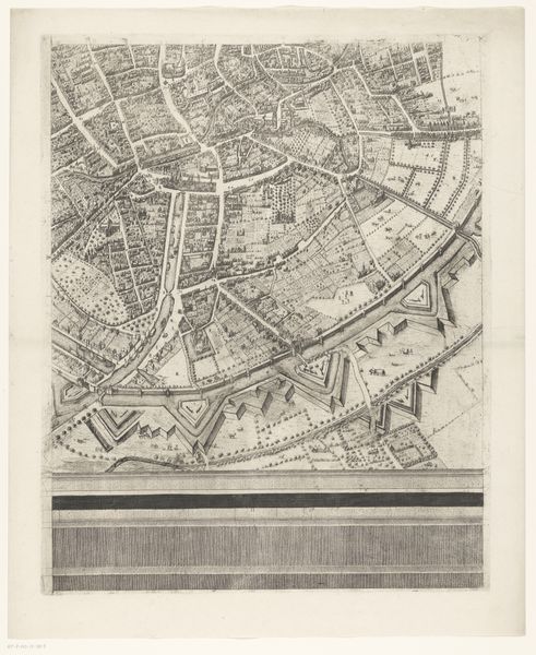
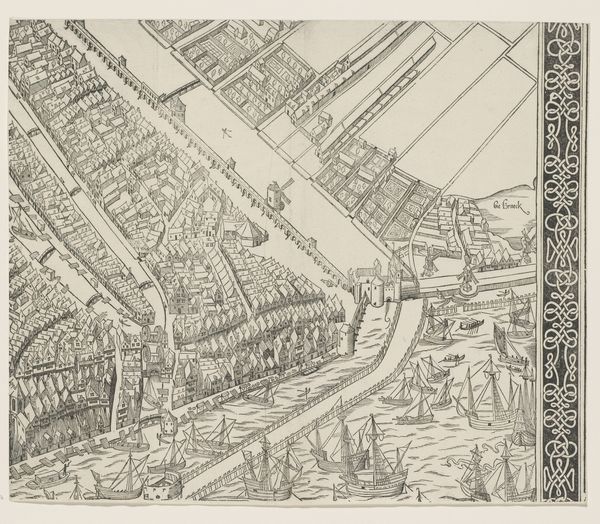
This is an anonymous, undated print from 1748 showing the city of Brussels. It is comprised of six sections and gives us insight into the city’s structure, infrastructure, and fortifications during a period of significant political and social change. This map is not just a geographical representation; it's a visual encoding of power and control. Look closely, and you'll notice how much emphasis is given to the city's defensive structures. In 1748, Brussels was under Austrian rule, part of the Austrian Netherlands. The detailed rendering of the fortifications reflects the strategic importance of the city and the ever-present threat of war. The institutions responsible for urban planning and defence are subtly celebrated through visual cues and cartographic techniques. Understanding this image requires us to look beyond its aesthetic qualities and delve into the socio-political context of the time. Historical archives, military records, and urban planning documents can help us uncover the intentions behind the map's creation and its role in shaping Brussels' identity.
Comments
No comments
Be the first to comment and join the conversation on the ultimate creative platform.
More like this