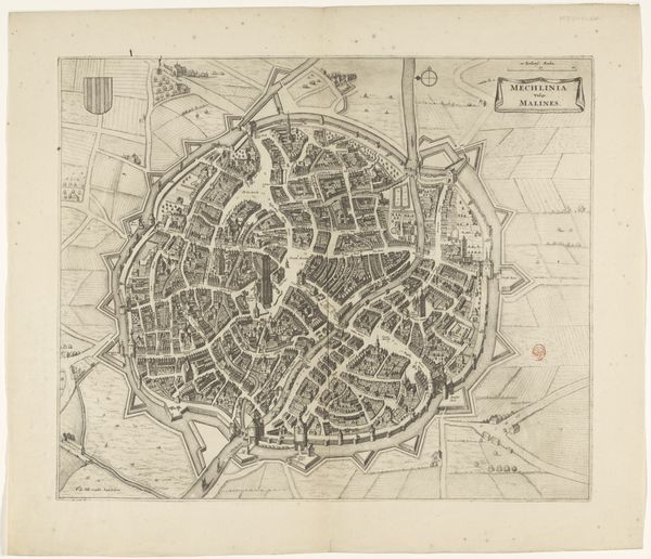
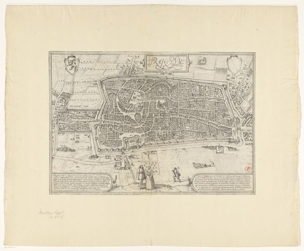
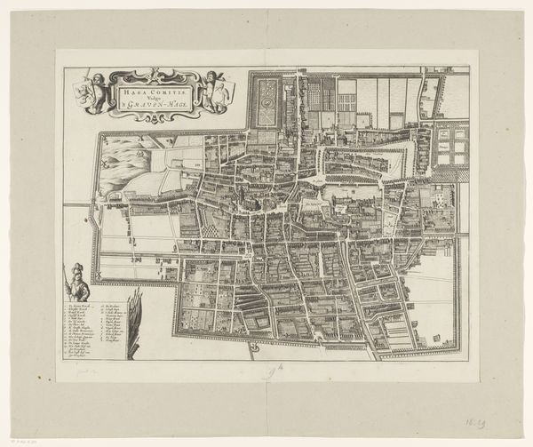
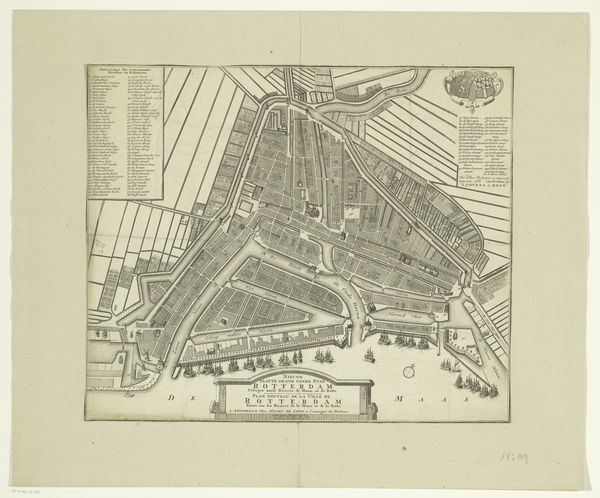
print, engraving
dutch-golden-age
geometric
cityscape
engraving
Dimensions: height 451 mm, width 544 mm
Copyright: Rijks Museum: Open Domain
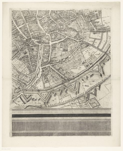
Editor: This is “Plattegrond van Edam,” a Dutch Golden Age engraving from around 1673 to 1704, housed at the Rijksmuseum. The detail is incredible. It feels like looking into a different world. What symbols and meanings can we uncover in this intricate city map? Curator: Indeed. Maps, far beyond their practical use, can serve as potent symbols of power, identity, and collective memory. This rendering of Edam offers a specific worldview, presenting the city in a structured, almost idealized manner. Editor: I noticed the coats-of-arms in the upper corners, and the little sailing ships… Were these common? What did they mean? Curator: The coats-of-arms signify the city's authority and identity. They are cultural anchors that help shape our emotional understanding. The ships speak of Edam’s maritime significance. These aren’t just decorations, but coded messages projecting civic pride. The layout is very orderly… Editor: It does look carefully planned. Did that reflect how the city actually was? Curator: Perhaps partly idealized, certainly. Notice how space is allocated, the clarity with which individual structures are depicted. The lines create divisions, but also connection through shared vision. Editor: I guess what I’m understanding is that even a seemingly straightforward map contains embedded narratives and a very intentional representation of reality. Curator: Exactly. A powerful tool to explore cultural values, societal hierarchies and to see the image as a carefully built construct, with symbols impacting the collective understanding and reinforcing shared values over time. Editor: I’ll never look at a map the same way again! Thanks!
Comments
No comments
Be the first to comment and join the conversation on the ultimate creative platform.