drawing, print, paper, ink, engraving
#
drawing
#
dutch-golden-age
# print
#
paper
#
ink line art
#
ink
#
cityscape
#
engraving
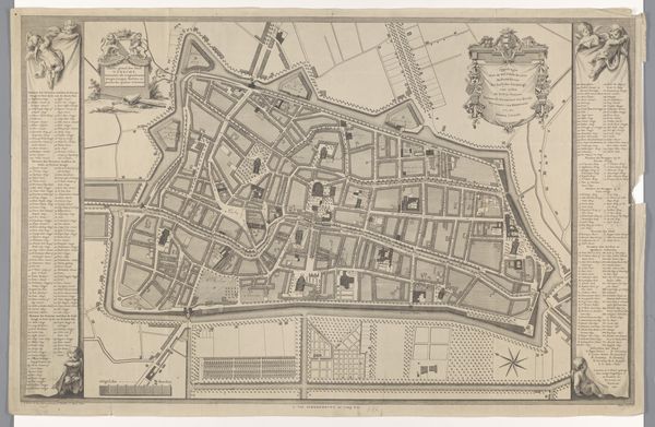
Dimensions: height 177 mm, width 276 mm
Copyright: Rijks Museum: Open Domain
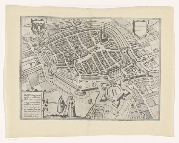
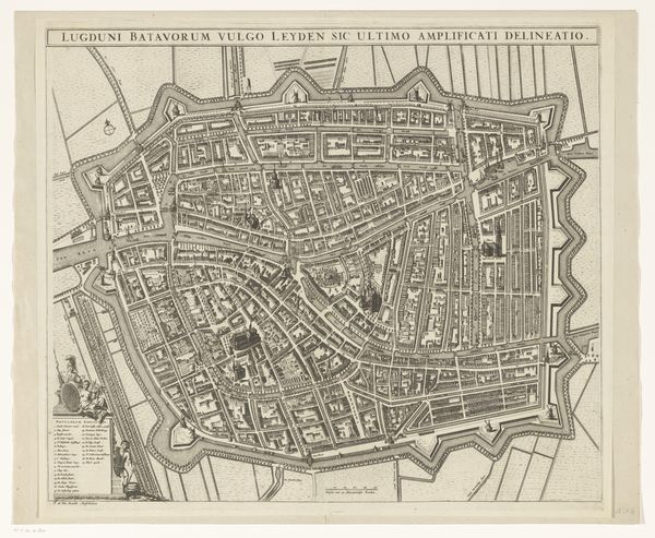
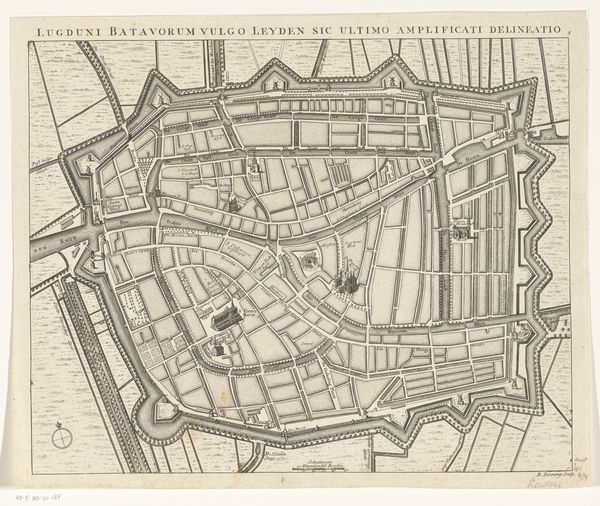
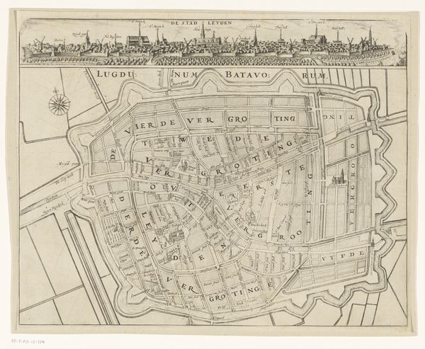
This is an anonymous map of the city of Utrecht, made with etching. The intricate network of lines immediately draws your eye, mapping out the city's streets, canals, and fortifications. Notice how the lines vary in thickness and density, creating a sense of depth and texture. The map presents a bird's-eye view, allowing us to survey the entire urban landscape at once. The map challenges our conventional understanding of space and representation. Rather than a purely objective depiction, it reflects the values and priorities of its time. The emphasis on fortifications, for instance, reveals concerns about defense and security, and the rigid structure of the grid-like street layout reflects the social engineering and urban planning ideals of the period. Ultimately, this map invites us to consider how we construct and interpret our surroundings, reminding us that every representation is shaped by cultural codes.
Comments
No comments
Be the first to comment and join the conversation on the ultimate creative platform.
More like this