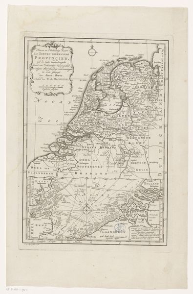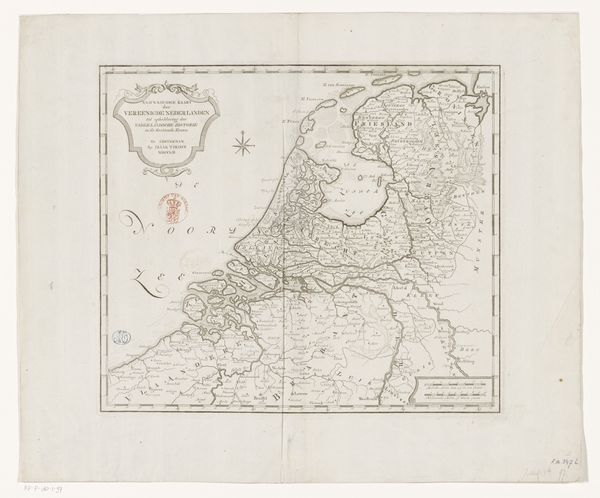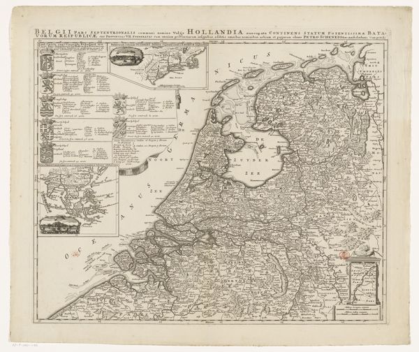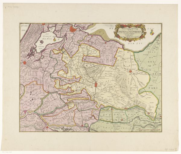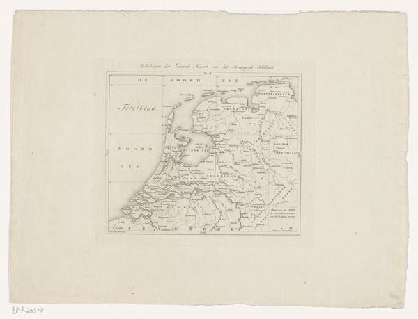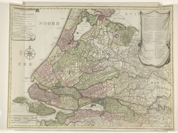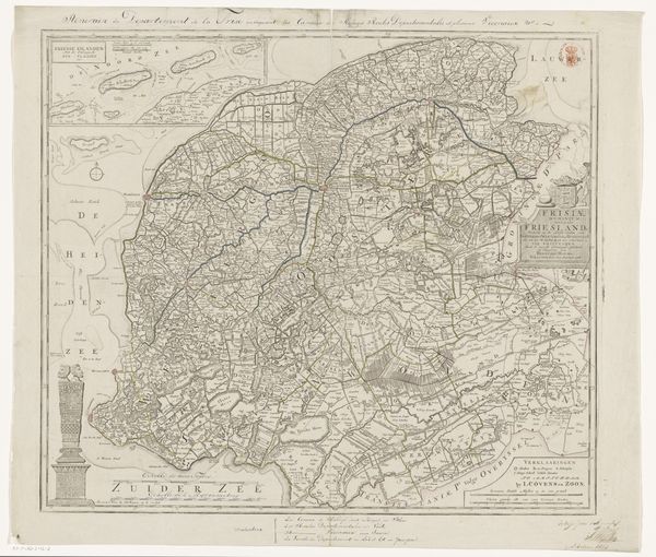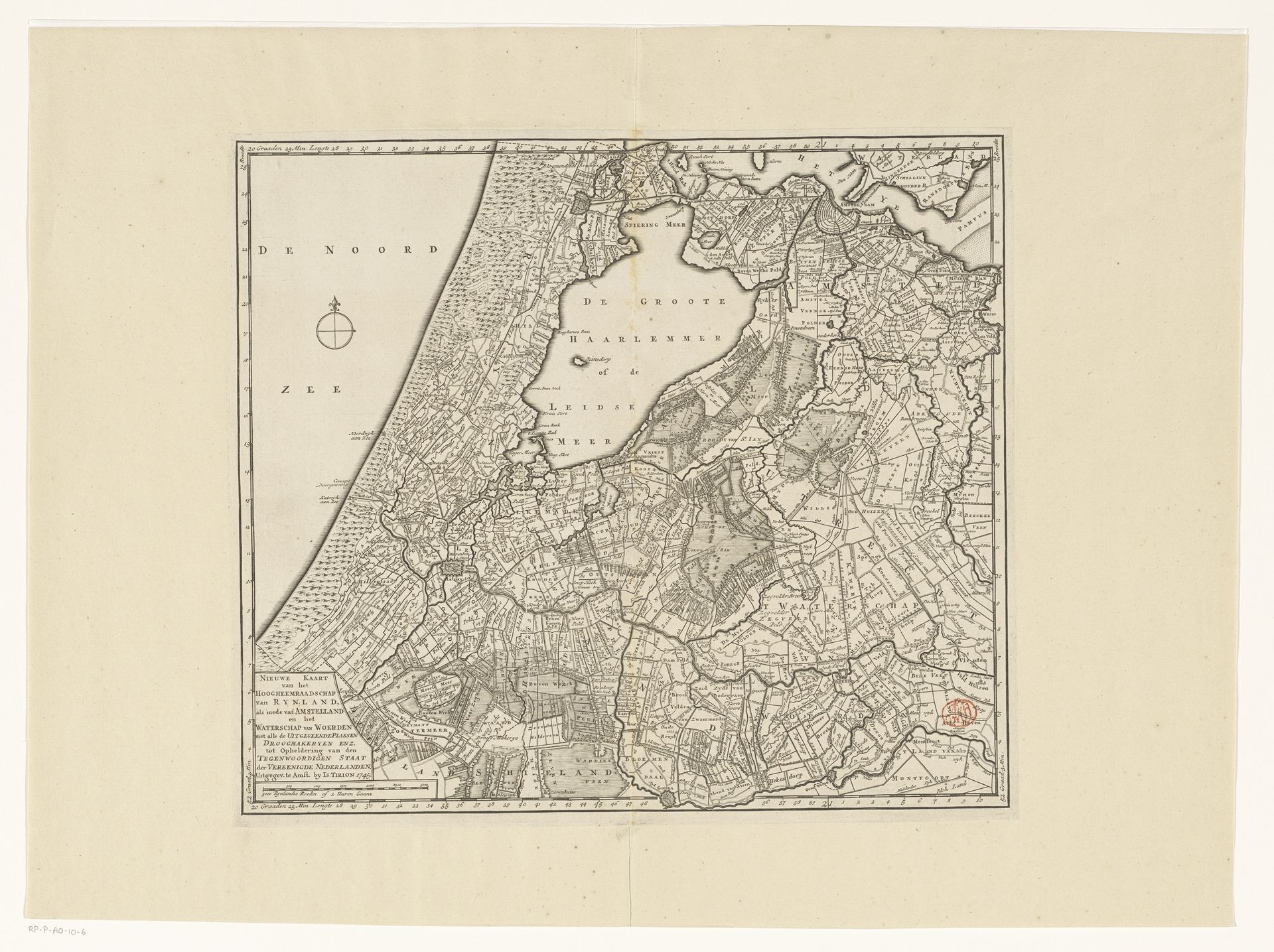
1745 - 1813
Kaart van Rijnland, Amstelland en het Waterschap van Woerden
Anonymous
@anonymousLocation
RijksmuseumListen to curator's interpretation
Curatorial notes
Curator: At first glance, it feels like looking at a detailed blueprint for a dream, or a very intricate board game. Editor: Exactly! We're looking at "Kaart van Rijnland, Amstelland en het Waterschap van Woerden," an engraving and print mapping the Rijnland region in the Netherlands. Its creation spans from 1745 to 1813. The anonymous artist created an astonishingly detailed depiction of not just the land but a system. Curator: The amount of detail is mesmerizing. It makes you think about the human effort in documenting every little plot of land, every waterway, every little house… Was it meant to show control? Editor: Undeniably, control is a key element. These maps weren't simply about geographical accuracy; they were instruments of power. Think about the historical context. The Dutch Republic was deeply invested in land management, especially water control, hence the “Waterschap van Woerden”. The visual articulation of that control has serious political implications for our contemporary lives as well. Curator: That's what's truly striking. Seeing this map, I imagine the farmers toiling in the fields, reliant on the precision promised in such cartography... Yet it's a promise imposed from above. You can really sense this tension, it gives a unique taste to the viewing experience. Editor: It's a complex image! It brings forward conversations about how land ownership and the environment interact with the people that depend on both of them. Looking at the little towns laid out so neatly on this map, I wonder about who it leaves out. What perspectives weren’t seen by whoever made this map? What about those without land or power? Curator: The act of framing land—imposing boundaries, declaring ownership—certainly carries that shadow of inequity. That makes the history embedded within this piece, like invisible ink on the page. For all its geometric neatness, you can feel the history, both planned and accidental, the drawing encompasses. It's hauntingly evocative, isn't it? Editor: Absolutely. This map reveals, conceals, and compels us to ask difficult questions about history, land and the legacies we carry. What a stark and telling history, carefully documented through the territory's geography.