drawing, print, paper, engraving
#
drawing
#
neoclacissism
#
ink paper printed
# print
#
old engraving style
#
landscape
#
paper
#
geometric
#
engraving
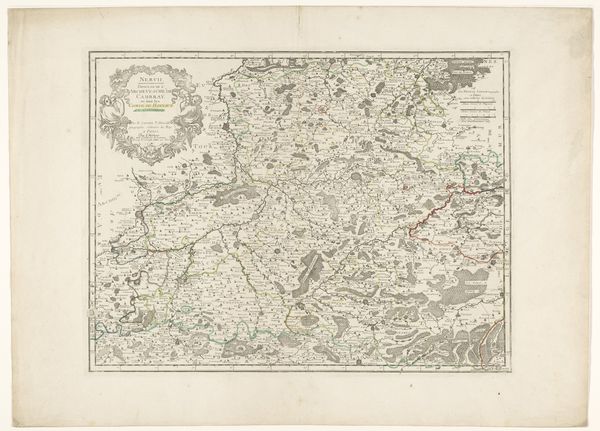
Dimensions: height 215 mm, width 255 mm
Copyright: Rijks Museum: Open Domain
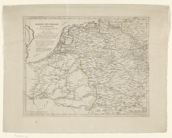
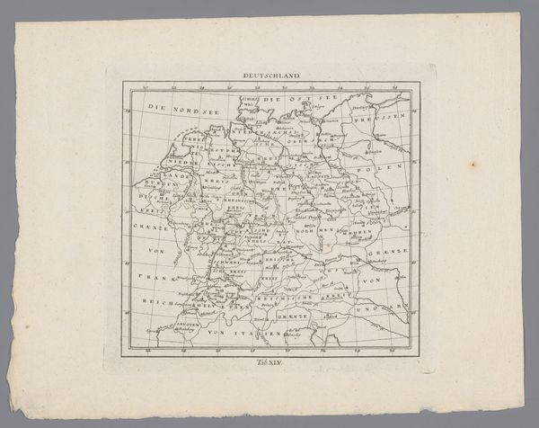
Editor: Here we have an engraving from 1808, entitled "Kaart van het Koninkrijk Holland," or "Map of the Kingdom of Holland," an anonymous piece rendered with ink on paper. The density of fine lines creating this image is remarkable. What formal qualities strike you most when you examine it? Curator: It is precisely that linearity and its manipulation to construct space that draws my attention. Observe how line weight and density are not merely representational, but also function as compositional tools, dictating the viewer's eye movement across the surface. The texture of the paper support provides a visual counterpoint to the precision of the engraved lines. Note the tension that exists between representation and pure visual form. Editor: I see what you mean. It's not just about the "map-ness," but how the lines *create* the map. I hadn't thought about the paper texture, though; I can imagine running my fingers over it. Are there philosophical frameworks you would apply here? Curator: We can consider Structuralism; in particular, how the formal elements of the map—lines, symbols, text—constitute a system of signs. These signs, through their relationships and differences, communicate meaning beyond the mere depiction of geographical space. Ask yourself, does the systematic organization of information become, in itself, an aesthetic statement? Editor: It's fascinating to think about it as more than just information; the *structure* is the art, not just the subject. Curator: Precisely. By prioritizing the internal logic and relationships within the artwork, we uncover layers of aesthetic intentionality. It asks us to engage in a deeper visual literacy. Editor: Thank you. I appreciate you prompting me to look at the map's structure in itself. It definitely offers a new perspective. Curator: Indeed, every element is purposeful. The act of viewing becomes an exercise in deciphering a meticulously constructed visual code.
Comments
No comments
Be the first to comment and join the conversation on the ultimate creative platform.
More like this