print, etching, engraving
#
baroque
#
ink paper printed
# print
#
etching
#
old engraving style
#
landscape
#
geometric
#
engraving
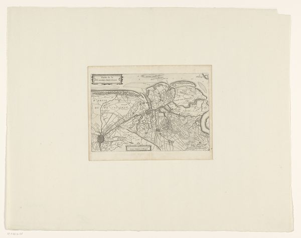
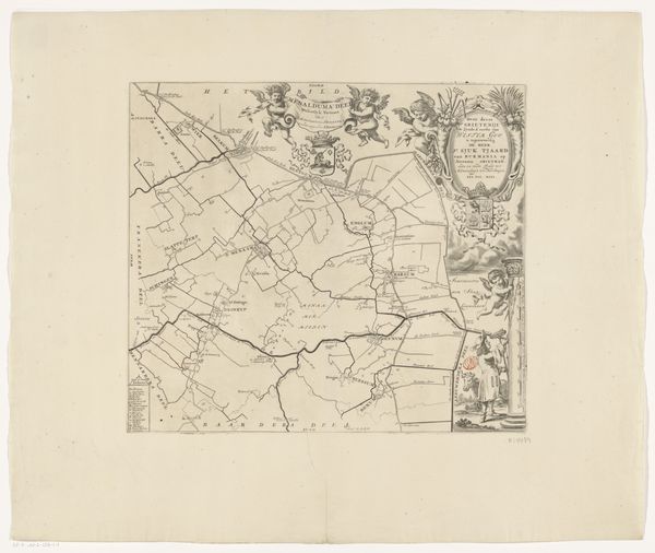
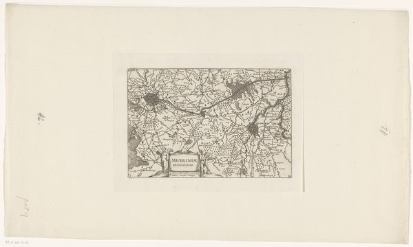
Dimensions: height 156 mm, width 237 mm
Copyright: Rijks Museum: Open Domain
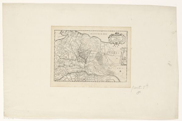
Editor: This is an intriguing map titled "Kaart van de Vier Ambachten," dating back to the late 17th century. It’s an etching on paper. The detail is incredible! It almost feels like looking at a coded document. What sociopolitical messages were mapmakers trying to convey? Curator: A fascinating question! Maps, even seemingly objective ones, are never neutral. This map offers us a glimpse into 17th-century power dynamics and understandings of space. Look at how meticulously the borders are drawn, defining territories. Who controlled these lands, and how did the act of mapping reinforce their power? Consider how landscape representation intersects with contemporary understanding of geography and cultural hegemony. Editor: So, you’re suggesting we think about it as a form of control, not just information? Curator: Precisely! Consider the concept of “terra nullius,” where lands were declared empty to justify colonial claims. How might this map have functioned to legitimize specific territorial claims or project power? Even the level of detail given to certain areas versus others reveals biases and priorities. How do you see it reflecting early forms of resource control? Editor: That makes me wonder about what isn't shown on the map, the stories that are being left out. Is it possible that only those who were benefiting from those controlled resources would commission such a document? Curator: Absolutely. Thinking about the absences – what is strategically left out, and whose perspectives are silenced – is key to deconstructing the map's intended meaning. We should explore these narratives to gain a comprehensive view of the past. Maps were also objects of desire and ways to showcase one's access to "knowledge" Editor: I hadn't considered the ways maps functioned as tools and indicators of social power back then. Thanks, I'm starting to understand this artwork a little better now. Curator: It’s an ongoing process of questioning and uncovering. Art can act as a point of entry into complex sociopolitical realities.
Comments
No comments
Be the first to comment and join the conversation on the ultimate creative platform.
More like this