graphic-art, print, engraving
graphic-art
dutch-golden-age
old engraving style
etching
geometric
engraving
Dimensions: height 375 mm, width 430 mm
Copyright: Rijks Museum: Open Domain
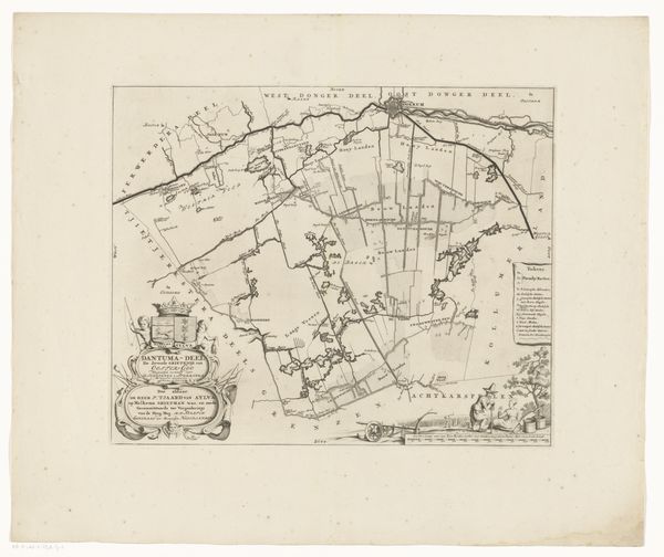
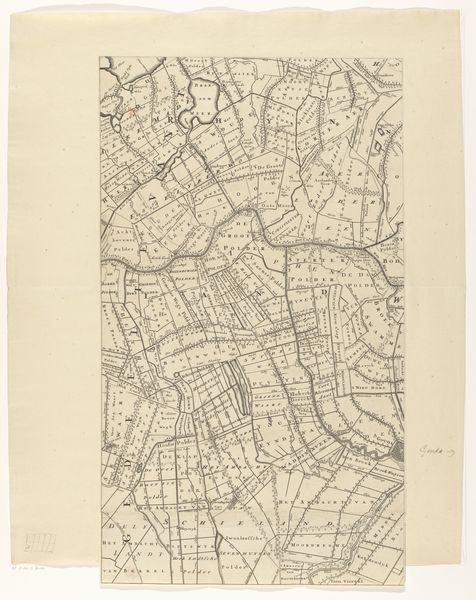
This is an undated map of Menaldumadeel, created anonymously with pen and ink. In the early modern period, cartography was less a neutral science than a tool of statecraft and commerce. Maps laid claim to territory, defined borders, and facilitated trade and the imposition of taxes. The map depicts Menaldumadeel, a region in the northern Netherlands. The Netherlands were a major economic power at this time, and the Dutch East India Company was extending its reach across the globe. Here, we see the beginnings of the kind of institutional infrastructure that made such expansion possible. Note how the map is ornamented with cherubs and heraldic symbols, indicating civic pride and an appeal to divine authority. Historians consult maps alongside other archival documents to understand the social, economic, and political conditions of the past. They reveal how societies understood themselves in relation to space, power, and the wider world.
Comments
No comments
Be the first to comment and join the conversation on the ultimate creative platform.