print, engraving
#
dutch-golden-age
# print
#
pen sketch
#
geometric
#
engraving
Dimensions: height 466 mm, width 536 mm
Copyright: Rijks Museum: Open Domain
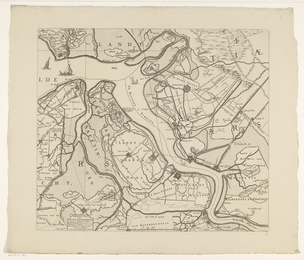
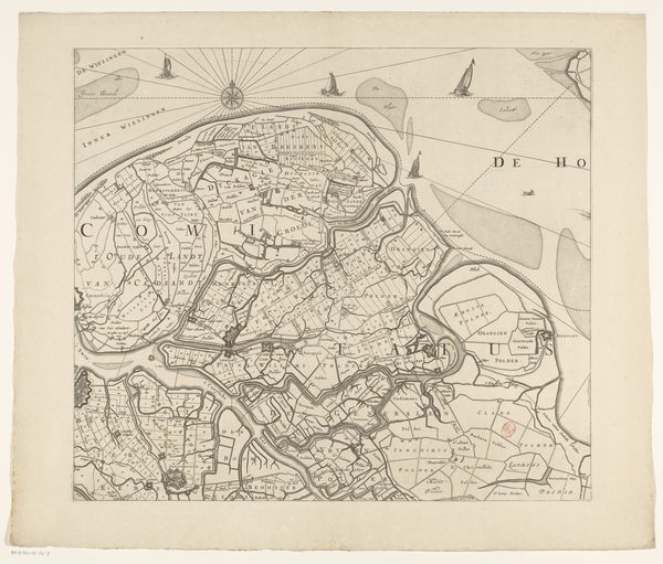
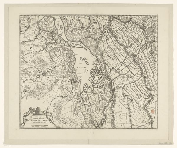
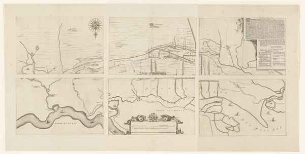
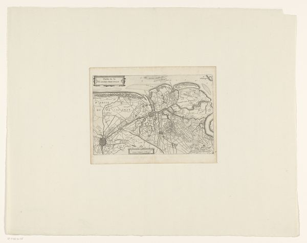
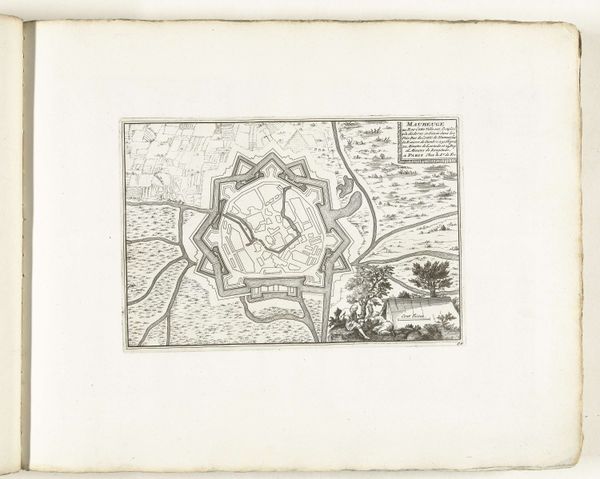
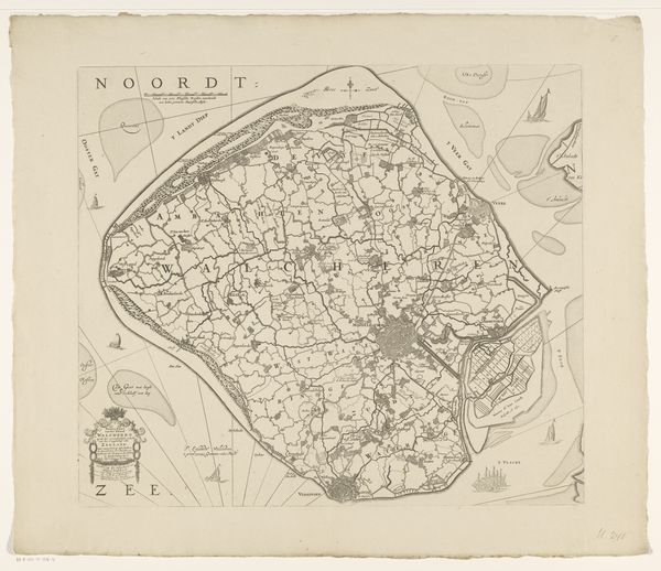
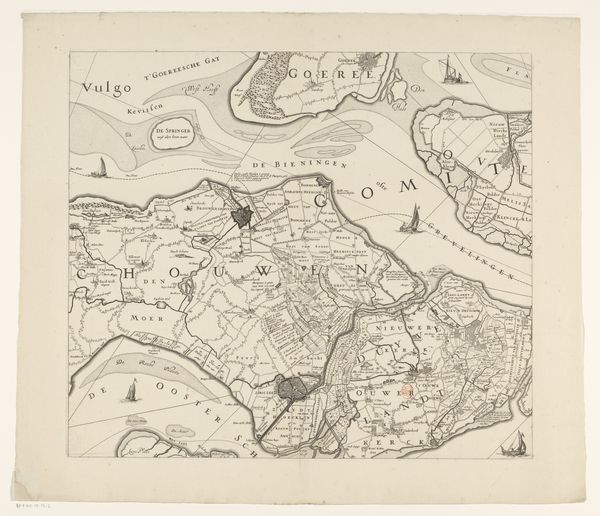
This is the third section of a map of Zeeland, produced anonymously in the Netherlands. We can look at maps as a representation of power. Cartography became highly developed in the Netherlands during its Golden Age, when the country was a major maritime power. Looking at this map, we can consider the relationship between the Dutch mastery of the seas and its artistic and scientific achievements. What social conditions made this possible? The Netherlands had a large merchant class and a relatively democratic political system, at least compared to other European countries at the time. This map has a visual code. We can interpret the image using archives and other historical documents to understand its specific cultural and political context. The history of cartography is the history of trade and colonial expansion.
Comments
No comments
Be the first to comment and join the conversation on the ultimate creative platform.
More like this