drawing, print, etching, paper, ink
#
drawing
#
dutch-golden-age
# print
#
etching
#
landscape
#
etching
#
paper
#
ink
#
geometric
#
cityscape
Dimensions: height 449 mm, width 578 mm
Copyright: Rijks Museum: Open Domain
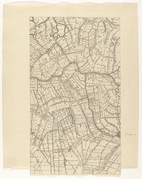
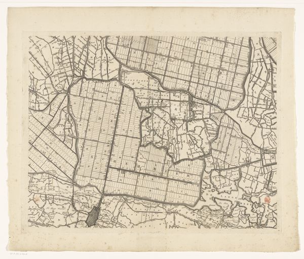
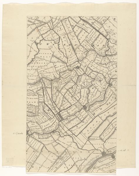
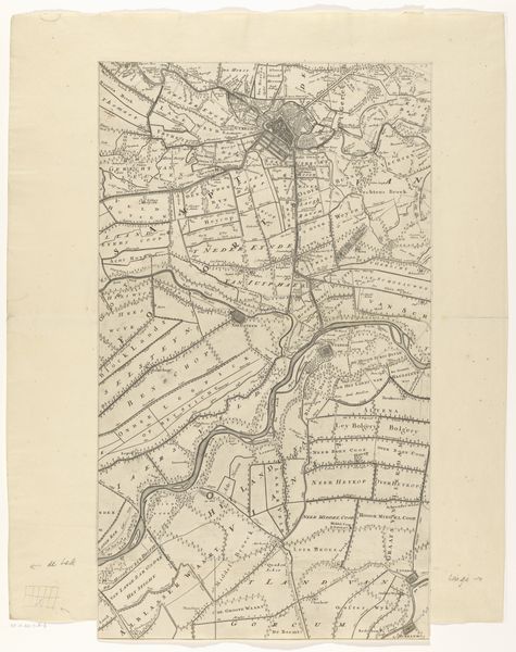
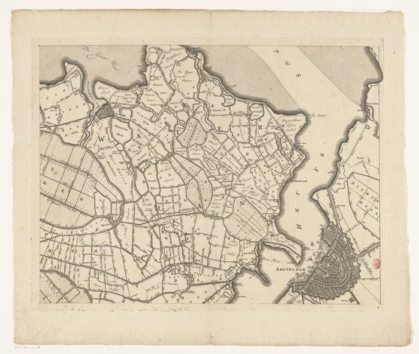
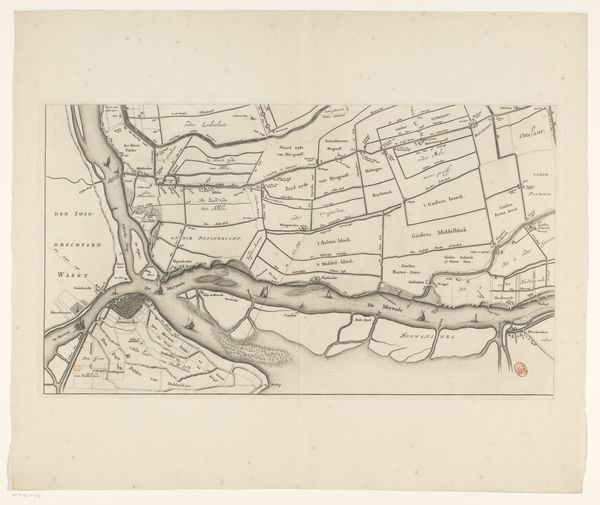
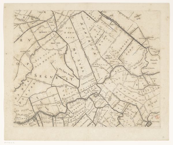
Coenraet Decker etched this map of Kennemerland and West-Friesland in the late 17th century. The grid-like structure of fields and waterways immediately strikes the eye, each line and division speaking to humanity’s attempt to order and control nature. This ordering echoes ancient Roman land surveys, reappearing throughout the medieval period and the Renaissance in depictions of ideal cities. The impulse to map and divide, to impose a rational structure, reveals a deep-seated psychological need to manage the chaos of the natural world. Consider how this grid contrasts with the fluid, unpredictable nature of water, a tension felt even today as we try to define and control our environments. This tension is a constant dialogue between humanity and nature, an ongoing quest for balance reflected in the symbolic language of maps across centuries.
Comments
No comments
Be the first to comment and join the conversation on the ultimate creative platform.
More like this