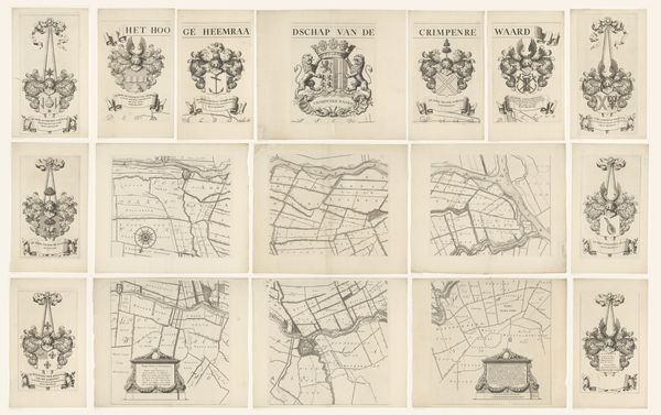
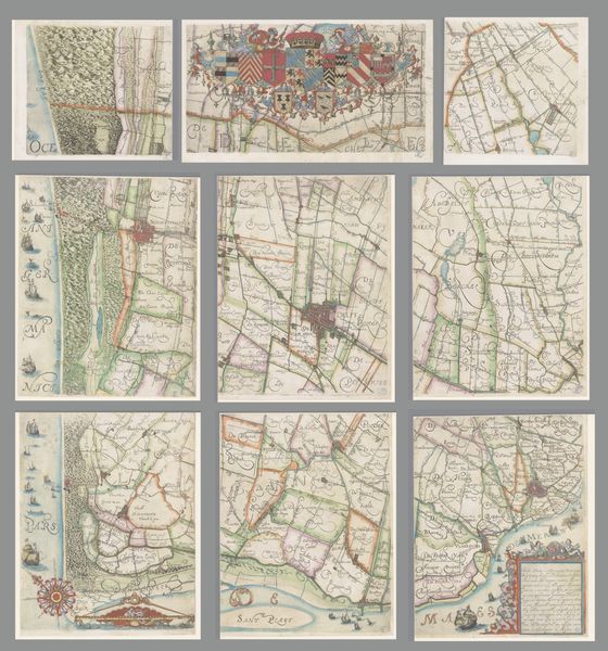
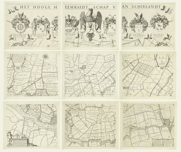
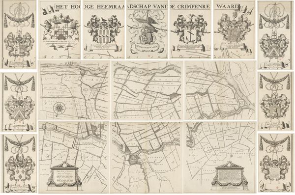
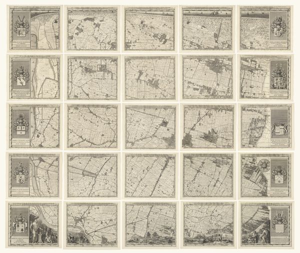
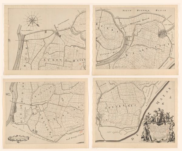
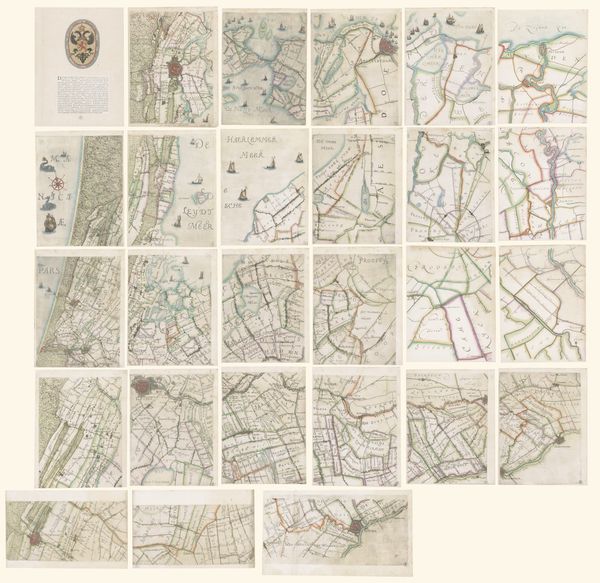
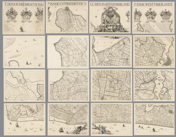
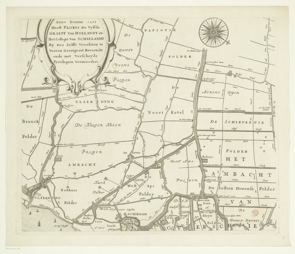
Kaart van het Hoogheemraadschap van Woerden, bestaande uit negen delen 1670 - 1684
0:00
0:00
drawing, print, etching
#
drawing
#
map drawing
#
baroque
#
dutch-golden-age
# print
#
etching
#
landscape
#
etching
Dimensions: height 1232 mm, width 1539 mm
Copyright: Rijks Museum: Open Domain
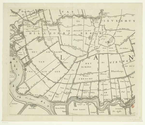
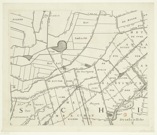
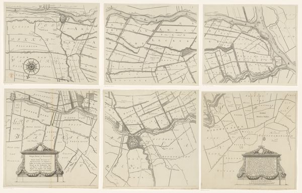
Justus Vinckboons created this nine-part map of the Hoogheemraadschap of Woerden, but the date of its creation remains unknown. Woerden was strategically significant during the Dutch Republic, serving as a border town between various political and religious factions. Cartography during this period was not merely about geographical accuracy; it was deeply intertwined with power, identity, and control. The detailed depiction of the region speaks to the economic and political interests invested in the land. We see how land ownership and administration were visualized and asserted. In the historical context of the Dutch Republic, maps like these played a role in shaping regional identities and solidifying administrative control. The Hoogheemraadschap, responsible for water management, held significant authority, reflecting the ongoing struggle against the sea that defined much of Dutch history and identity. Reflecting on this map, we see not just a physical space but a representation of social and political structures. The lines and boundaries drawn here remind us that maps are never neutral; they are always products of specific perspectives and agendas.
Comments
No comments
Be the first to comment and join the conversation on the ultimate creative platform.
More like this