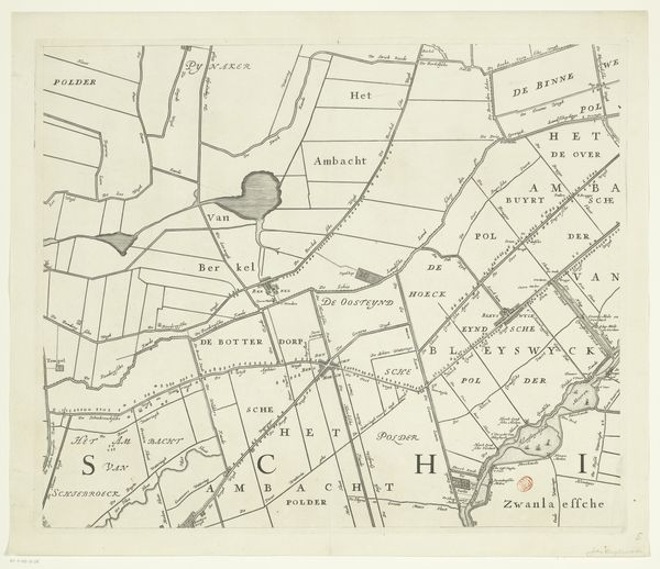
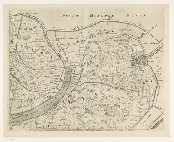
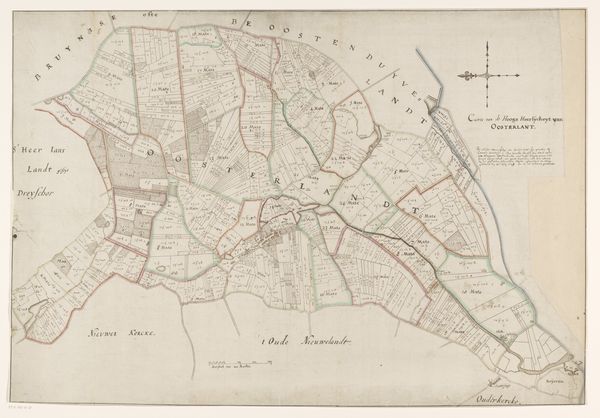
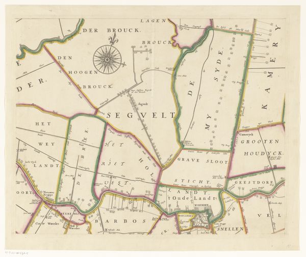
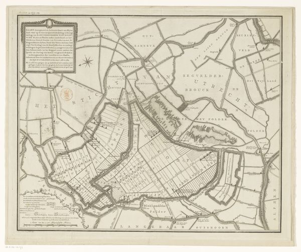
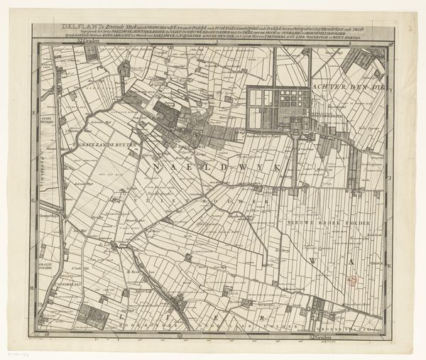
Kaart van het Hoogheemraadschap van Schieland (achtste deel) 1684 - 1718
0:00
0:00
johannesvinckboons
Rijksmuseum
drawing, print, etching, paper, ink
#
pen and ink
#
drawing
#
medieval
#
dutch-golden-age
# print
#
pen illustration
#
etching
#
old engraving style
#
landscape
#
etching
#
paper
#
ink
#
geometric
Dimensions: height 500 mm, width 599 mm
Copyright: Rijks Museum: Open Domain
Curator: This sprawling print before us offers a glimpse into 17th-century Dutch landscape engineering. It is “Kaart van het Hoogheemraadschap van Schieland (achtste deel),” or Map of the Schieland District Water Control Board, dating from 1684 to 1718, crafted with pen, ink, and etching. The mapmaker? Johannes Vinckboons. Editor: The immediate impression is one of meticulous order. An aerial view, divided geometrically into distinct parcels. Each bearing Dutch text like “Polder.” I wonder about the communities mapped here and the historical currents impacting those boundaries. Curator: Maps, particularly from this era, do more than chart physical space. They express power, ownership, and a deep connection to the land. We see this meticulous ordering mirroring the Dutch mastery of water management during the Golden Age. It becomes a symbolic representation of control and prosperity. Editor: Exactly. It’s crucial to remember the colonial context. Resources extracted from colonized lands often funded and enabled projects such as water control represented here, while this “control” resulted in a deep legacy of environmental disruption and displacement. I wonder whose voices are excluded from this vision? Curator: Consider how each named "polder" or plot can represent generations of labor and specific farming practices, holding their unique narrative significance to local Dutch inhabitants, for whom it symbolized not colonial exploitation, but reclaimed space. Look too, for spiritual significance in these images of land management. Editor: That's a crucial point about the cultural value—we cannot read the colonial frame without remembering it reflects also an intersectional reality of deeply valued cultural resources. How does landownership shape one's identity when your landscape is always potentially reconfigured by larger powers? I suspect the emotional resonance of these meticulously defined parcels touches upon themes of belonging, of legacy. Curator: And what, beyond these very local place names, do we recognize or know that still lingers as collective knowledge from that time? Do our street layouts preserve something from those carefully plotted parcels, offering continuity with the distant past? The visual and geographic legacies stay embedded. Editor: That’s what makes this kind of map, ostensibly a document of precise topography, such an emotive artifact, because these visual and territorial representations are never innocent; they're embedded within power relations and evolving identities. Curator: Indeed. The power of images! Editor: It gives us so much to contemplate, even now.
Comments
No comments
Be the first to comment and join the conversation on the ultimate creative platform.
More like this