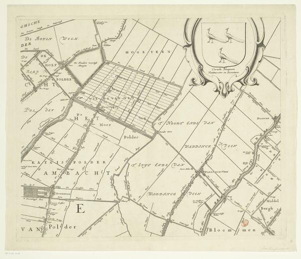
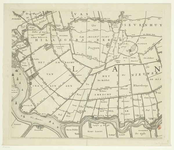
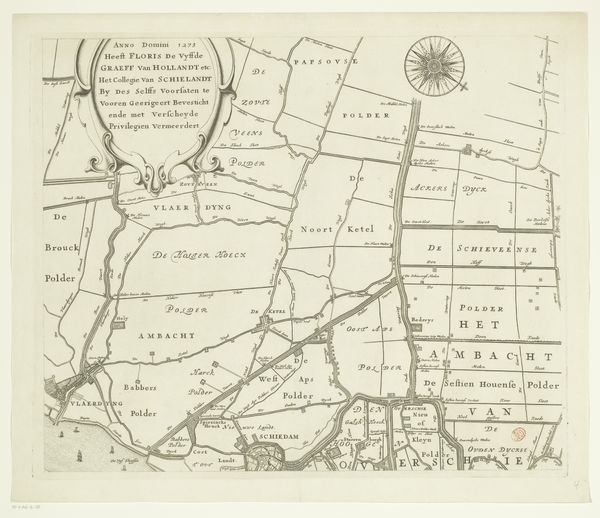
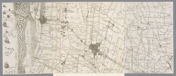
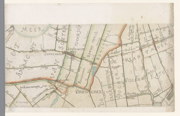
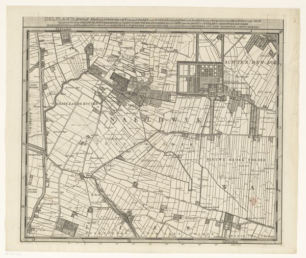
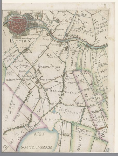
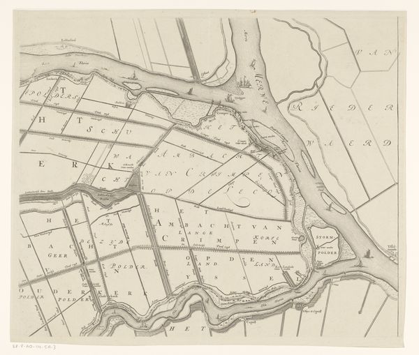
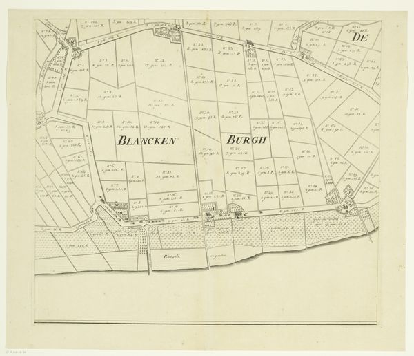
Kaart van het Hoogheemraadschap van Schieland (vijfde deel) 1684 - 1718
0:00
0:00
johannesvinckboons
Rijksmuseum
drawing, print, paper, ink, engraving
#
pen and ink
#
drawing
#
dutch-golden-age
# print
#
old engraving style
#
landscape
#
paper
#
ink
#
geometric
#
engraving
Dimensions: height 498 mm, width 595 mm
Copyright: Rijks Museum: Open Domain
Johannes Vinckboons created this section of the "Map of the Polder Board of Schieland" in the mid-17th century. It reflects a society grappling with land, water, and control, charting not just geography but also human intervention. Consider how the map portrays the relationship between the Dutch and their environment, a struggle to reclaim and manage land. The detailed delineation of polders—land reclaimed from water—speaks to the period's economic ambitions. We can read the landscape as a stage for human activity, marked by boundaries, fields, and settlements. Vinckboons' map is more than just a practical tool; it's a mirror reflecting the values of a culture that sought to master its environment, a testament to the period's social and economic aspirations. This detailed rendering of the landscape evokes a sense of both control and vulnerability. It serves as a reminder of the constant negotiation between human ambition and the forces of nature.
Comments
No comments
Be the first to comment and join the conversation on the ultimate creative platform.
More like this