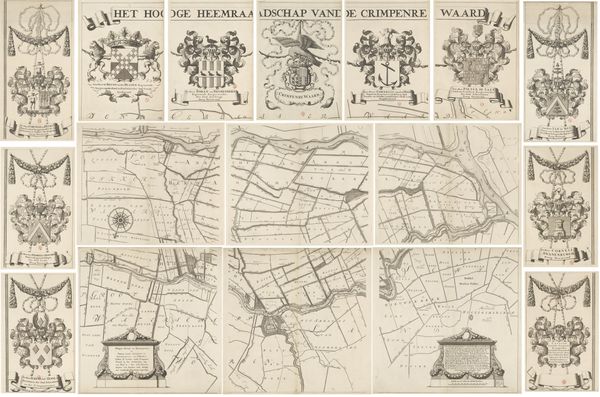
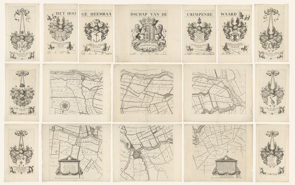
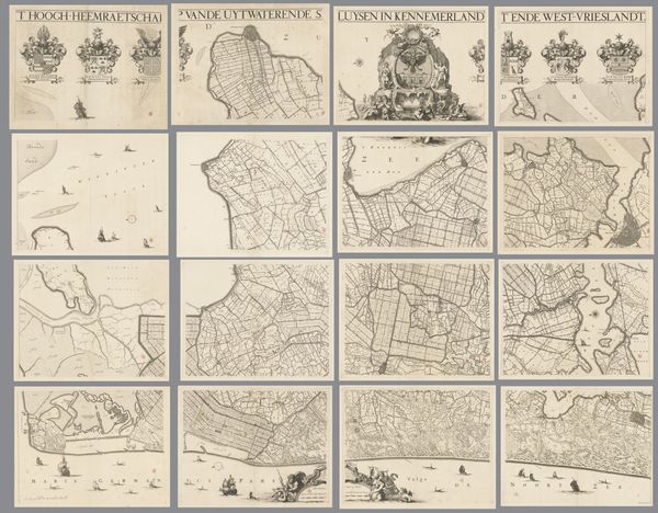
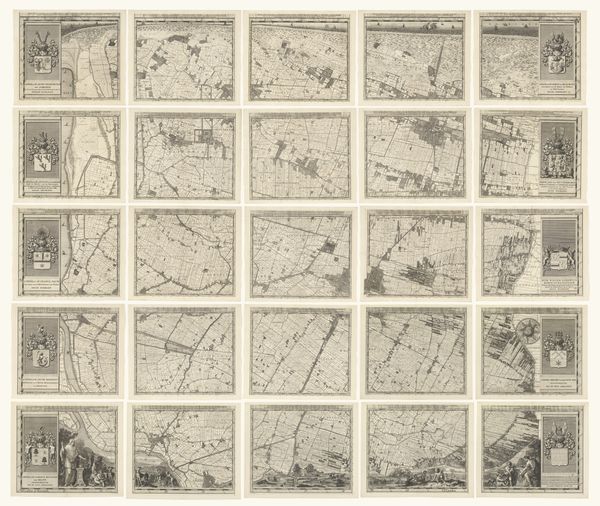
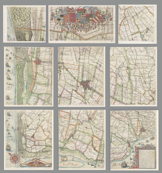
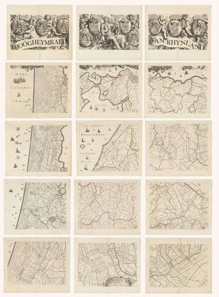
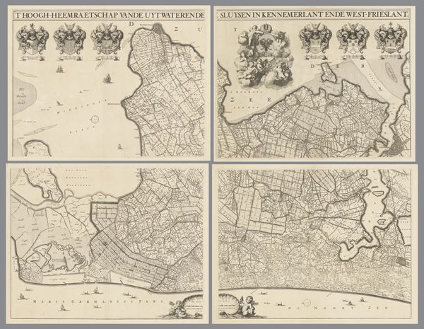
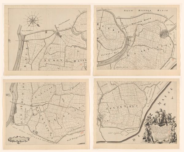
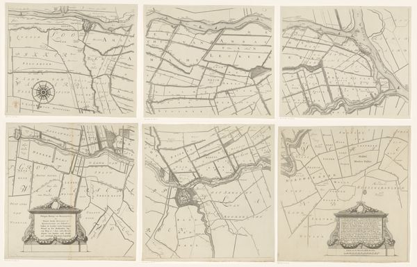
Kaart van het Hoogheemraadschap van Schieland, bestaande uit negen delen 1684 - 1718
0:00
0:00
johannesvinckboons
Rijksmuseum
print, engraving
#
dutch-golden-age
# print
#
pen sketch
#
landscape
#
geometric
#
engraving
Dimensions: height 1470 mm, width 1760 mm
Copyright: Rijks Museum: Open Domain
Curator: It’s intricate, like a puzzle only the land knows how to solve. Is that what I'm looking at? A meticulously drawn set of parchments hinting at something vast? Editor: You've hit upon the perfect imagery there. This is actually Johannes Vinckboons' "Kaart van het Hoogheemraadschap van Schieland, bestaande uit negen delen," created between 1684 and 1718. Essentially, it’s a map printed from engravings, depicting the Schieland district in the Netherlands, and what's immediately striking to me is how it visually represents power, land ownership and water control within a particular social context. Curator: Control... yes! The lines dividing everything into neat parcels—fields, surely? And are those waterways winding their way through? I see a world of levees and polders. A battle against the waters, documented, claimed! It feels so Dutch, somehow. Ironic how much taming it all demanded. Editor: Precisely. Schieland was (and is) a region particularly vulnerable to flooding. This map doesn’t just depict landscape. Look closely; it illustrates the hydro-engineering marvels of the time, revealing the intensive labor and innovative technologies required to maintain what’s called "order." Moreover, those heraldic crests, repeated across the top of each map division, these symbolize not just territory, but signify the authorities managing this vital hydraulic infrastructure. The coats of arms, those details are key in understanding the networks of governance and power invested in maintaining control over land and water. Curator: And yet, I can’t help but feel this tension too. There’s the human desire to mold the earth, to claim it, documented right beside the unyielding nature of things, water especially... constantly pressing. Are these prints testaments to our arrogance or our adaptability, do you think? Or maybe just something in between? Editor: Well, perhaps the truth lies precisely in that tension. It’s in those very divisions you noticed initially; lines not only separating properties, but, more crucially, representing systems that privilege certain landowners, and reinforce a certain power structure that’s historically relegated many others. Curator: The weight of such elegant lines, indeed! The artist knew it all along, surely! A map isn't only location; it is a declaration, both of belonging and... of its opposite. Editor: Yes, these archival materials preserve not only a geographical area, but social relations manifested geographically, prompting urgent conversations concerning power, sustainability, and environmental equity across diverse historical eras.
Comments
No comments
Be the first to comment and join the conversation on the ultimate creative platform.
More like this