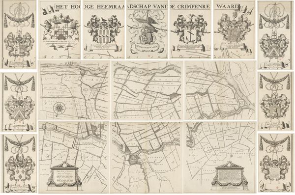
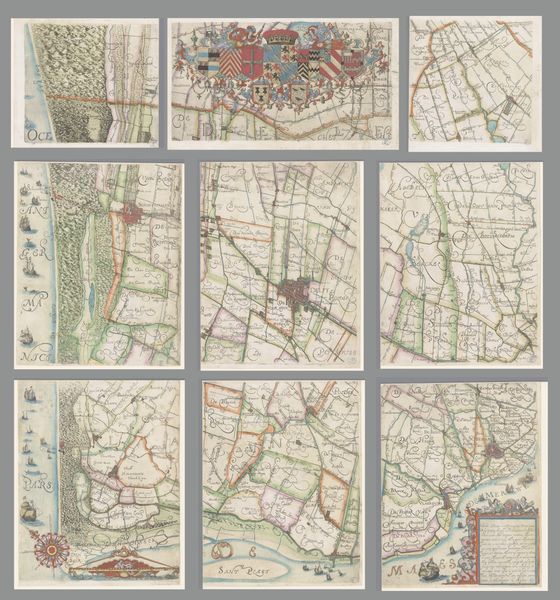
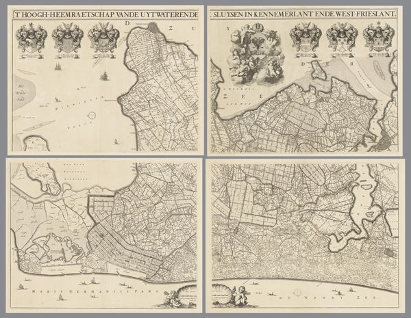
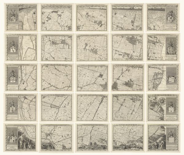
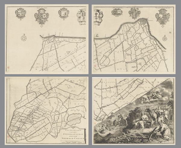
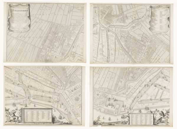
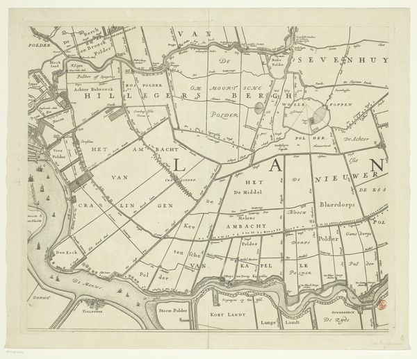
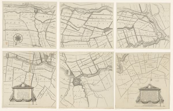
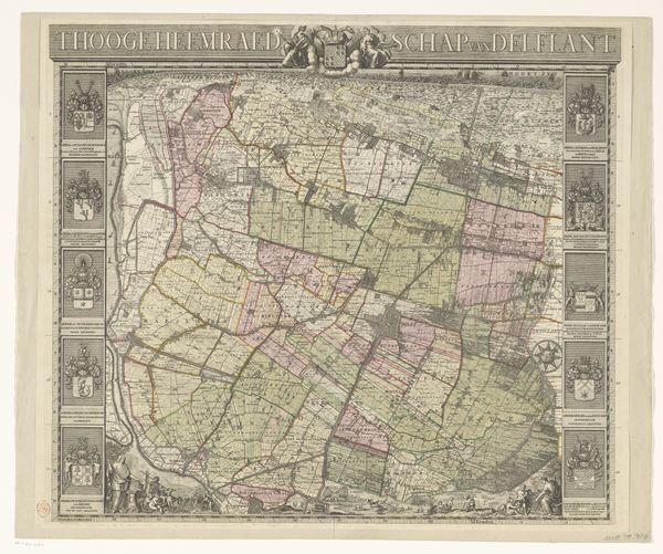
Kaart van het Hoogheemraadschap van de Krimpenerwaard, bestaande uit zeventien delen 1683 - 1741
0:00
0:00
johannesleupenius
Rijksmuseum
print, paper, engraving
#
dutch-golden-age
# print
#
pen sketch
#
landscape
#
paper
#
engraving
Dimensions: height 1402 mm, width 2036 mm
Copyright: Rijks Museum: Open Domain
This is a map of the Hoogheemraadschap van de Krimpenerwaard, made of seventeen parts, by Johannes Leupenius in the 17th century. It is an engraving, a printmaking technique in which lines are incised into a metal plate, which is then inked and pressed onto paper. This type of printmaking would have been extremely labor-intensive. Engraving requires considerable skill and precision. The quality of the line work and the fineness of the details suggests that Leupenius was highly trained. The map is also a feat of organization, since it comprises so many individual sheets. Beyond its aesthetic qualities, this map illuminates the social context in which it was produced. It reflects the growing importance of land management and infrastructure in the Netherlands during the Dutch Golden Age. It speaks to the close relationship between cartography, governance, and economic development. What might appear as just a set of lines on paper is in fact the result of deep engagement with materials, and the social and political forces that shaped the Dutch landscape.
Comments
No comments
Be the first to comment and join the conversation on the ultimate creative platform.
More like this