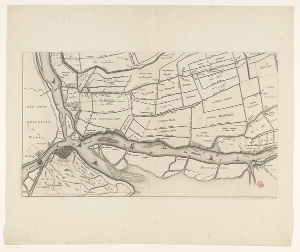
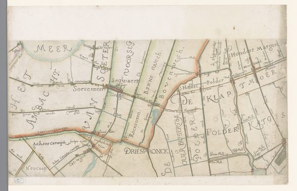
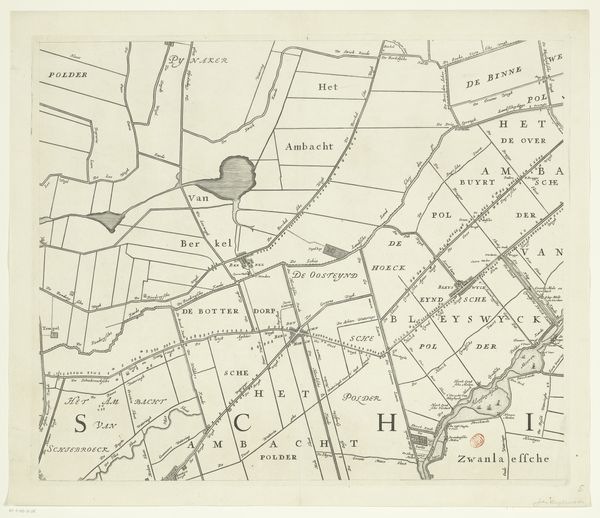
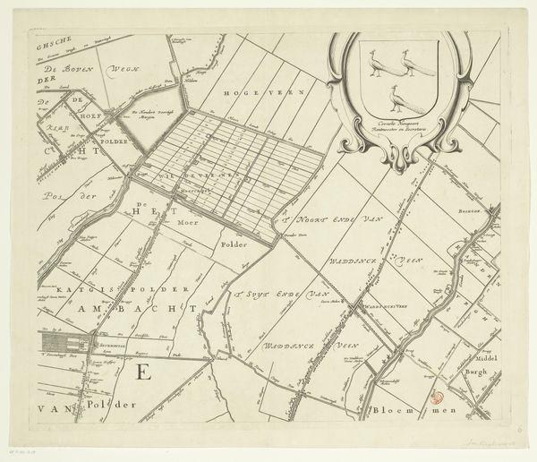
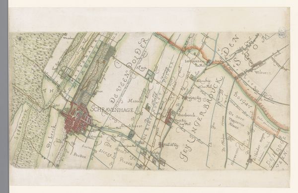
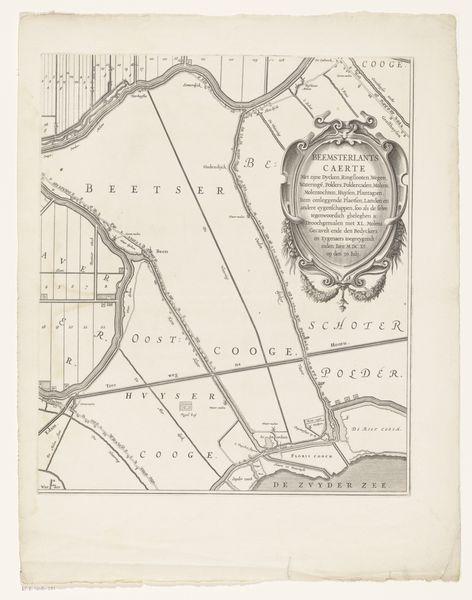
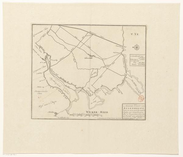
Kaart van het Hoogheemraadschap van Schieland (vierde deel) 1684 - 1718
0:00
0:00
johannesvinckboons
Rijksmuseum
graphic-art, print, etching, engraving
#
graphic-art
#
dutch-golden-age
# print
#
etching
#
landscape
#
etching
#
geometric
#
line
#
engraving
Dimensions: height 500 mm, width 597 mm
Copyright: Rijks Museum: Open Domain
Johannes Vinckboons created this detailed map of the Hoogheemraadschap of Schieland, a region in the Netherlands, sometime between 1617 and 1670 using ink on paper. The map's precision is striking, achieved with drafting tools and specialized knowledge of the region's topography and administrative divisions. Notice the delicate lines defining the waterways, polders, and administrative boundaries. The act of mapping itself was an assertion of control, reflecting the economic and political power of the Dutch Republic during its Golden Age. Maps like these were not just informational, they were tools of governance, shaping land use and resource management. Creating such detailed works involved the labor of surveyors, draftsmen, and engravers, all contributing to a complex system of production tied to social and political structures. By examining the materials and the process of its making, we can see this map as more than just a geographical document; it is a reflection of the ambition, expertise, and socio-political forces that shaped the Dutch landscape.
Comments
No comments
Be the first to comment and join the conversation on the ultimate creative platform.
More like this