drawing, print, paper, ink
#
drawing
# print
#
landscape
#
paper
#
ink
#
geometric
#
map making
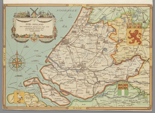
Dimensions: height 205 mm, width 294 mm
Copyright: Rijks Museum: Open Domain
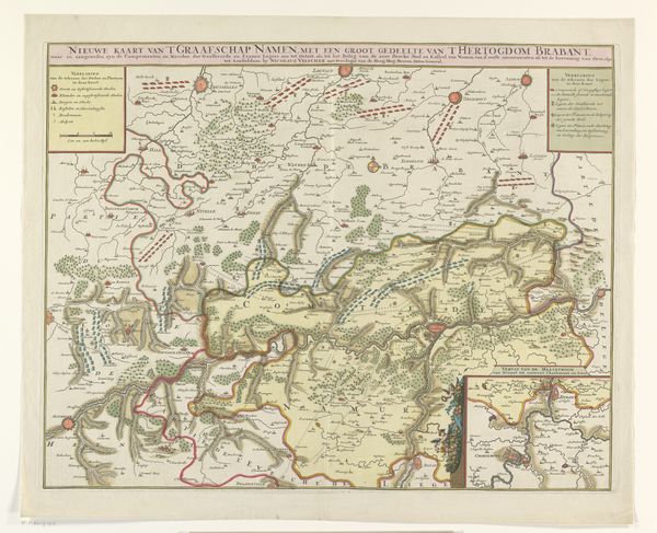
This is a map of Gelderland, made around 1940 by Studio Certo. The colors are muted, like an old memory. I’m drawn to the way the lines of the roads and rivers are laid down – precise, but with a kind of wobble that makes them feel hand-drawn. Look at the compass rose over on the left. It’s not just functional; it’s decorative, with these radiating lines like a sunburst. It’s like the mapmaker is saying, "Here's how you find your way, but also, isn't it beautiful?" The whole map has this quality, a tension between information and artistry. I’m reminded of the Bay Area Figurative painters like Richard Diebenkorn, who found ways to combine abstract mark-making with landscape. There’s a similar thing going on here, a real attention to detail but never losing sight of the bigger picture. It’s a useful reminder that even the most functional objects can be a site for art.
Comments
No comments
Be the first to comment and join the conversation on the ultimate creative platform.
More like this