graphic-art, painting, watercolor
#
graphic-art
#
dutch-golden-age
#
painting
#
landscape
#
watercolor
#
pen work
#
watercolour illustration
Dimensions: height 206 mm, width 295 mm
Copyright: Rijks Museum: Open Domain
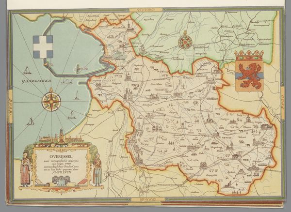
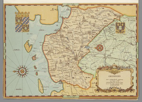
Studio Certo made this map of Zuid-Holland in 1940, and the rendering style, somewhere between graphic design and illustration, makes me think about all the decisions involved in representing a place. The muted colors and delicate linework evoke a sense of nostalgia, but also precision, like a faded memory meticulously recorded. There's a tension between the objective data and the subjective rendering that keeps it interesting. Notice how the rivers, the veins of the landscape, meander with a quiet grace, while the cities and towns are rendered as simple geometric blocks, like a child’s building bricks. It’s in these contrasts that we find the emotional pull of the piece. The overall effect reminds me of other cartographers like Alfred Jarry, for whom a map was an invitation to start thinking. It’s not just about knowing where things are. It's about imagining where they could be.
Comments
No comments
Be the first to comment and join the conversation on the ultimate creative platform.
More like this