painting, print, paper, watercolor
#
water colours
#
painting
# print
#
landscape
#
paper
#
watercolor
#
watercolor
Dimensions: height 206 mm, width 293 mm
Copyright: Rijks Museum: Open Domain
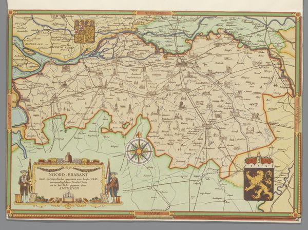
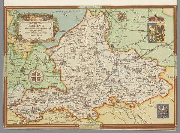
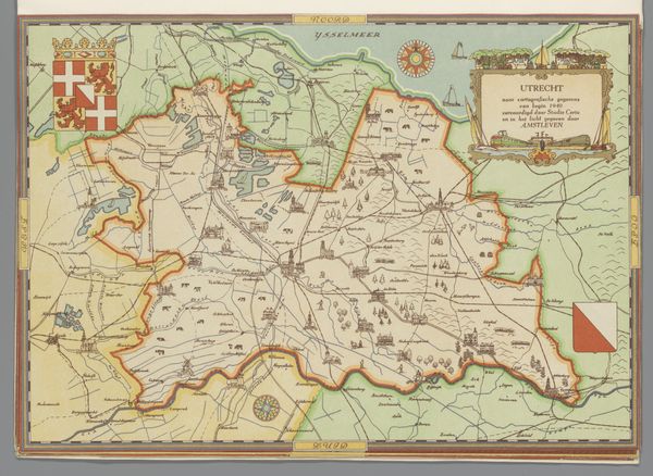
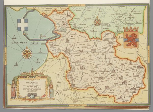
This is a map of Limburg, created in 1940 by Studio Certo. Made during a critical period in European history, it offers a cartographic snapshot of a region soon to be deeply affected by World War II. The map, beyond its geographical function, embodies the complex interplay of identity, place, and power. Consider how maps, traditionally tools of exploration and control, also serve to define territories and, by extension, the identities of people within those borders. The symbols of state, like the coat of arms, assert authority and claim ownership. This map, printed in the Netherlands, reflects the tense atmosphere as war loomed. How might the residents of Limburg have viewed this representation of their homeland, knowing the storm that was approaching? The map invites us to reflect on the relationship between geopolitical forces and personal identity, and the ways in which lines on a map can profoundly shape human experience.
Comments
No comments
Be the first to comment and join the conversation on the ultimate creative platform.
More like this