graphic-art, print, engraving
#
graphic-art
# print
#
landscape
#
cityscape
#
history-painting
#
engraving
Dimensions: height 229 mm, width 196 mm
Copyright: Rijks Museum: Open Domain
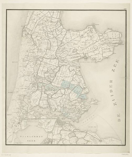
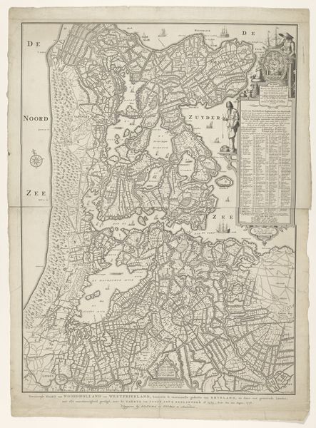
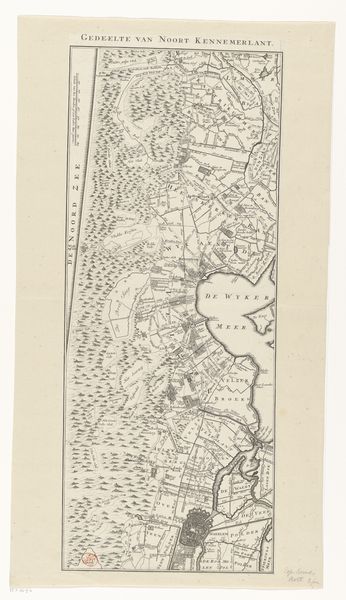
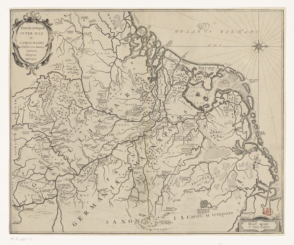
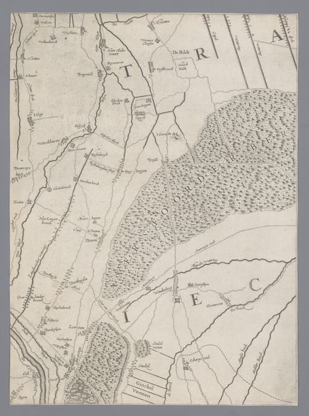
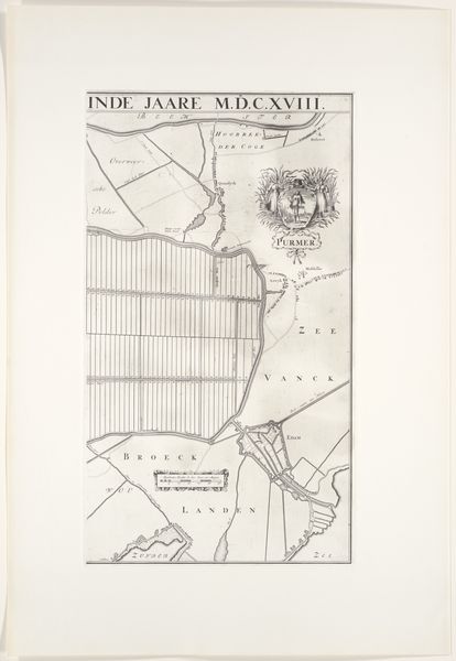
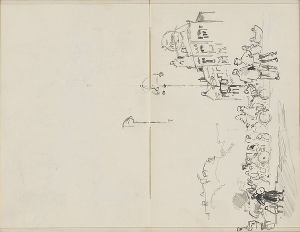
Frédéric Auguste La Guillermie made this print titled, 'Nord Holande Campagne de 1799. France militaire.' This cartographic print comes from a period of intense military and political upheaval in Europe. The map depicts North Holland during the military campaign of 1799, a time when revolutionary France was expanding its influence across the continent. France’s military ambitions shaped the creation and use of such maps, turning them into strategic tools for planning and executing military campaigns. Notice how the map meticulously details the topography of the region, highlighting key cities such as Haarlem and Amsterdam. The level of detail suggests its importance for military strategists needing to navigate and control the territory. The study of this artwork and others like it relies on deep archival research, connecting seemingly objective representations to their historical contexts. By considering the purposes and the socio-political context, we can understand how art is shaped by the institutional powers of its time.
Comments
No comments
Be the first to comment and join the conversation on the ultimate creative platform.
More like this