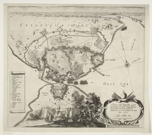
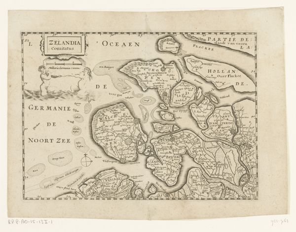
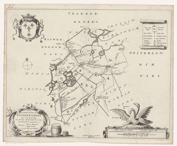
drawing, print, ink, engraving
#
drawing
#
baroque
# print
#
pen sketch
#
landscape
#
ink
#
cityscape
#
engraving
Dimensions: height 280 mm, width 365 mm
Copyright: Rijks Museum: Open Domain
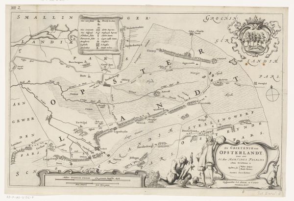
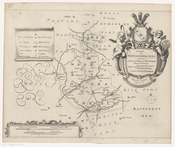
This is a map of Oostdongeradeel, made by Jacob van Meurs around the mid-17th century, likely through etching or engraving, a printmaking technique. The meticulous lines of the map, from the coastlines to the lettering, speak to a highly skilled artisan. Notice the level of detail required to depict geographical features, settlements, and administrative divisions. It's a testament to the engraver's mastery over their tools and materials, with an expert hand guiding a burin or similar instrument across a metal plate, to incise lines that hold ink and transfer an exact image onto paper. The very act of cartography, of mapping territory, has political implications. These skills were essential to trade, military planning and colonial expansion. It reminds us that even seemingly objective representations of the world are always shaped by human interests and labor. Looking at this print, we are prompted to value the skill, labor, and social context involved in its creation.
Comments
No comments
Be the first to comment and join the conversation on the ultimate creative platform.
More like this