print, engraving
#
aged paper
# print
#
asian-art
#
old engraving style
#
geometric
#
history-painting
#
engraving
Dimensions: height 145 mm, width 215 mm
Copyright: Rijks Museum: Open Domain
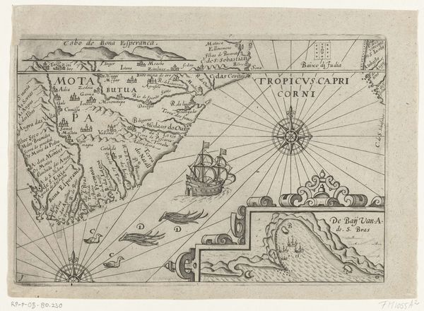
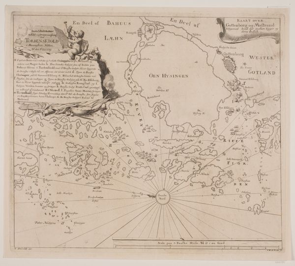
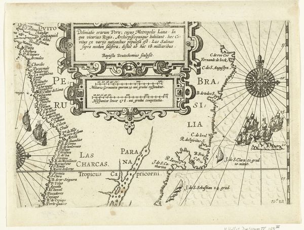
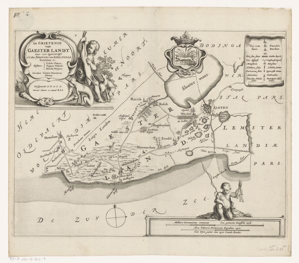
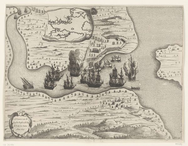
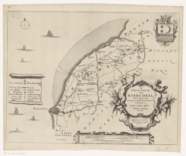
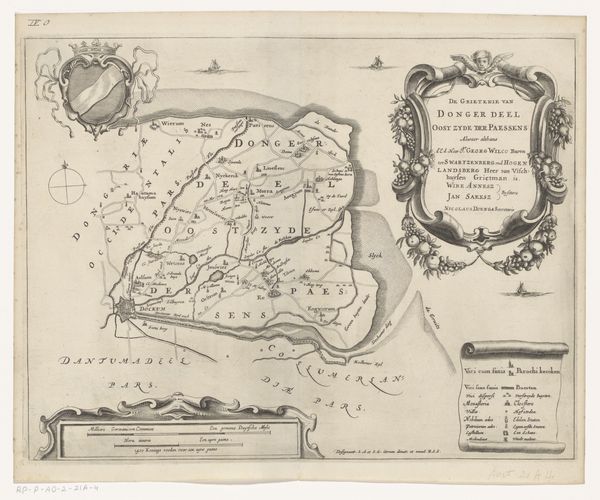
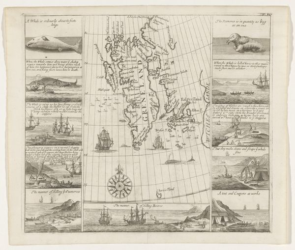
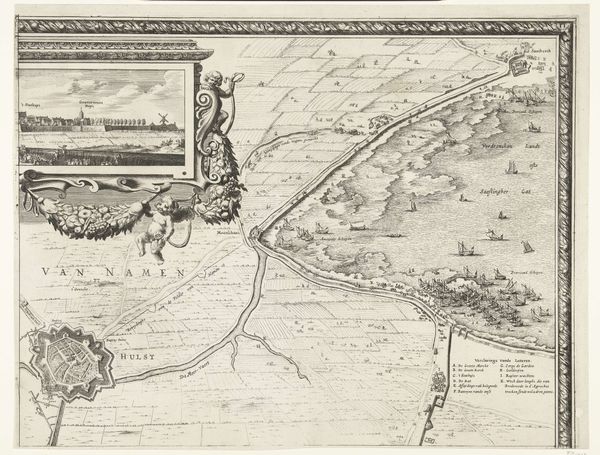
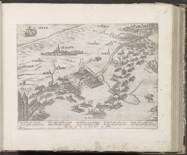
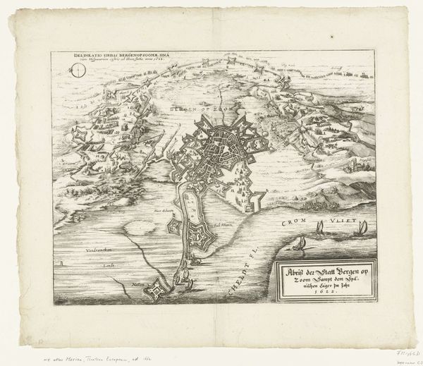
This map of Mauritius harbor was made in 1598 by an anonymous artist, using the technique of etching. The process involves coating a metal plate with a waxy, acid-resistant substance, then scratching an image into it. The plate is then immersed in acid, which bites into the exposed metal, leaving behind an impression. It's a printmaking technique that allowed for relatively easy reproduction – handy for circulating navigational information. Look closely, and you'll notice the compass rose, which speaks to the primary function of this object: to enable and record Dutch exploration. The map also shows the harbor dotted with ships, emphasizing the island’s importance as a trade hub. The inscription at the bottom dedicates the island to Prince Maurits, suggesting the map also played a role in colonial ambitions. So, while this may seem a functional object, it's important to note the social and political context in which it was made. The print embodies a moment of resource extraction, labor, and global capitalism, captured in a single sheet of etched metal.
Comments
No comments
Be the first to comment and join the conversation on the ultimate creative platform.
