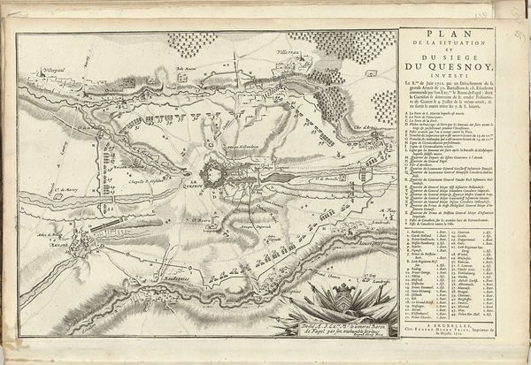
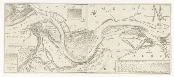
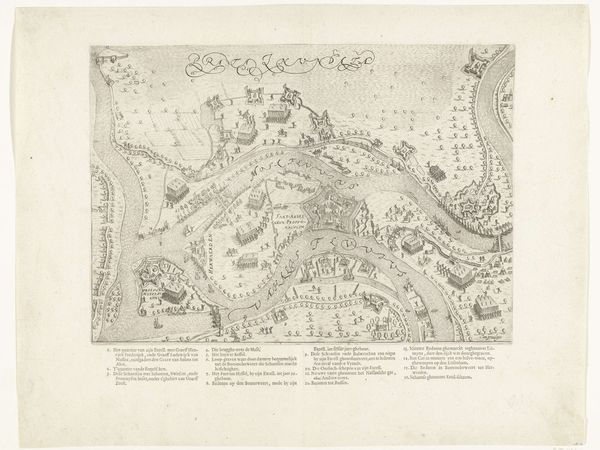
graphic-art, print, etching, engraving
#
graphic-art
#
dutch-golden-age
# print
#
pen sketch
#
etching
#
landscape
#
cityscape
#
engraving
Dimensions: height 339 mm, width 418 mm
Copyright: Rijks Museum: Open Domain
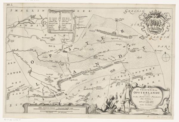
This is Jacob van Meurs’s map of Schoterland, made sometime in the 17th century. Van Meurs was part of a vibrant cartography industry in Amsterdam during the Dutch Golden Age. The map offers us a glimpse into the historical, social, and cultural contexts of the Netherlands at that time, especially in how it depicts the relationship between the land and its inhabitants. It’s not just a neutral depiction of geography; it embodies the relationship between people and the land, and how labor literally shapes territory. Take note of the woman at the bottom, building a wall, brick by brick. Her inclusion isn't just decorative; it speaks to the labor, often gendered and invisible, required to create and maintain a landscape. It emphasizes a cultural narrative where the Dutch identity is tied to land reclamation. These maps not only charted territory, but also served as tools to establish ownership, governance, and collective identity. This map develops a narrative about the human impact on the land, highlighting the emotional and personal dimensions of belonging and identity.
Comments
No comments
Be the first to comment and join the conversation on the ultimate creative platform.
More like this