drawing, print, ink, engraving
drawing
dutch-golden-age
pen illustration
landscape
ink
engraving
Dimensions: height 284 mm, width 365 mm
Copyright: Rijks Museum: Open Domain
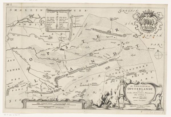
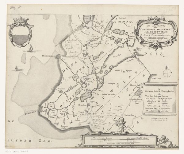
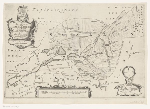
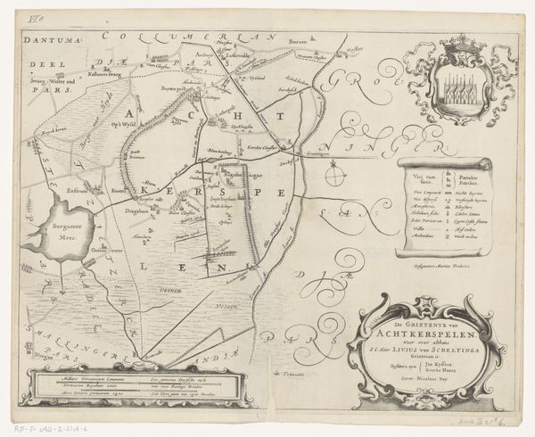
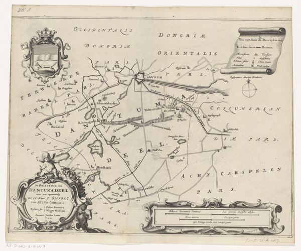
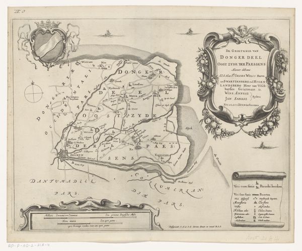
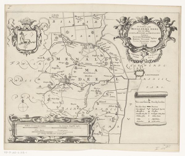
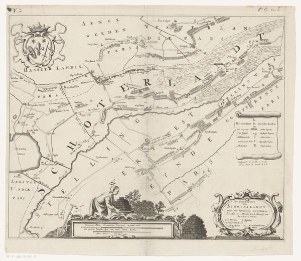
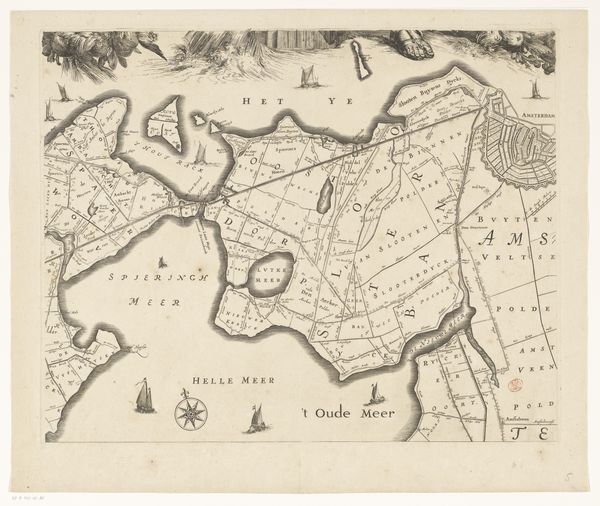
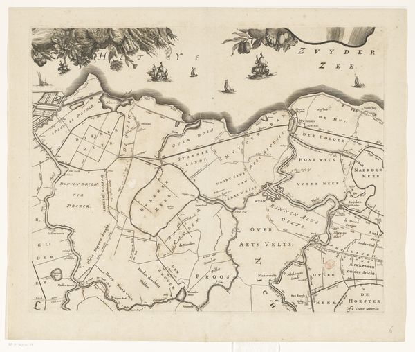
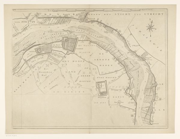
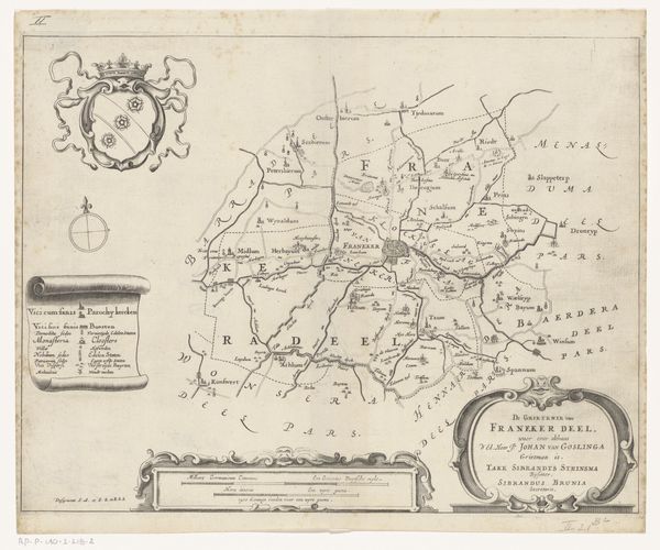
This is Jacob van Meurs’s "Kaart van de grietenij Tietjerksteradeel," an engraving dating to the 17th century, now held at the Rijksmuseum. The map presents a structured interplay of lines and forms, demarcating regions and waterways with precision. The monochrome palette emphasizes the textures of the paper, which is finely etched to denote different terrains and settlements. The composition is organized around the central geographical area, surrounded by decorative cartouches and legends. Each element is meticulously rendered, contributing to a cohesive, albeit stylized, representation of space. Semiotically, the map operates as a system of signs; lines signify boundaries, symbols mark settlements, and the careful arrangement of text conveys political and geographical information. The overall structure of the map embodies the dual purpose of documentation and aesthetic display, typical of cartography from this period. It is a visual treaty that attempts to impose order on the natural world, translating it into a symbolic form accessible for administrative and cultural understanding.
Comments
No comments
Be the first to comment and join the conversation on the ultimate creative platform.
