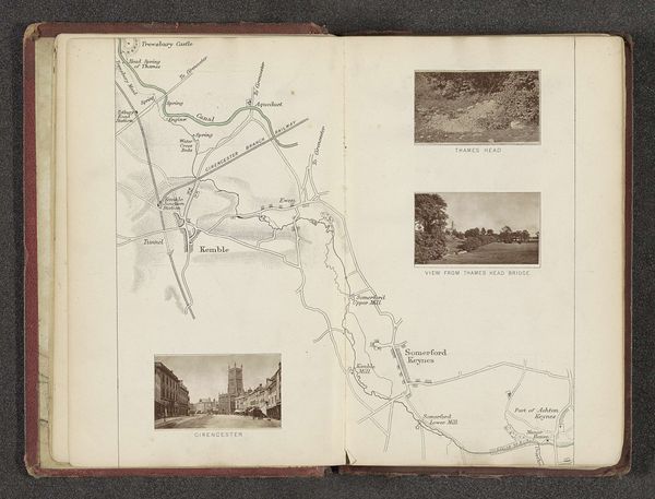
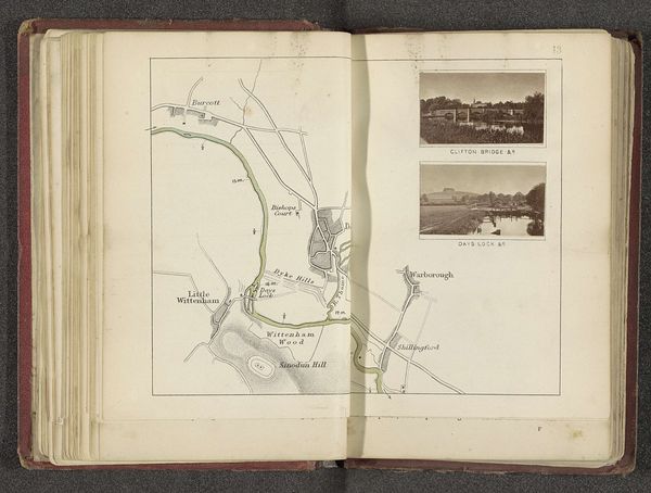
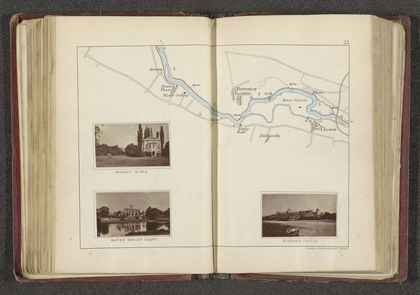
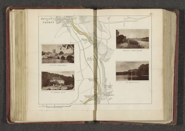
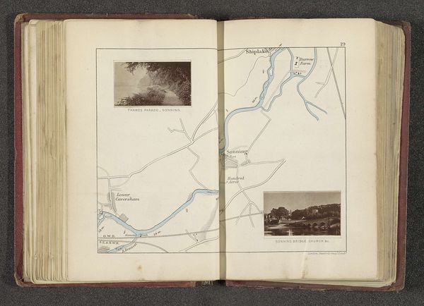
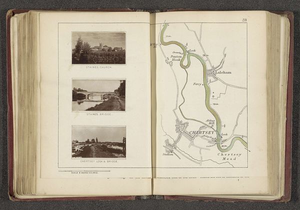
Kaart met vier afbeeldingen van plaatsen langs de Theems in de buurt van Oxford before 1879
0:00
0:00
watercolor
#
aged paper
#
toned paper
#
book binding
#
sketch book
#
landscape
#
river
#
personal sketchbook
#
watercolor
#
coloured pencil
#
sketchbook drawing
#
cityscape
#
storyboard and sketchbook work
#
sketchbook art
#
watercolor
Dimensions: height 182 mm, width 232 mm
Copyright: Rijks Museum: Open Domain
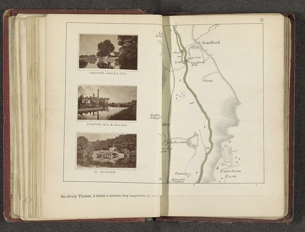
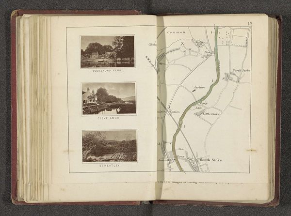
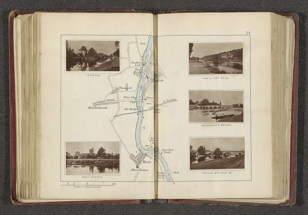
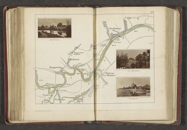
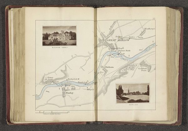
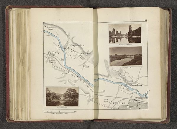
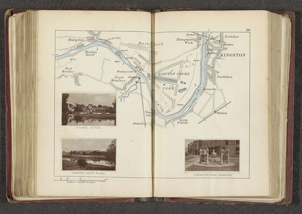
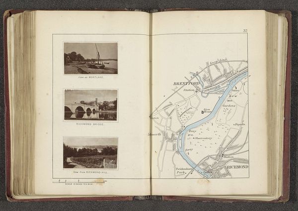
Editor: This is "Kaart met vier afbeeldingen van plaatsen langs de Theems in de buurt van Oxford" (Map with four images of places along the Thames near Oxford) created before 1879 by Henry W. Taunt, using watercolor and coloured pencil. It's an open sketchbook page, with both a map and scenic vignettes. What really stands out to me is the blend of practicality and artistry. How do you interpret this work? Curator: The immediate impression is one of layered meaning. Beyond the geographical precision of the map and the picturesque scenes, this image acts as a memory palace. Notice how the River Thames isn’t merely a waterway but a vein connecting the heart of Oxford with its surrounding landmarks. Consider, too, that the very act of mapping has a long, often fraught history; what symbolic weight does the artist attach to each included location, and each *omitted* one? What’s privileged and why? Editor: So the placement and selection hold significance beyond just depicting the area? Curator: Absolutely. Water, especially a river like the Thames, carries powerful connotations: flow, time, change. The vignettes—High Street, the river and boats, Iffley Mill— aren’t neutral observations. They represent, in visual shorthand, specific experiences, social spaces, perhaps even political affiliations. Can you sense how this “storyboard and sketchbook work” is more than just observation and planning, it also acts as an aesthetic and sentimental interpretation? Editor: I see what you mean! It is as though the artist attempts to capture the entire experience of Oxford. It’s a personal, historical, and even emotional cartography. Thanks, that's so helpful to understanding the deeper layers of meaning here. Curator: Precisely! These older, topographical representations can offer such potent access to personal and cultural symbolism.
Comments
No comments
Be the first to comment and join the conversation on the ultimate creative platform.
More like this