print, photography
# print
#
landscape
#
river
#
photography
#
cityscape
Dimensions: height 182 mm, width 230 mm
Copyright: Rijks Museum: Open Domain
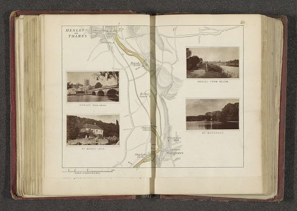
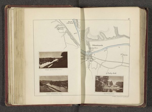
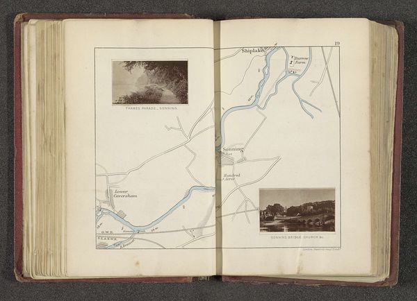
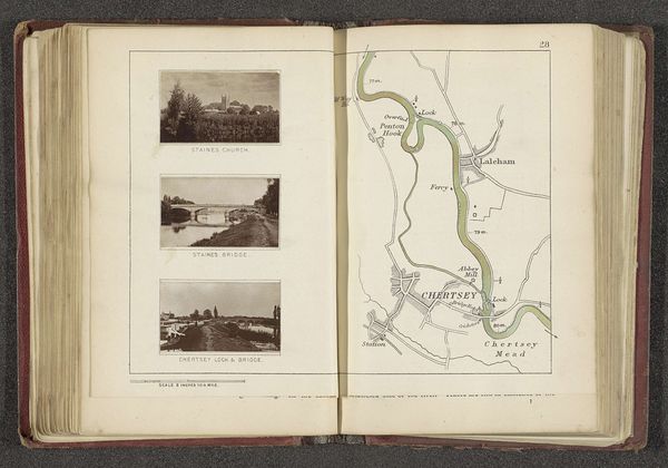
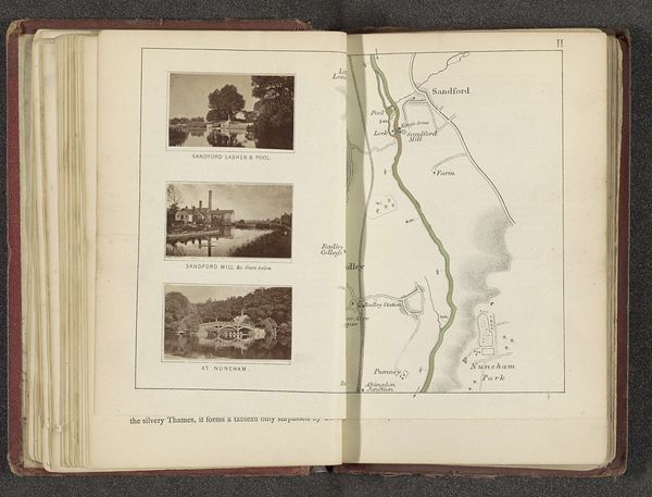
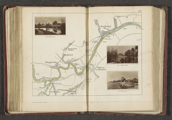
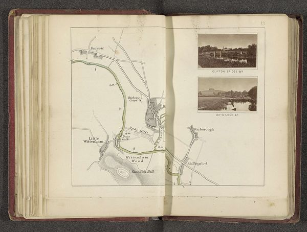
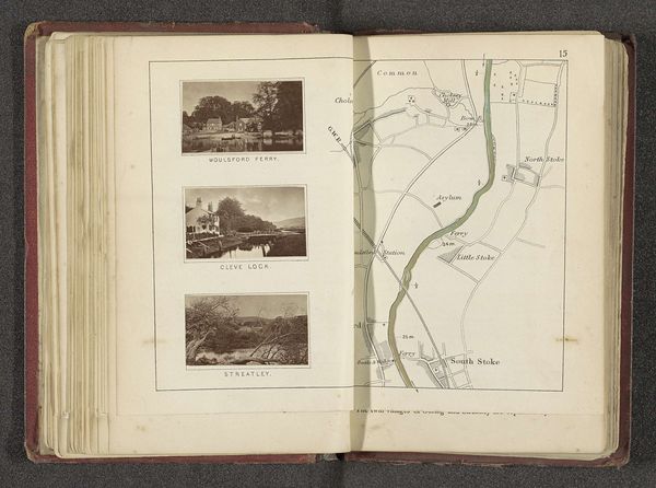
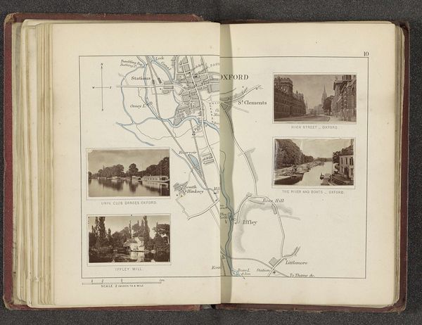
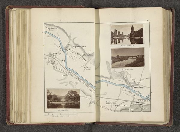
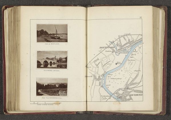
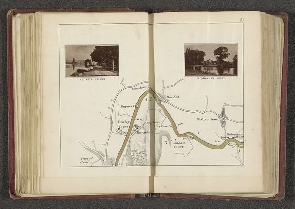
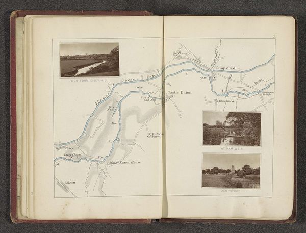
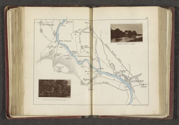
This is a page from an album by Henry W. Taunt, presenting a map interwoven with photographic images of the Thames. Taunt lived through the Victorian era, a time marked by British industrial expansion, urbanization, and strict social stratification. Taunt's photographs capture serene landscapes, yet we must acknowledge the complexities beneath. These idyllic scenes were only accessible to certain classes. River access and leisure activities often excluded the working class, who were more likely to be involved in the labor that sustained these very landscapes. This prompts us to reflect on the cultural and class dynamics that were intentionally framed and consumed through photography. Consider how Taunt's work contributes to constructing a particular narrative of English identity—one deeply rooted in idealized visions of the natural world and a romanticized past. How might these constructed images affect our understanding of history, place, and belonging?
Comments
No comments
Be the first to comment and join the conversation on the ultimate creative platform.
More like this