print, paper, photography
# print
#
sketch book
#
landscape
#
river
#
paper
#
photography
#
coloured pencil
#
cityscape
Dimensions: height 182 mm, width 230 mm
Copyright: Rijks Museum: Open Domain
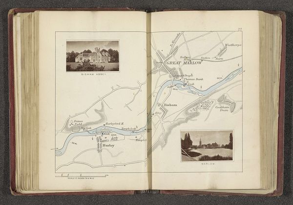
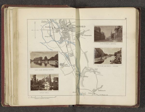
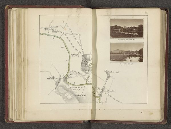
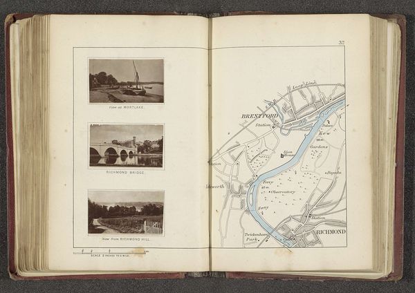
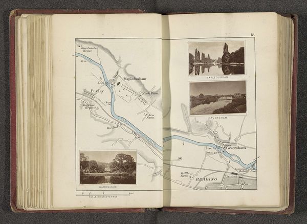
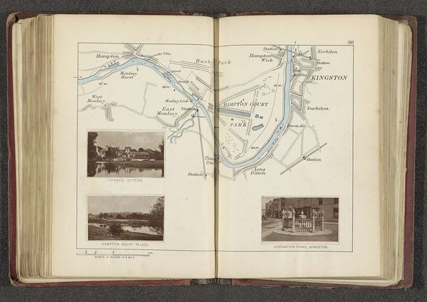
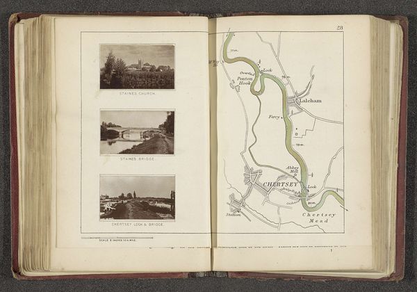
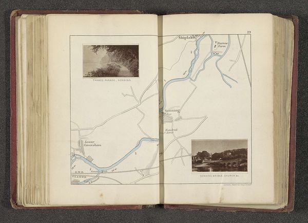
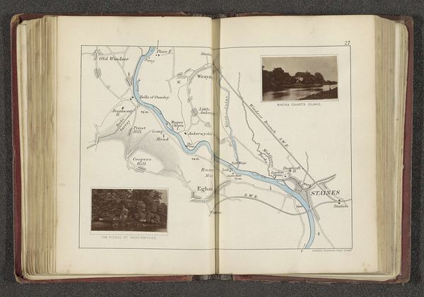
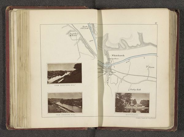
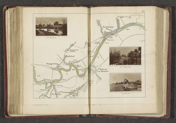
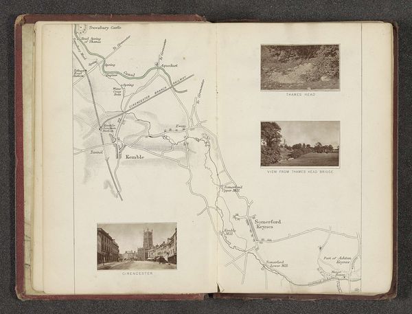
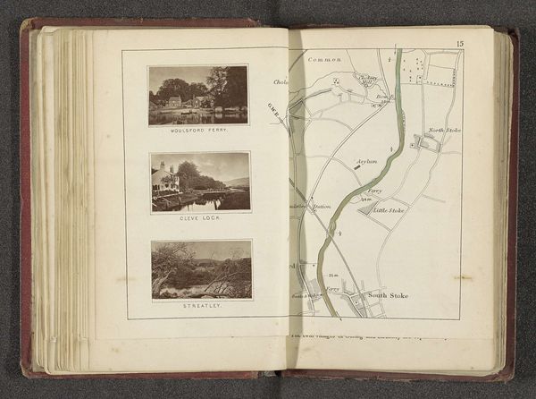
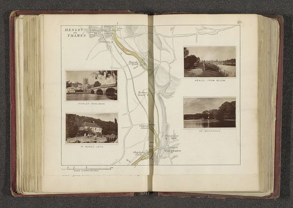
Henry Taunt made this map with photographic views of the Thames, sometime in the late 19th or early 20th century. It gives us a window onto the social and cultural life of the river at that time. Note how Taunt combines the practical with the picturesque. The map itself is a functional tool for navigation, but the inclusion of Monkey Island, Water Oakley Court, and Windsor Castle elevates it. It speaks to the way the Thames was not just a working river, but a site of leisure and aristocratic power. Consider the politics of this imagery. Who is invited to participate in this vision of the Thames? Who is excluded? Historical sources like newspapers, diaries, and business records can help us understand the social realities behind these images, and how they reflect or challenge the norms of their time. Studying this map alongside other historical documents allows us to see how art is always embedded in a specific social and institutional context.
Comments
No comments
Be the first to comment and join the conversation on the ultimate creative platform.
More like this