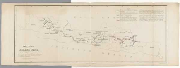
print, photography
# print
#
photography
Dimensions: height 560 mm, width 832 mm
Copyright: Rijks Museum: Open Domain
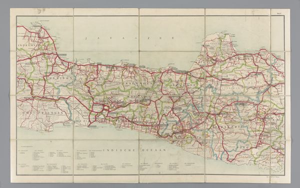
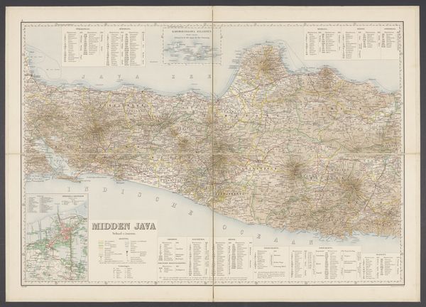
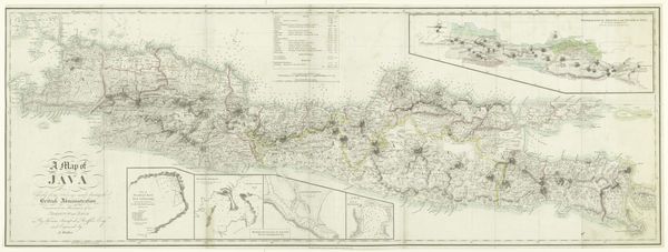
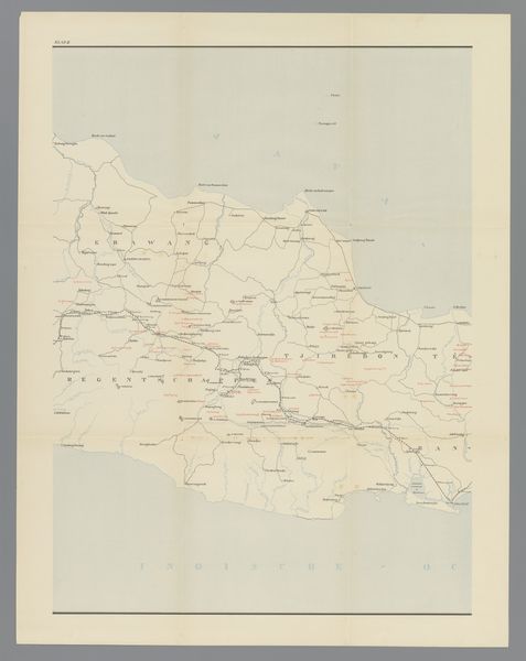
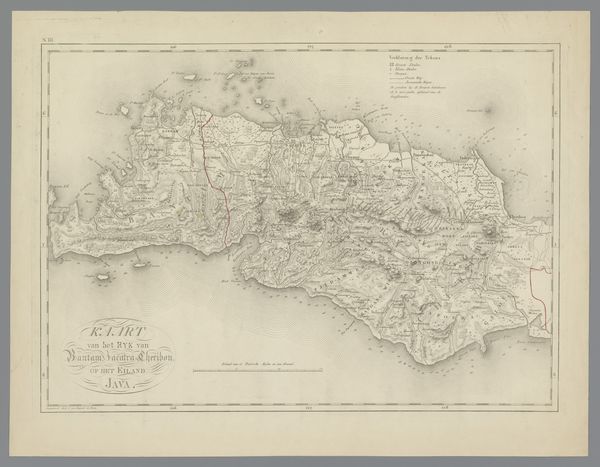
Curator: We're looking at "Wegenkaart van West-Java," a fascinating print made sometime between 1906 and 1938, currently residing at the Rijksmuseum. It is, from what I gather, an automobile roadmap of Java and Madura. Editor: Initially, I see this dense web, an almost frantic scribbling of routes that feels symbolic of colonial ambition itself, etched onto the landscape. Curator: Note how the cartography here isn't just about pure topography; the distinct rendering of roadways in bold red asserts their centrality. What this piece communicates effectively is a structuring of the Java landscape through transportation infrastructure. Consider also the graphical quality evident through close inspection of the cartographic line-work. The relationship among various cartographic forms creates meaning. Editor: Absolutely, the visual encoding screams about the transformation of Java under Dutch colonial rule. The detailed layering speaks volumes—highlighting colonial presence but what is necessarily absent? We must critically address what perspectives remain obscured in this seemingly innocuous navigational tool. For instance, there is a clear emphasis given to infrastructure tailored for colonial use. Curator: From a design perspective, the map uses a consistent key and scale. The relationship of figure to ground, positive and negative space. How these compositional aspects lead the eye and prioritize visual hierarchy of Java. Editor: Consider how the "Java Motor Club," named prominently, signifies privilege and exclusivity during the era of colonial occupation, hinting at an upper class who likely are those with the automobiles the map seems designed for. Who truly benefitted from this apparent progress and development? We see the image as it has been organized by the ruling forces in a specific place at a specific time, during an occupation. The details here highlight the uneven impacts of colonial advancements in transport networks that perpetuated disparities. Curator: These are quite compelling points; although I will hold on to the pure compositional design. Editor: As a document it speaks volumes about a place at a distinct and poignant historical junction, doesn't it?
Comments
No comments
Be the first to comment and join the conversation on the ultimate creative platform.
More like this