print, etching, paper, engraving
# print
#
etching
#
paper
#
geometric
#
orientalism
#
engraving
#
realism
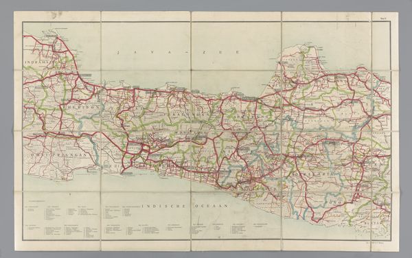
Dimensions: height 470 mm, width 645 mm
Copyright: Rijks Museum: Open Domain
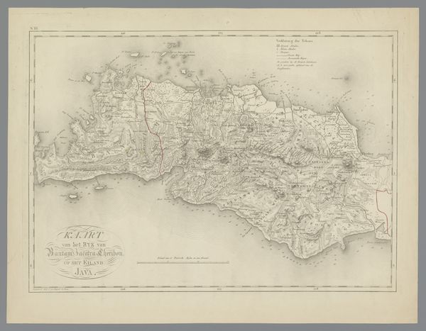
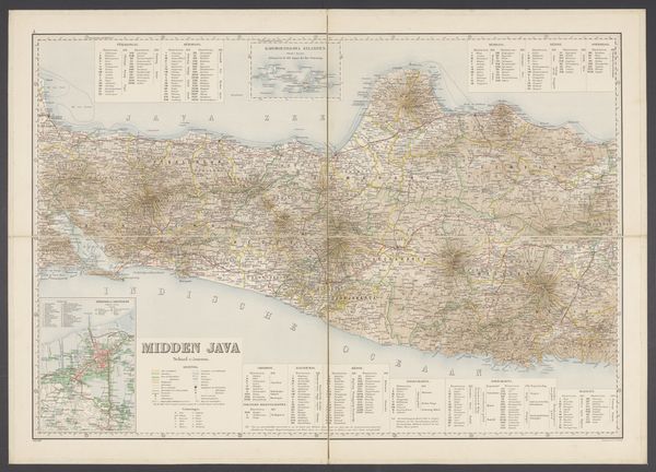
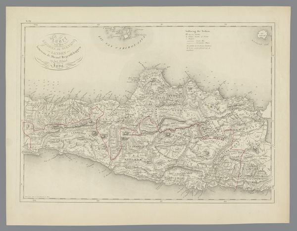
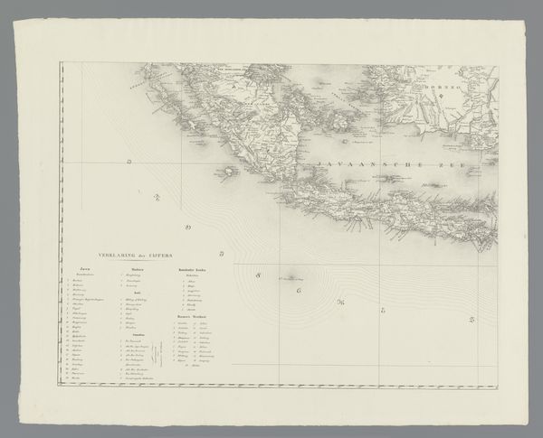
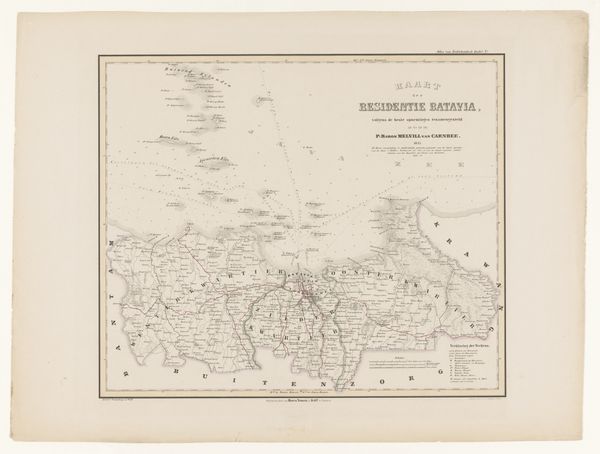
Editor: Here we have Adriaan Jan Bogaerts' "Kaart van Java en Madoera, rechterdeel" created around 1850, using etching and engraving techniques on paper. Looking at the fine lines detailing the landscape, it feels incredibly precise and informative, yet also remote. What story does this map tell, in your view? Curator: Well, immediately I see a projection not just of geography but of power. A map like this, especially from the mid-19th century, wasn't just about showing you where things are. It was a tool for colonial administration, resource extraction, and ultimately, control. Consider the incredible detail – likely intended to impress the viewer back in Europe. What do you notice about the areas that are most meticulously rendered? Editor: The coastlines and some inland mountainous areas, maybe marking resources or points of interest? Curator: Precisely. Think about who commissioned this map, and for what purpose. These finely detailed areas likely represent locations of strategic or economic significance to the Dutch colonial power. It represents a very particular, and political, gaze. Are there areas less defined? What does this say about its value to those commissioning it? Editor: It does feel like the purpose was less about geographical accuracy for the inhabitants, and more for external powers to chart and control the region. I hadn't considered how a map itself could be such a loaded object. Curator: Exactly. It forces us to confront the inherent biases and agendas that shaped even seemingly objective representations of the world. It reminds us that knowledge is power. Editor: I’ll never look at a map the same way again. Thanks for this new perspective. Curator: My pleasure, it is rewarding to consider such things with a keen pair of eyes.
Comments
No comments
Be the first to comment and join the conversation on the ultimate creative platform.
More like this