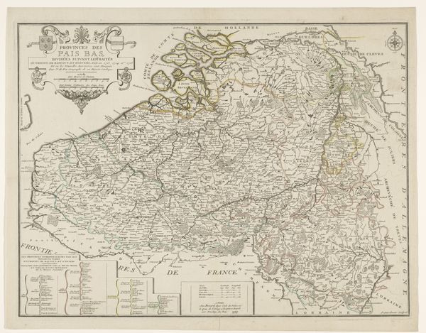
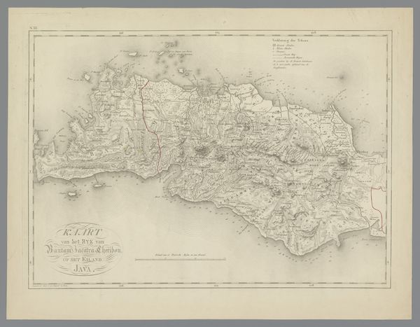
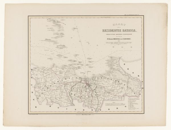
graphic-art, print
#
graphic-art
# print
#
landscape
#
geometric
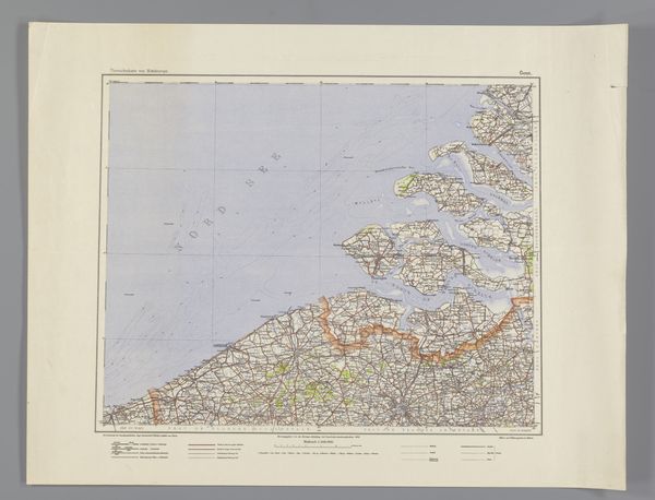
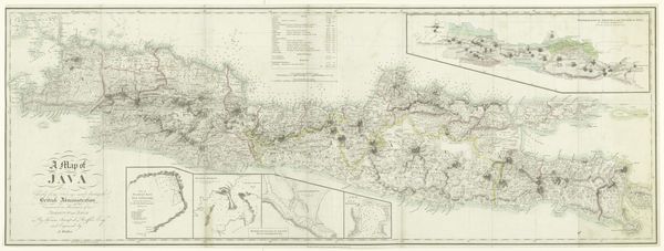
Dimensions: height 655 mm, width 920 mm
Copyright: Rijks Museum: Open Domain
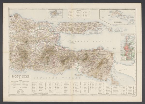
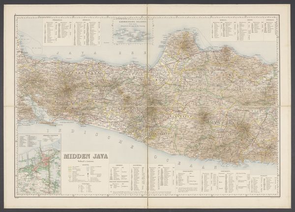
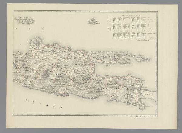
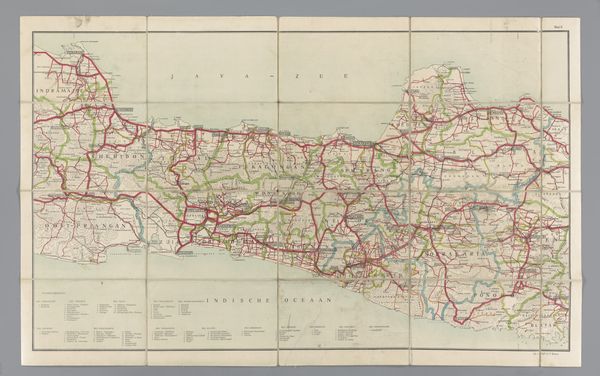
This is a map of West Java, made by the Topografische Inrichting, and held here at the Rijksmuseum. The map's printed on paper, a relatively inexpensive and easily reproducible material, which speaks to its function as a tool for widespread use. Look closely at the fine lines and tiny printed letters. The detailed rendering would have been achieved through techniques like engraving or lithography, processes that allowed for multiple impressions to be made quickly and accurately. Cartography and printmaking are closely associated with exploration, colonialism, and the exercise of power. This map, therefore, is not just a neutral representation of geography, but an object imbued with social and political significance. The very act of mapping a territory implies a claim of ownership and control, a means to exploit natural resources and labor. By considering the materials and processes used to create this map, we can better understand its role in shaping perceptions and facilitating colonial ambitions.
Comments
No comments
Be the first to comment and join the conversation on the ultimate creative platform.
More like this