graphic-art, print, paper, photography
#
graphic-art
# print
#
paper
#
photography
#
orientalism
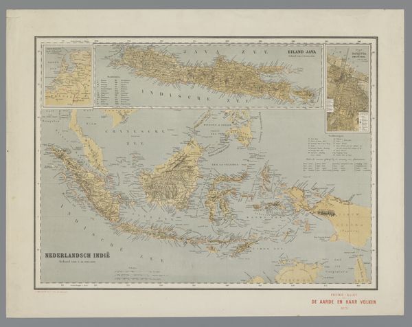
Dimensions: height 655 mm, width 920 mm
Copyright: Rijks Museum: Open Domain
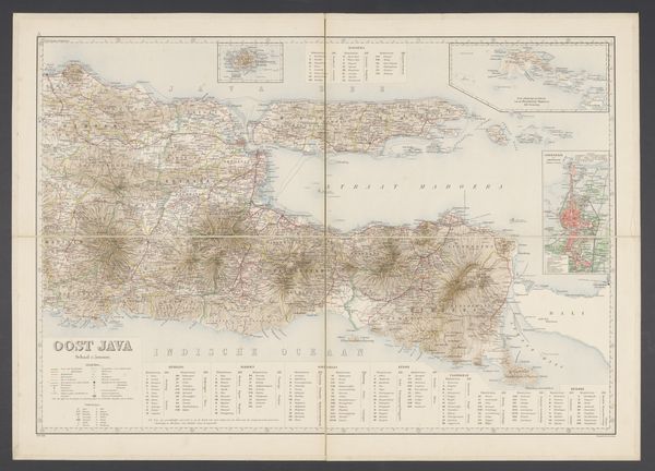
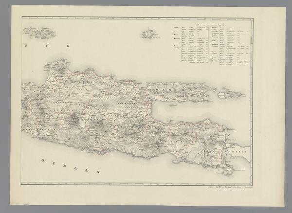
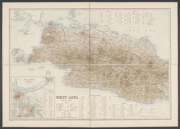
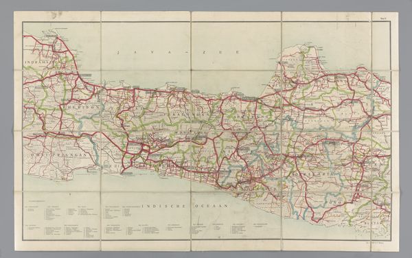
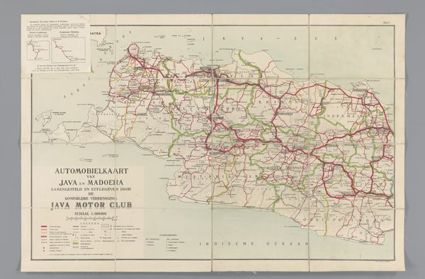
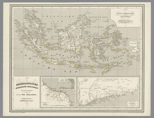
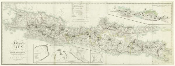
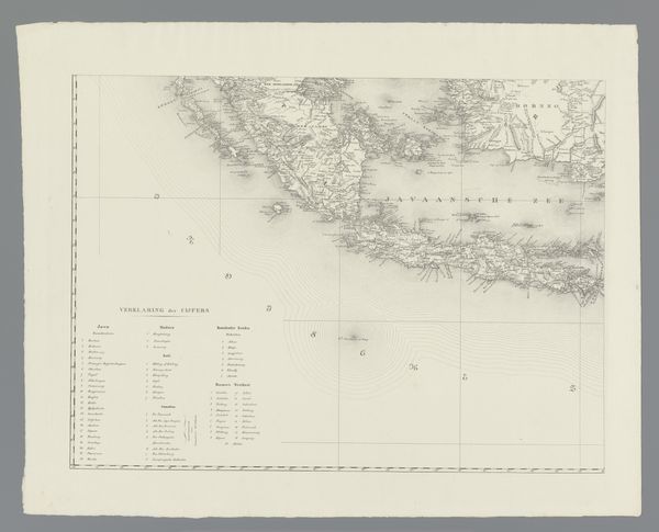
Editor: Here we have the "Kaart van Midden-Java," or "Map of Central Java," created in 1907 by Topografische Inrichting. It’s a print on paper, and I’m immediately struck by how detailed it is. It feels like more than just a geographical document, though. How do you interpret this work? Curator: Well, it’s essential to understand this map not just as a neutral representation of space, but as a product of Dutch colonialism. In 1907, the Dutch East Indies were firmly under Dutch control. Maps like these were instruments of power, tools to manage, extract resources from, and control populations. Editor: So, the level of detail speaks to a colonial desire for knowledge and control? Curator: Precisely. Think about the act of mapping itself – it’s an act of claiming and defining. The very process of naming places, categorizing terrain, it's all tied into asserting dominance and a Western gaze. This map isn't just showing us Java; it’s showing us Java as the Dutch wanted to see and understand it. Who decided what was important enough to be included on the map, and what got left out? How would an indigenous Javanese mapmaker have depicted this landscape? Editor: That makes me rethink my initial impression. What looks like objective information is really a constructed perspective. Are there visual cues that signal this colonial perspective? Curator: Consider the use of language. The map is titled in Dutch. Also think about the conventions of cartography itself, standardized and formalized by Western science. Every element carries a cultural encoding. We need to question whose interests this map served, and whose stories were silenced in its making. Editor: I hadn’t considered the map as an active agent in colonial power. It’s fascinating to see it in this new light. Curator: Exactly! Recognizing these power dynamics allows us to engage with the work critically, beyond its apparent surface.
Comments
No comments
Be the first to comment and join the conversation on the ultimate creative platform.
More like this