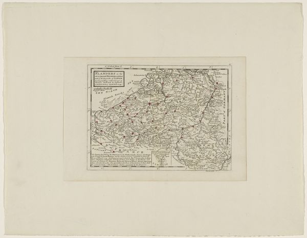
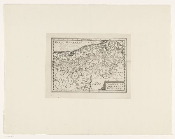
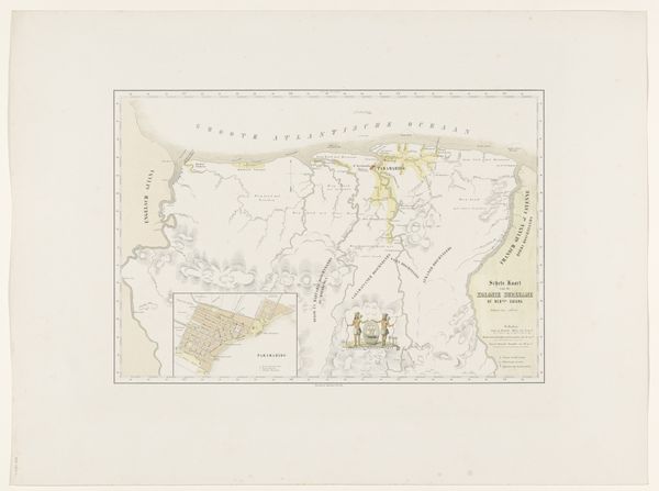
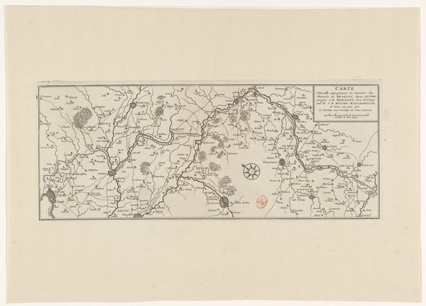
drawing, print, ink, engraving
#
drawing
#
ink drawing
#
baroque
# print
#
landscape
#
ink
#
geometric
#
engraving
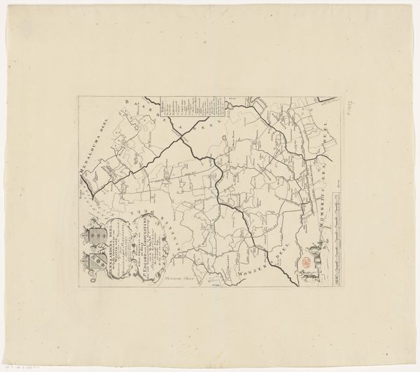
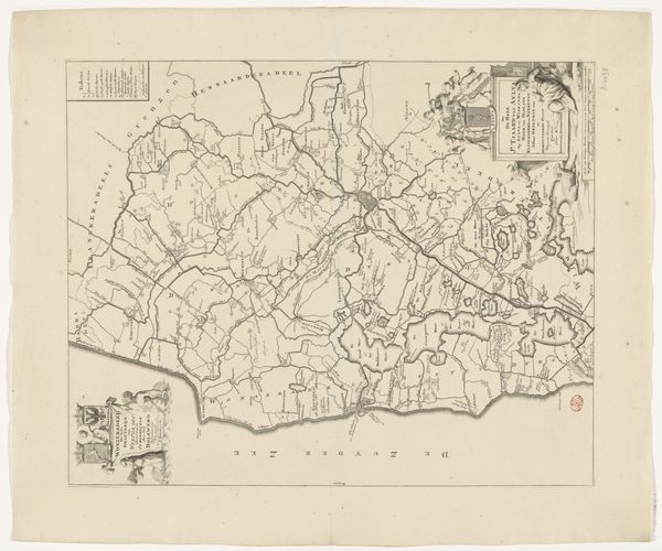
Dimensions: height 431 mm, width 458 mm
Copyright: Rijks Museum: Open Domain
This detailed map of Oostdongeradeel, was made anonymously, using engraving on paper. Engraving is an exacting, laborious process. The design is incised into a metal plate, traditionally copper, with a tool called a burin. The lines are then filled with ink, and the image is transferred to paper under high pressure. Here, the engraver's skill is evident in the fine lines and intricate details that depict the region's waterways, roads, and settlements. The technique lends itself to precision and clarity, ideal for representing geographical information. But the map is also a cultural artifact. It reflects the engraver's understanding of the landscape, and the priorities of the society that commissioned it. Consider the sheer labor involved in creating such a detailed image. Each line represents a deliberate mark, a testament to the engraver's patience and skill. This map isn't just a functional object; it's a record of human effort, and a reminder of the close relationship between craft, knowledge, and power.
Comments
No comments
Be the first to comment and join the conversation on the ultimate creative platform.
More like this