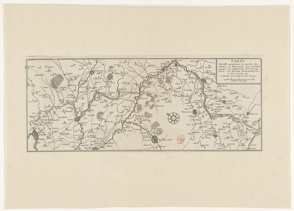
print, etching
#
dutch-golden-age
# print
#
etching
#
landscape
#
etching
#
geometric
#
cityscape
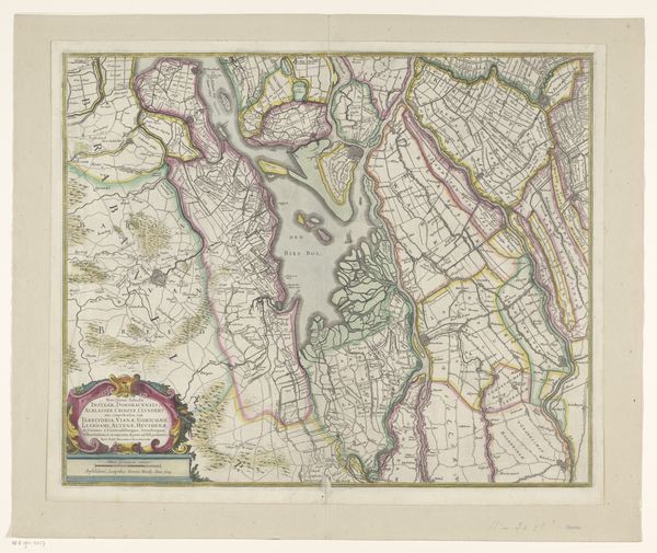
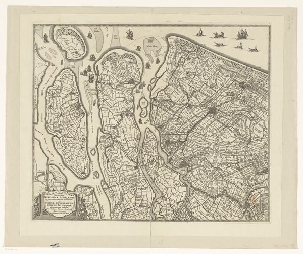
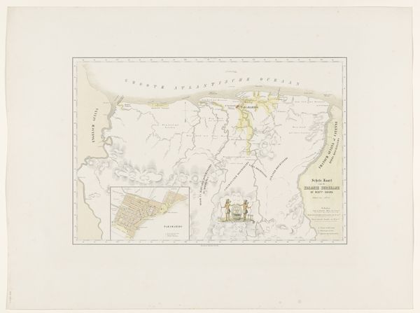
Dimensions: height 451 mm, width 540 mm
Copyright: Rijks Museum: Open Domain
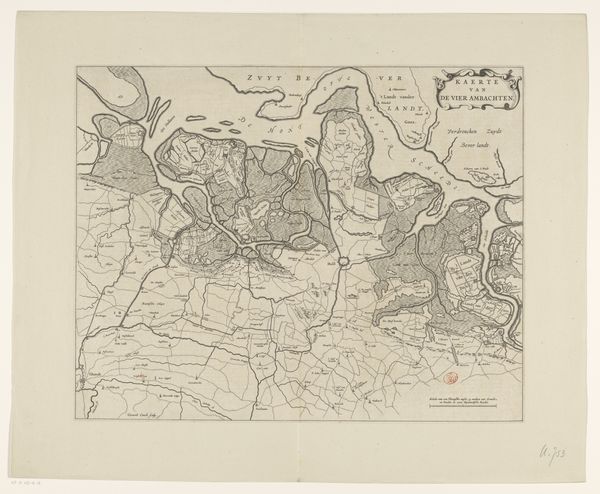
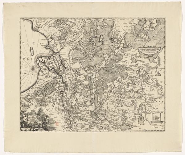
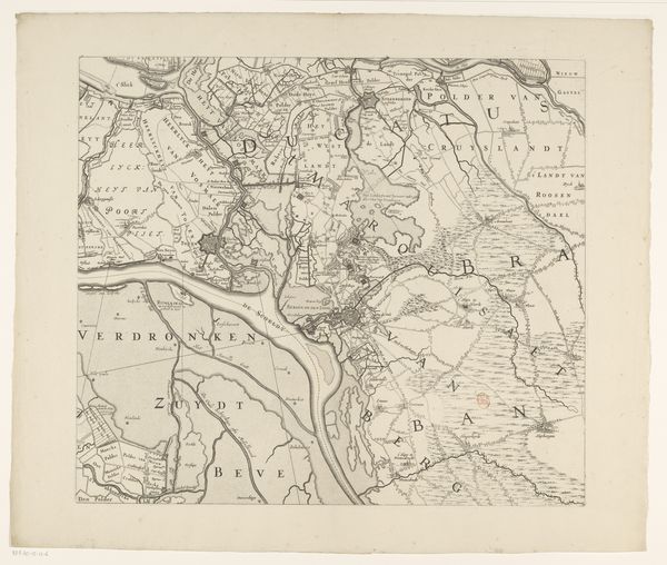
This is an undated map of Zuid-Holland of unknown origin, printed on paper and now residing in the Rijksmuseum. Maps are often perceived as objective, scientific tools, but they are also deeply cultural artifacts, reflecting the values and power structures of their creators. Consider the position of the map-maker: how does their perspective shape what is included and excluded, emphasized or downplayed? This map presents a bird's eye view of the landscape, neatly dividing the land into parcels. The clean lines contrast with the reality of the lived experience of those who worked the land. Who are these people? What is their relationship to the land? What does it mean to map territory, to make it legible and thus ownable? This map invites us to consider the intersections of knowledge, power, and representation. Think about what stories are told and whose voices are amplified or silenced in these representations. The map then becomes more than an image, but an invitation to question whose narrative is being presented as the dominant truth.
Comments
No comments
Be the first to comment and join the conversation on the ultimate creative platform.
More like this