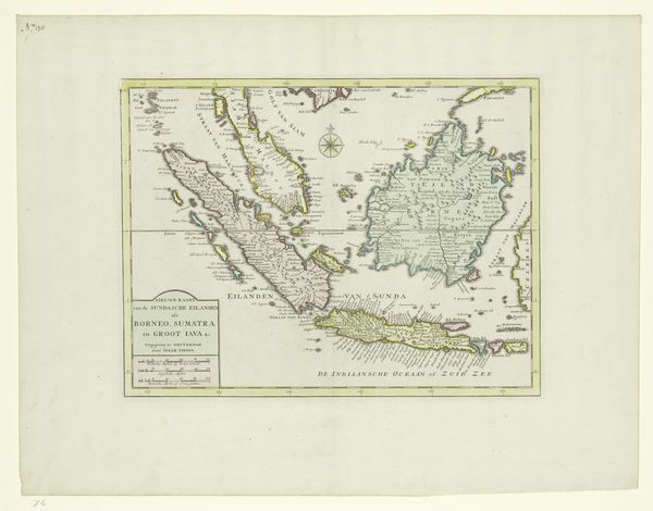
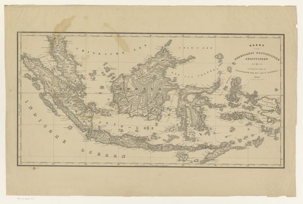
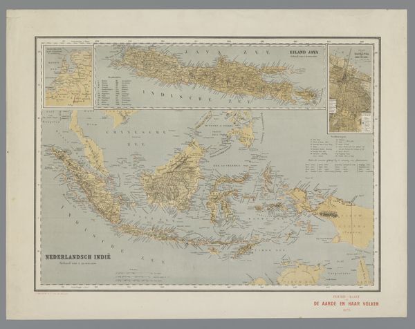
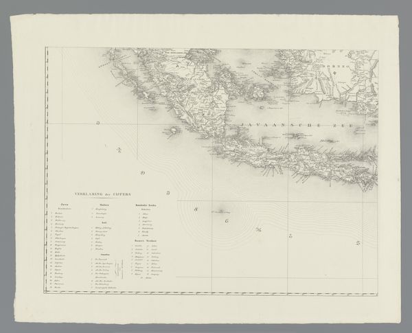
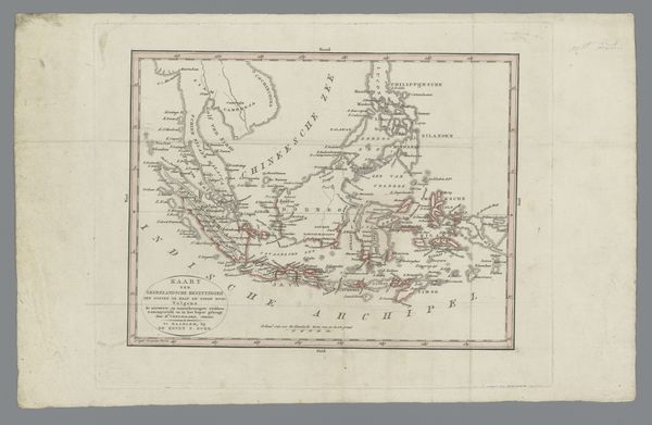
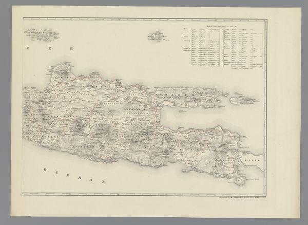
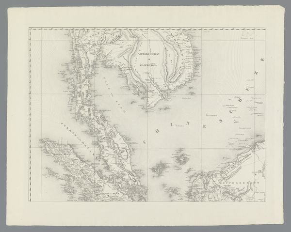
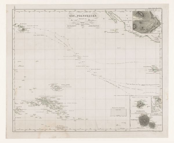
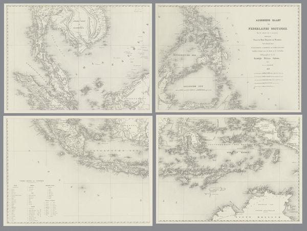
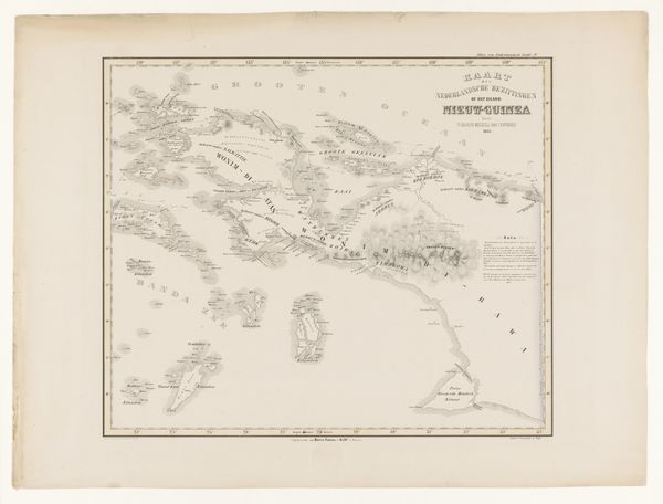
Kaart van Indonesië, met inzet van de kust van Zuid-Amerika, de Nederlandse Antillen en de kust van Guinée 1841 - 1847
0:00
0:00
print, engraving
# print
#
geometric
#
engraving
#
realism
Dimensions: height 495 mm, width 642 mm
Copyright: Rijks Museum: Open Domain
Editor: So, this is "Kaart van Indonesië, met inzet van de kust van Zuid-Amerika, de Nederlandse Antillen en de kust van Guinée," created between 1841 and 1847 by Carl Friedrich Julius de Jaeger. It's an engraving, a print, which is interesting. It strikes me as a document of colonial power. How do you interpret this work from a materialist perspective? Curator: The key lies in examining its production. The engraving and printing process itself—consider the labour involved in creating the matrix, the paper used, and the ink. This map wasn’t just a representation of geography; it was a commodity produced within a specific economic system. Editor: That’s fascinating! So, the physical act of creating the map becomes central to understanding its meaning? Curator: Precisely. And beyond the immediate materials, think about the broader social context. Who was this map *for*? Was it for navigation, resource extraction, or simply for asserting Dutch colonial control? Editor: It's interesting how it also depicts the coasts of South America, the Dutch Antilles, and Guinea. What purpose did these insets serve? Curator: These inclusions further illustrate the reach and ambitions of Dutch colonial power at the time. They weren't isolated endeavors; they were part of a global network of resource exploitation and trade. The materiality of the map reflects and reinforces this power dynamic. Editor: That’s really made me think differently about maps. I usually just see them as objective representations of the world, but this one is clearly a product of very specific social and economic forces. Curator: Indeed. It is a reminder that all cultural objects, even seemingly utilitarian ones, are imbued with the material conditions of their making and circulation.
Comments
No comments
Be the first to comment and join the conversation on the ultimate creative platform.
More like this