print, etching, graphite
# print
#
etching
#
old engraving style
#
etching
#
geometric
#
orientalism
#
graphite
Dimensions: height 221 mm, width 257 mm
Copyright: Rijks Museum: Open Domain
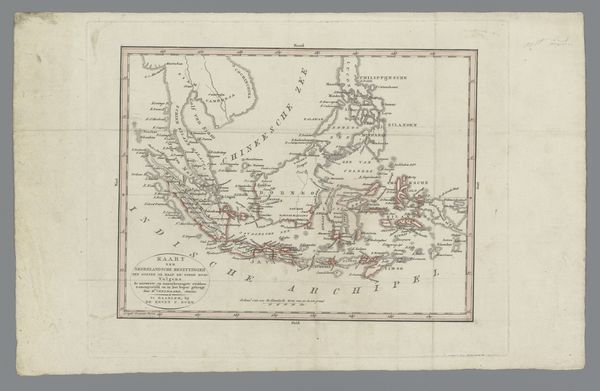
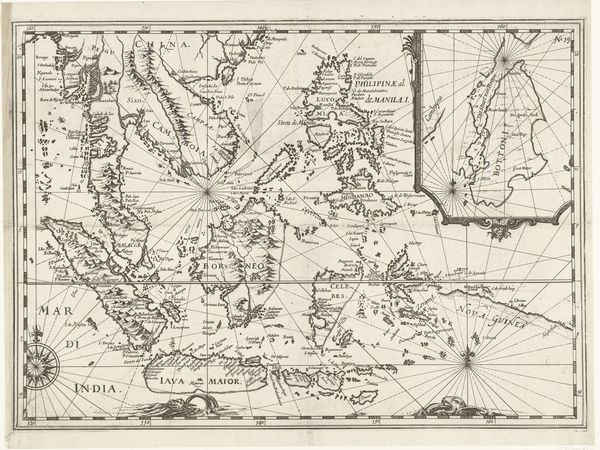
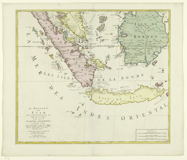
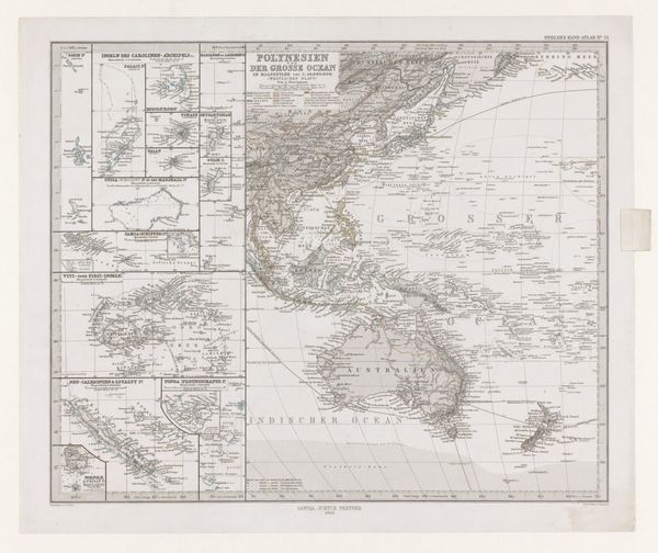
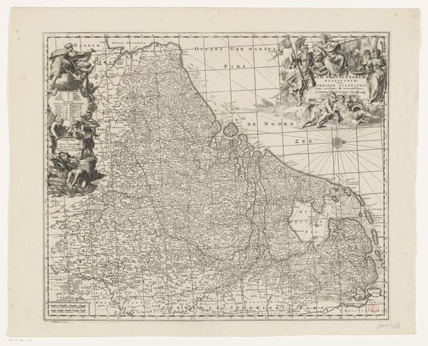
This map of the Moluccas and Sunda Islands is an engraving on laid paper. Consider the labor involved in creating this type of map: from the initial surveying and data collection in the field, to the skilled hand of the engraver meticulously cutting lines into a metal plate. The image would be printed with a press, each impression requiring careful inking and alignment. This was a mode of production perfectly suited to the needs of expanding empires. Accurate maps were essential for trade, navigation, and military control. The clean, precise lines of the engraving convey a sense of scientific objectivity. The use of engraving, a printmaking technique, highlights how art and technology intertwined. The map is not just a representation of geography, but an object produced through a complex interplay of skill, technology, and imperial ambition. By recognizing the role of materials and making, we gain a deeper understanding of its historical significance.
Comments
No comments
Be the first to comment and join the conversation on the ultimate creative platform.
More like this