drawing, print, paper, engraving
#
drawing
#
aged paper
#
homemade paper
#
paper non-digital material
#
pale palette
# print
#
light coloured
#
asian-art
#
hand drawn type
#
personal journal design
#
paper texture
#
paper
#
personal sketchbook
#
geometric
#
design on paper
#
engraving
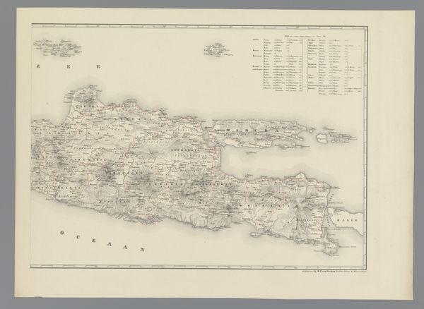
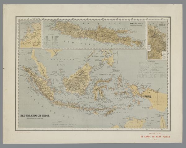
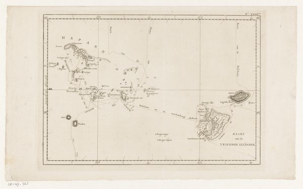
Dimensions: height 443 mm, width 559 mm
Copyright: Rijks Museum: Open Domain
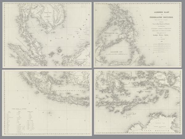
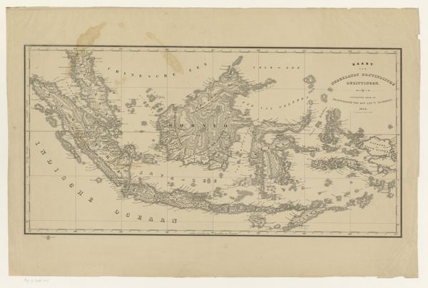
Franciscus Josephus Ensinck created this map of the Dutch East Indies in the 19th century. The most striking element is the depiction of the islands themselves, resembling fragmented bodies scattered across the sea. Maps have long been imbued with symbolic power. They are not merely geographical tools; they represent ownership, control, and the imposition of order onto the unknown. Think of the medieval "mappa mundi," where Jerusalem was centered, reflecting a divine worldview. In Ensinck’s map, we see a similar assertion of power through cartographic representation. The detailed rendering of coastlines and administrative divisions subtly communicates colonial authority and the desire to catalogue and control the landscape. This act of mapping stirs deep psychological undercurrents, connecting to our primal instincts to define territory. The sea, often a symbol of the unconscious, surrounds these lands, suggesting the hidden depths of cultural interaction and the untold stories of those who inhabit them. The map, therefore, becomes a powerful stage where political ambition, cultural memory, and psychological projection converge, inviting viewers to ponder the layers of meaning embedded within its lines and symbols.
Comments
No comments
Be the first to comment and join the conversation on the ultimate creative platform.
More like this