#
comic strip sketch
#
pen drawing
#
pen illustration
#
pen sketch
#
ink line art
#
personal sketchbook
#
pen-ink sketch
#
pen work
#
sketchbook drawing
#
storyboard and sketchbook work
Dimensions: height 320 mm, width 448 mm
Copyright: Rijks Museum: Open Domain
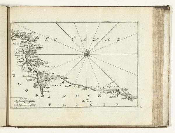
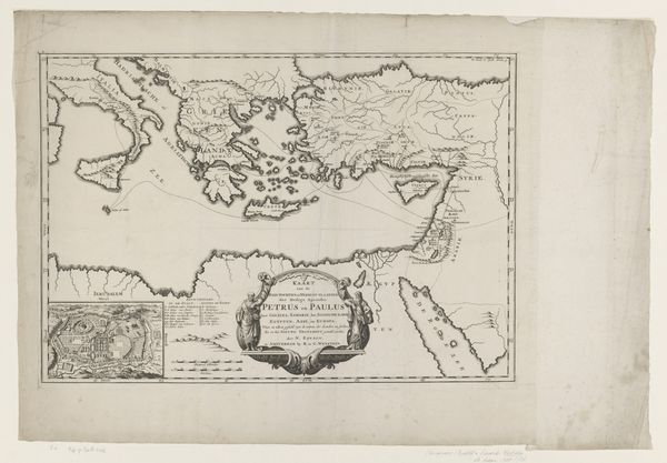
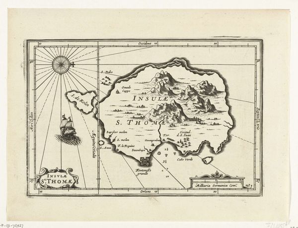
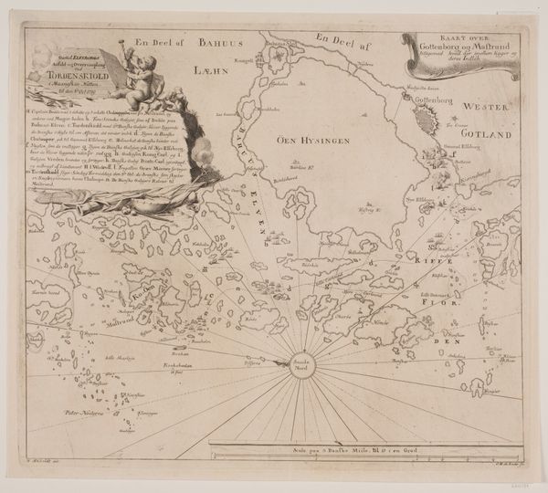
This is an anonymous map of the East Indies, created in 1616. The map is primarily linear, its stark monochrome emphasizing the intricate network of lines that define landmasses and shipping routes. Note how the dense concentration of these lines gives way to broader, less defined areas, creating a visual hierarchy. This cartographic representation isn't just a geographical document; it's a statement of power. The mapmaker's act of defining and delineating space reflects a will to control and understand it. The radiating lines from central points are not merely navigational aids but symbolic gestures, casting a net of influence across the depicted territories. Consider the implications of such a structured representation. Does it reveal the landscape or impose a particular order onto it? Think about the semiotic weight of cartography: how does it shape our perception of the world and legitimize certain claims? The aesthetic and formal choices in this map are inherently political, reflecting broader cultural ambitions and the complex interplay between knowledge, power, and representation.
Comments
No comments
Be the first to comment and join the conversation on the ultimate creative platform.
More like this