print, engraving
# print
#
landscape
#
islamic-art
#
engraving
Dimensions: height 900 mm, width 1120 mm
Copyright: Rijks Museum: Open Domain
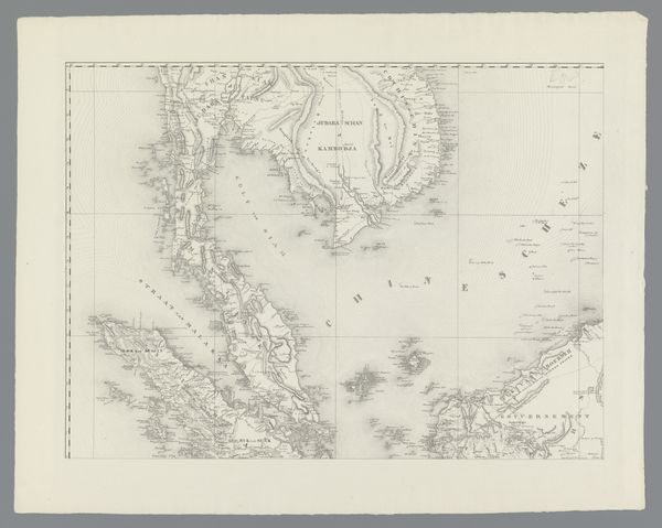
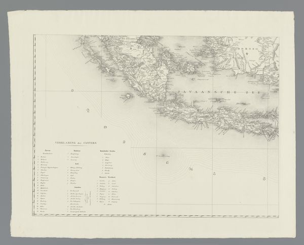
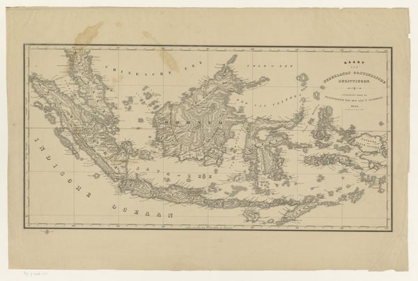
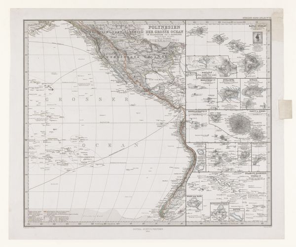
This is a map of the Dutch East Indies, now Indonesia, created by Franciscus Josephus Ensinck in the 19th century. It’s a lithograph, a type of print made from a stone or metal plate. This map reflects the Dutch colonial project, a time when the Netherlands exerted its power over what is now Indonesia. These maps were vital tools, weren't they, used for navigation, administration, and military planning. The detailed coastlines and place names, all recorded and labeled, show the extent of Dutch knowledge and control. The map served as a symbol of Dutch power and influence in the region. Institutions like the Dutch East India Company played a significant role in shaping the economic and political landscape of the East Indies. As historians, we examine such maps not just for their geographical accuracy, but for what they reveal about the social and political context in which they were made. We look at archival documents, historical accounts, and other sources to understand the full story behind the image, its silences, and what it tells us about the relationship between colonizer and colonized.
Comments
No comments
Be the first to comment and join the conversation on the ultimate creative platform.
More like this